EstuaryWatch Data Portal
Observation details
Overview
| Estuary | Barham River Estuary |
|---|---|
| Site | Barham River Observation Site |
| Observation ID | #5086 |
| Date and Time | Thursday 3rd February 2011 12:08pm |
| Approved | Approved |
Notes
Air Pressure 1014.3 hPa, Rainfall 0.00mm last 48 hrs.
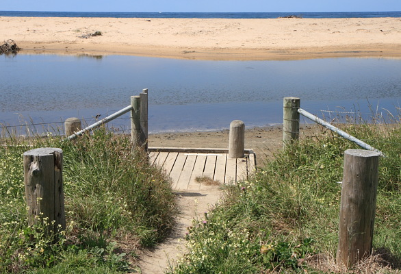
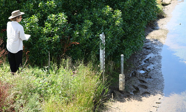
River level very low. River gauge exposed down to mud layers that have buried the lower readings beyond 0.5 m. Recorded reading above is an estimate only.
Stains and dampness of the exposed sand along river banks suggest that the overnight high tide of 1.4m did have a tidal influence on the river.
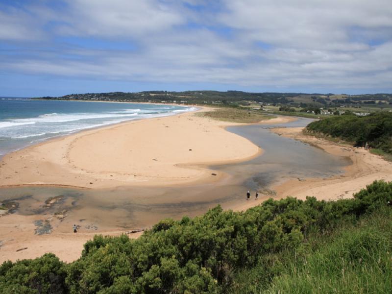
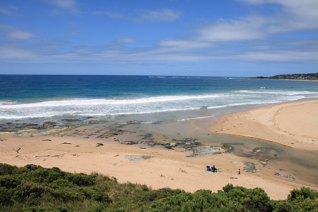
Mouth Observation
| Mouth state | Open |
|---|---|
| Previous | O O O O O O O O O O O O |
| Flow Present? | Yes |
| Previous | Y N Y Y Y Y Y Y Y |
| Flow Direction | In |
| Previous | I I N O O O O O O I O |
| Above Sea | Above Estuary | |
|---|---|---|
| Berm Height (m) | ||
| Berm Length (m) |
Physical Condition
| Current | Mode | |
|---|---|---|
| Wind Direction | South | West |
| Beaufort Scale | Gentle breeze | Moderate breeze |
| Sea State | Slight |


All content, files, data and images provided by the EstuaryWatch Data Portal and Gallery are subject to a Creative Commons Attribution License
Content is made available to be used in any way, and should always attribute EstuaryWatch and www.estuarywatch.org.au