EstuaryWatch Data Portal
GMC Gellibrand River Estuary Mouth Observation Site
4 March 2011
Observation details
Overview
| Estuary | Gellibrand River Estuary |
|---|---|
| Site | Gellibrand River Estuary Mouth Observation Site |
| Observation ID | #5242 |
| Date and Time | Friday 4th March 2011 10:20am |
| Approved | Approved |
Notes
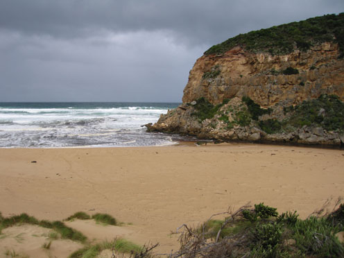
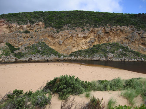
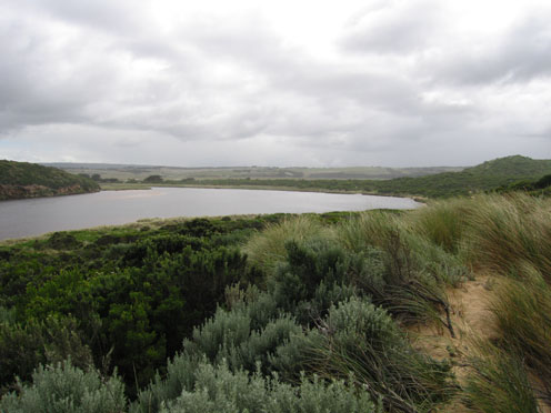
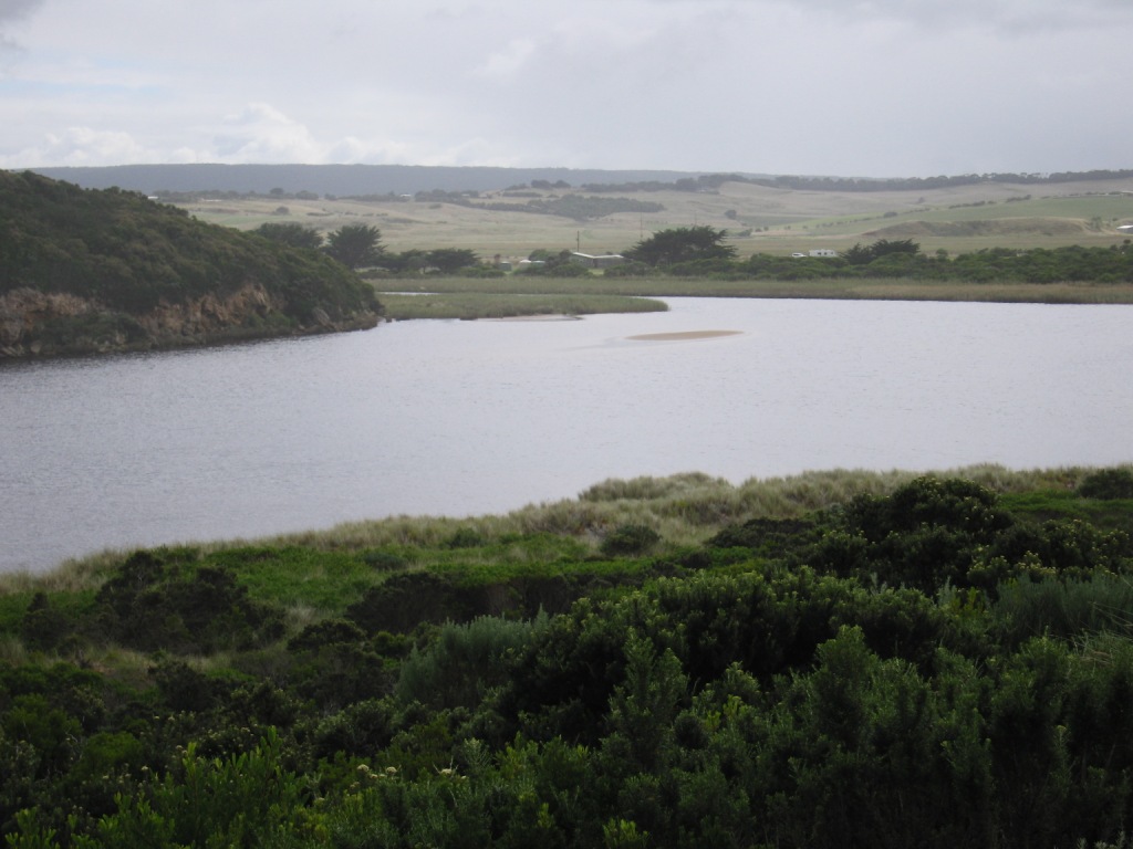
1. Sea entering estuary, sand build up around rocks.
2. Evidence of strong longshore drift at last hi tide bringing more sand into channel upstream of rocks
3.Beach has increased steep front
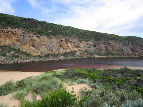
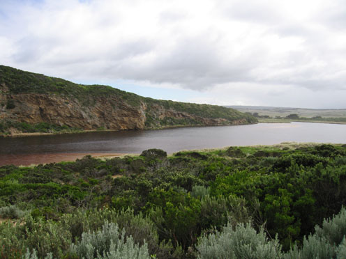
4.Increased water level in estuary
5. Many small fish in sheltered shallow areas - east side of estuary
6.Dead Penguins (2) (fresh) one with head & neck wounds
Mouth Observation
| Mouth state | Open |
|---|---|
| Previous | O O O O O O O O P O O O O O O P O O O O O O O O O O O O O O O O O O O O O O O O O O O O O O O O O O O O O O O O O O O O |
| Flow Present? | Yes |
| Previous | Y Y Y Y Y Y Y Y Y Y Y Y Y Y Y Y Y Y Y Y Y Y Y Y Y Y Y Y Y Y Y Y Y Y Y Y Y Y Y Y Y Y Y Y Y Y Y Y Y Y Y Y Y Y Y Y Y Y Y Y |
| Flow Direction | Out |
| Previous | O O I O O I O O I O O O O I O I O I O O I O O O O O O O O O O O O O O O O O O O O O O O O O O O O O O O O O O O O O O O |
| Above Sea | Above Estuary | |
|---|---|---|
| Berm Height (m) | ||
| Berm Length (m) |
Physical Condition
| Current | Mode | |
|---|---|---|
| Wind Direction | South | |
| Beaufort Scale | Fresh breeze | |
| Sea State | Moderate |


All content, files, data and images provided by the EstuaryWatch Data Portal and Gallery are subject to a Creative Commons Attribution License
Content is made available to be used in any way, and should always attribute EstuaryWatch and www.estuarywatch.org.au