EstuaryWatch Data Portal
GMC Gellibrand River Estuary Mouth Observation Site
11 March 2011
Observation details
Overview
| Estuary | Gellibrand River Estuary |
|---|---|
| Site | Gellibrand River Estuary Mouth Observation Site |
| Observation ID | #5305 |
| Date and Time | Friday 11th March 2011 12:15pm |
| Approved | Approved |
Notes
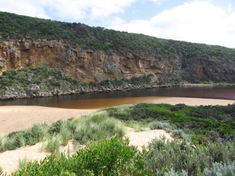
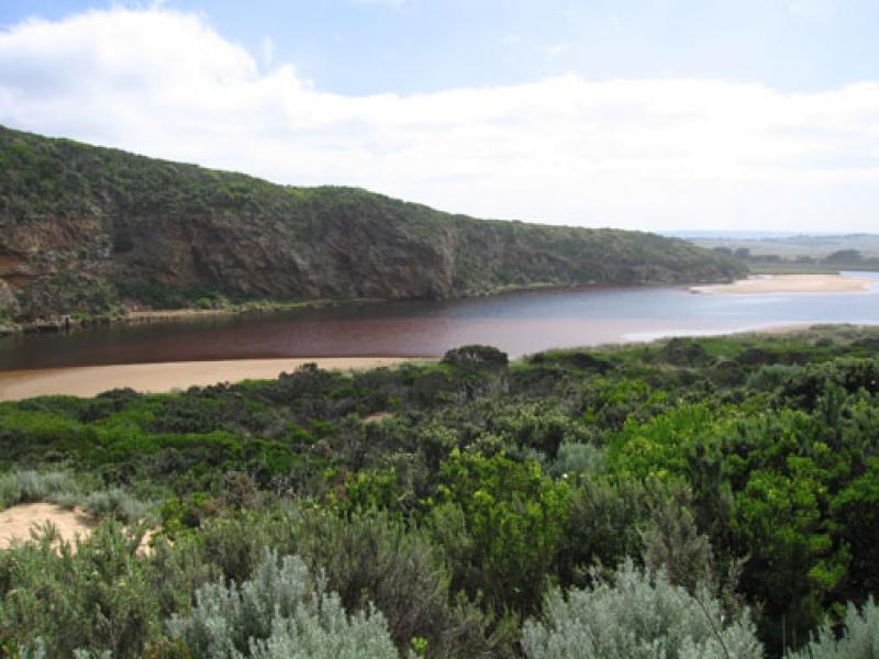
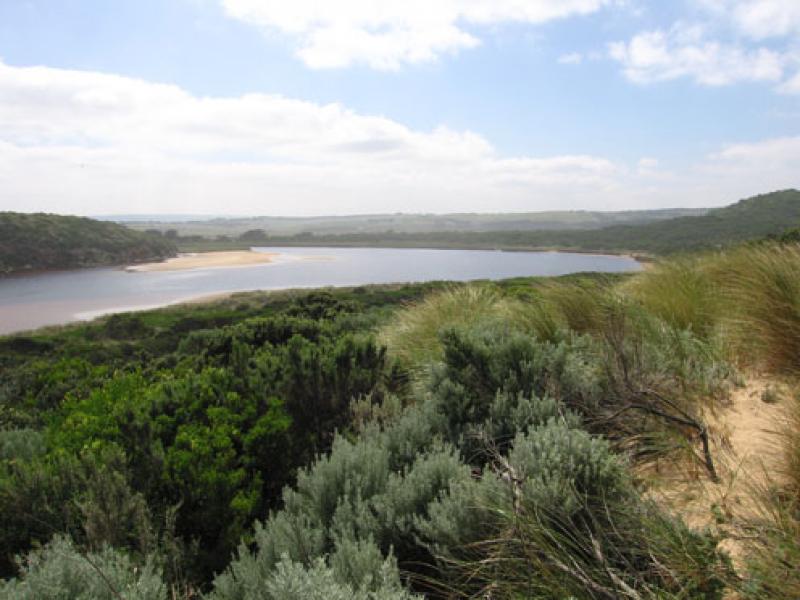
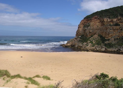
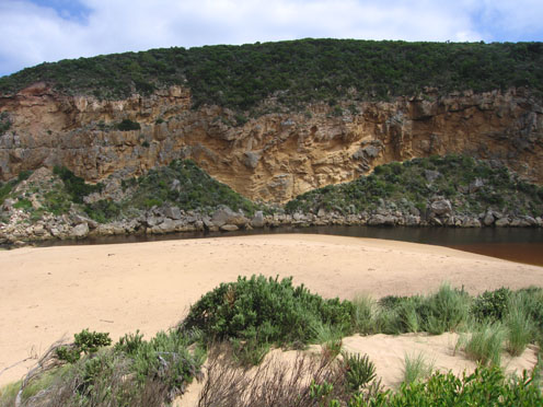
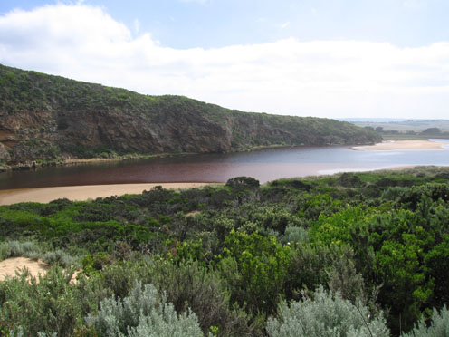
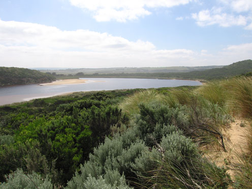
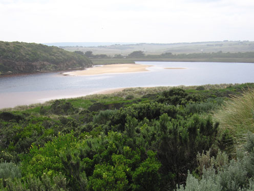
1.Dark discharge out - around mouth and to both east & west
2.Shore line is straight to rocks with sand build up behind them
3.Longshore drift bringing in more sand to channel
4.Water very red colour in estuary.
5.Leucopogon pavarivifliorus dying off in all areas
6.Large no. Cabbage butterflies in all areas
Mouth Observation
| Mouth state | Open |
|---|---|
| Previous | O O O O O O O P O O O O O O P O O O O O O O O O O O O O O O O O O O O O O O O O O O O O O O O O O O O O O O O O O O O O |
| Flow Present? | Yes |
| Previous | Y Y Y Y Y Y Y Y Y Y Y Y Y Y Y Y Y Y Y Y Y Y Y Y Y Y Y Y Y Y Y Y Y Y Y Y Y Y Y Y Y Y Y Y Y Y Y Y Y Y Y Y Y Y Y Y Y Y Y Y |
| Flow Direction | Out |
| Previous | O I O O I O O I O O O O I O I O I O O I O O O O O O O O O O O O O O O O O O O O O O O O O O O O O O O O O O O O O O O O |
| Above Sea | Above Estuary | |
|---|---|---|
| Berm Height (m) | ||
| Berm Length (m) |
Physical Condition
| Current | Mode | |
|---|---|---|
| Wind Direction | South | |
| Beaufort Scale | Gentle breeze | |
| Sea State | Slight |


All content, files, data and images provided by the EstuaryWatch Data Portal and Gallery are subject to a Creative Commons Attribution License
Content is made available to be used in any way, and should always attribute EstuaryWatch and www.estuarywatch.org.au