EstuaryWatch Data Portal
GMC Gellibrand River Estuary Mouth Observation Site
13 May 2011
Observation details
Overview
| Estuary | Gellibrand River Estuary |
|---|---|
| Site | Gellibrand River Estuary Mouth Observation Site |
| Observation ID | #5522 |
| Date and Time | Friday 13th May 2011 09:42am |
| Approved | Approved |
Notes
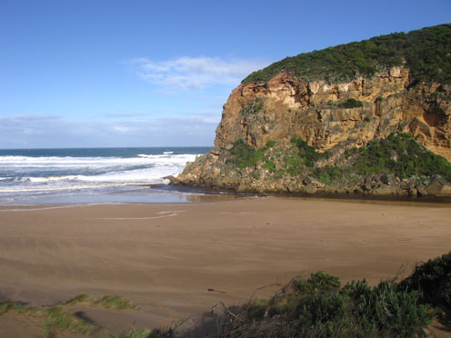
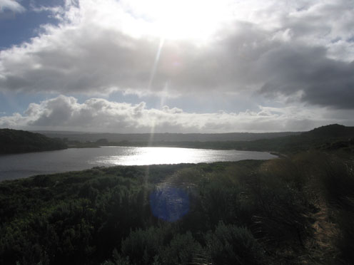
1.Dark discharge around mouth - also to east along shoreline. Discharge to west shows much sand
2.Waves circling at mouth, some waves entering channel and high up on beach
3.Beach wide with gradual slope
4. Wind & longshore drift bringing more sand into channel between rocks & tunnel
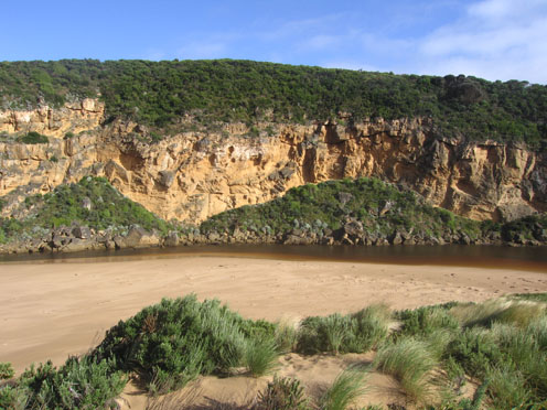
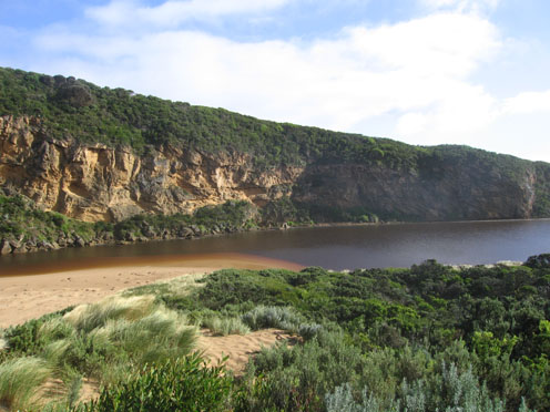
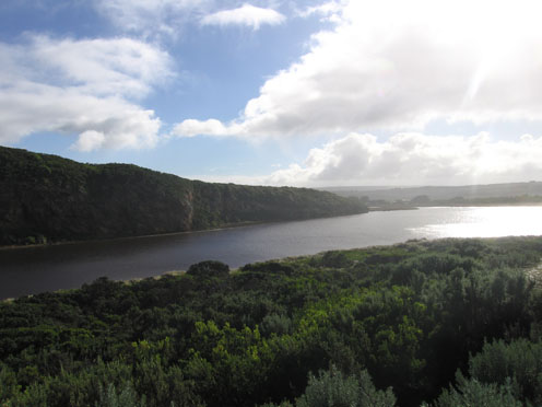
5. Water level high in estuary
6. Dead Penguin 1.
Mouth Observation
| Mouth state | Open |
|---|---|
| Previous | O O O O P O O O O O O O O O O O O O O O O O O O O O O O O O O O O O O O O O O O O O O O O O O O O O O O O O O O O O O |
| Flow Present? | Yes |
| Previous | Y Y Y Y Y Y Y Y Y Y Y Y Y Y Y Y Y Y Y Y Y Y Y Y Y Y Y Y Y Y Y Y Y Y Y Y Y Y Y Y Y Y Y Y Y Y Y Y Y Y Y Y Y Y Y Y Y Y Y |
| Flow Direction | Out |
| Previous | O O I O I O I O O I O O O O O O O O O O O O O O O O O O O O O O O O O O O O O O O O O O O O O O O O O O O O O O O O I |
| Above Sea | Above Estuary | |
|---|---|---|
| Berm Height (m) | ||
| Berm Length (m) |
Physical Condition
| Current | Mode | |
|---|---|---|
| Wind Direction | South | |
| Beaufort Scale | High wind, moderate gale, near gale | |
| Sea State | Rough |


All content, files, data and images provided by the EstuaryWatch Data Portal and Gallery are subject to a Creative Commons Attribution License
Content is made available to be used in any way, and should always attribute EstuaryWatch and www.estuarywatch.org.au