EstuaryWatch Data Portal
GMC Gellibrand River Estuary Mouth Observation Site
20 May 2011
Observation details
Overview
| Estuary | Gellibrand River Estuary |
|---|---|
| Site | Gellibrand River Estuary Mouth Observation Site |
| Observation ID | #5561 |
| Date and Time | Friday 20th May 2011 10:15am |
| Approved | Approved |
Notes
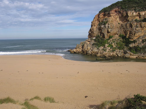
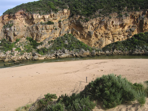
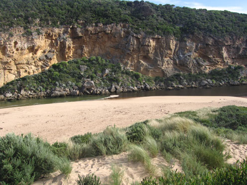
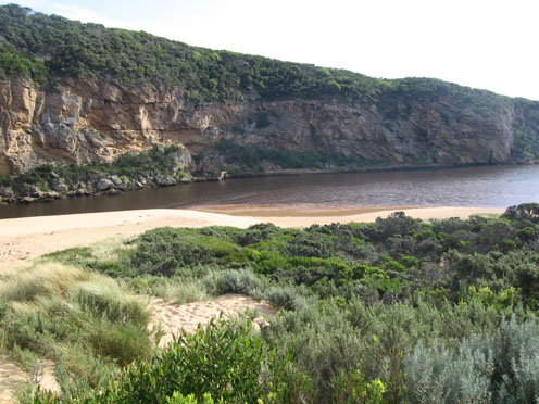
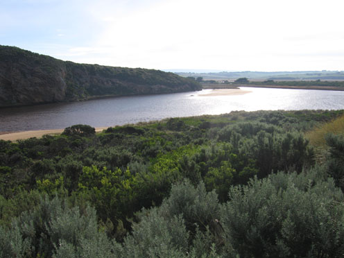
1.Salt water entering, salt/fresh divide midway between mouth & tunnel
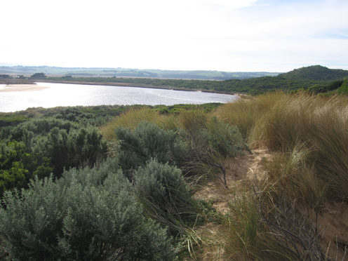
2.Recent natural release of water has cut channel with sheer side east of rocks
3. Beach very wide, sand building up higher mid beach
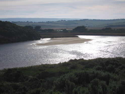
4.Sand build up visiable under water at mouth
5.Sandbar in estuary exposed, also large area on east side
6.Singing Honeyeaters 3.
Mouth Observation
| Mouth state | Open |
|---|---|
| Previous | O O O P O O O O O O O O O O O O O O O O O O O O O O O O O O O O O O O O O O O O O O O O O O O O O O O O O O O O O O O |
| Flow Present? | Yes |
| Previous | Y Y Y Y Y Y Y Y Y Y Y Y Y Y Y Y Y Y Y Y Y Y Y Y Y Y Y Y Y Y Y Y Y Y Y Y Y Y Y Y Y Y Y Y Y Y Y Y Y Y Y Y Y Y Y Y Y Y Y |
| Flow Direction | In |
| Previous | O I O I O I O O I O O O O O O O O O O O O O O O O O O O O O O O O O O O O O O O O O O O O O O O O O O O O O O O O I O |
| Above Sea | Above Estuary | |
|---|---|---|
| Berm Height (m) | ||
| Berm Length (m) |
Physical Condition
| Current | Mode | |
|---|---|---|
| Wind Direction | North | |
| Beaufort Scale | Moderate breeze | |
| Sea State | Slight |


All content, files, data and images provided by the EstuaryWatch Data Portal and Gallery are subject to a Creative Commons Attribution License
Content is made available to be used in any way, and should always attribute EstuaryWatch and www.estuarywatch.org.au