EstuaryWatch Data Portal
Observation details
Overview
| Estuary | Barham River Estuary |
|---|---|
| Site | Barham River Observation Site |
| Observation ID | #5645 |
| Date and Time | Tuesday 7th June 2011 15:27pm |
| Approved | Approved |
Notes
Air Pressure 1012 hPa, Rainfall last 48 hours 17.4mm
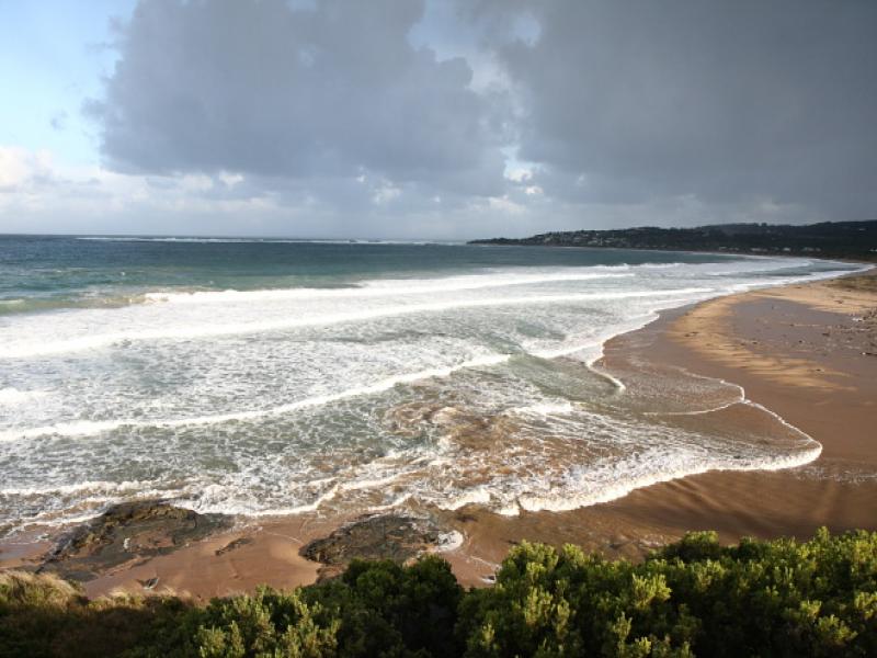
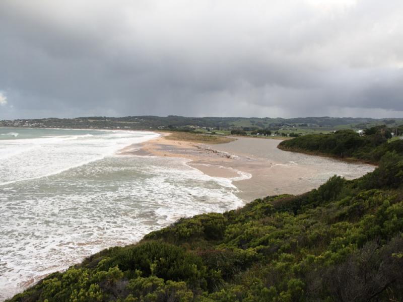
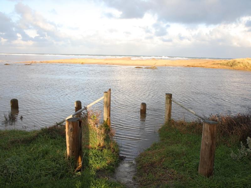
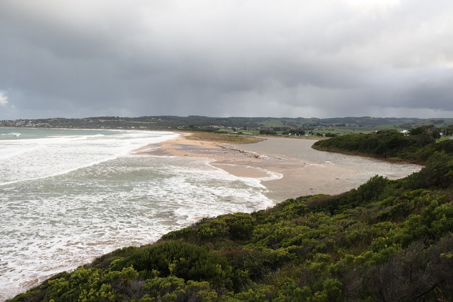
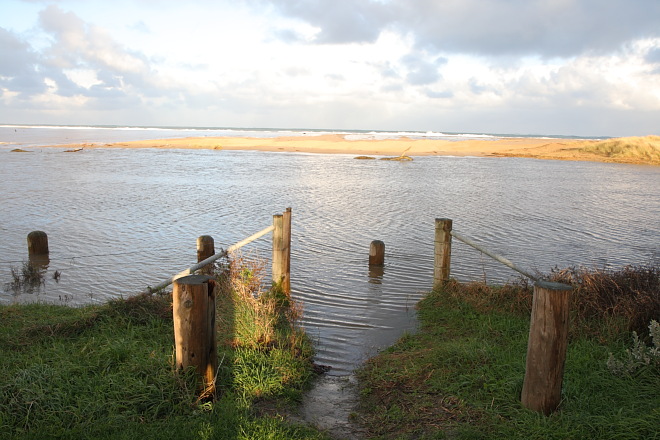
River level high from winter rainfall, covering fishing platforms. Storm surge and high tide waves washing over lowered berms at both bridge site and golf course site. The berm at the mouth has been lowered to sea level at high tide. See photos. Storm surge slowing outward flow of river at high tide.
Mouth Observation
| Mouth state | Open |
|---|---|
| Previous | O O O O O O O O O O O O |
| Flow Present? | Yes |
| Previous | Y Y Y Y Y Y Y Y Y Y Y |
| Flow Direction | Out |
| Previous | O O O O O I O I O I I |
| Above Sea | Above Estuary | |
|---|---|---|
| Berm Height (m) | ||
| Berm Length (m) |
Physical Condition
| Current | Mode | |
|---|---|---|
| Wind Direction | West | North |
| Beaufort Scale | Fresh breeze | Fresh breeze |
| Sea State | Very Rough |


All content, files, data and images provided by the EstuaryWatch Data Portal and Gallery are subject to a Creative Commons Attribution License
Content is made available to be used in any way, and should always attribute EstuaryWatch and www.estuarywatch.org.au