EstuaryWatch Data Portal
GMC Gellibrand River Estuary Mouth Observation Site
2 July 2011
Observation details
Overview
| Estuary | Gellibrand River Estuary |
|---|---|
| Site | Gellibrand River Estuary Mouth Observation Site |
| Observation ID | #5764 |
| Date and Time | Saturday 2nd July 2011 09:22am |
| Approved | Approved |
Notes
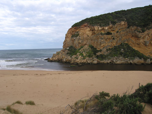
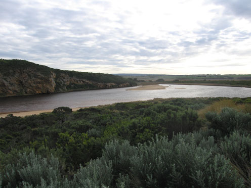
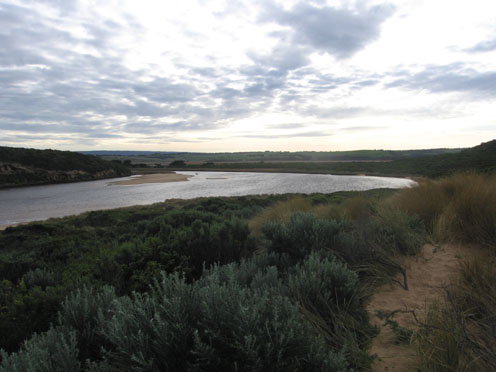
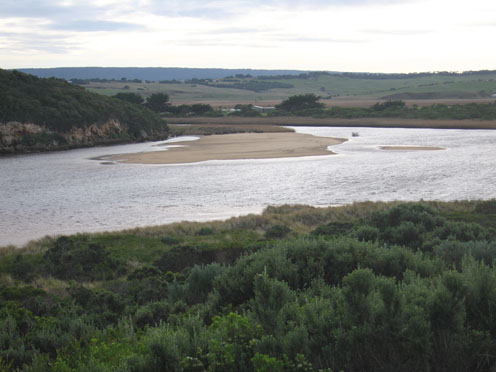
1.Discharge around mouth & out to sea - both east & west
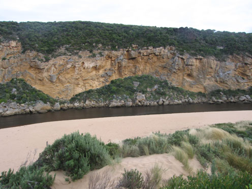
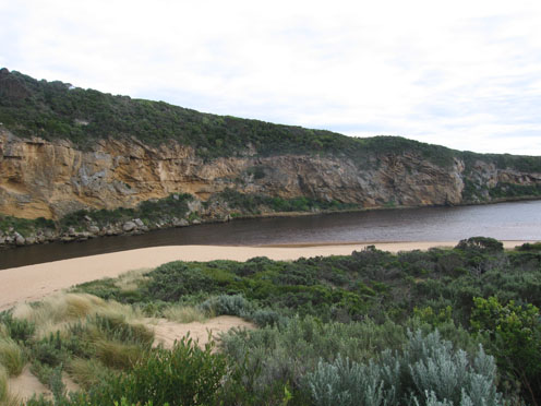
2.Channel 20m. with 1-2m. steep east bank (Top shows interesting erosion shapes.)
3.Longshore drift returning to mouth.
4.Surfers (4) in waves around mouth area
5.Seagrass showing signs of re-growth along eastern edge of estuary.
6.Banded Rail at carpark
7.Cat, dog & fox prints around estuary
Mouth Observation
| Mouth state | Open |
|---|---|
| Previous | O O O O O O O O O O O O O O O O O O O O O O O O O O O O O O O O O O O O O O O O O O O O O O O O O O O O O O O O O O |
| Flow Present? | Yes |
| Previous | Y Y Y Y Y Y Y Y Y Y Y Y Y Y Y Y Y Y Y Y Y Y Y Y Y Y Y Y Y Y Y Y Y Y Y Y Y Y Y Y Y Y Y Y Y Y Y Y Y Y Y Y Y Y Y Y Y Y |
| Flow Direction | Out |
| Previous | O I O O O O O O O O O O O O O O O O O O O O O O O O O O O O O O O O O O O O O O O O O O O O O O O O I O I O I O I O |
| Above Sea | Above Estuary | |
|---|---|---|
| Berm Height (m) | ||
| Berm Length (m) |
Physical Condition
| Current | Mode | |
|---|---|---|
| Wind Direction | North | |
| Beaufort Scale | High wind, moderate gale, near gale | |
| Sea State | Moderate |


All content, files, data and images provided by the EstuaryWatch Data Portal and Gallery are subject to a Creative Commons Attribution License
Content is made available to be used in any way, and should always attribute EstuaryWatch and www.estuarywatch.org.au