EstuaryWatch Data Portal
GMC Gellibrand River Estuary Mouth Observation Site
8 July 2011
Observation details
Overview
| Estuary | Gellibrand River Estuary |
|---|---|
| Site | Gellibrand River Estuary Mouth Observation Site |
| Observation ID | #5802 |
| Date and Time | Friday 8th July 2011 08:52am |
| Approved | Approved |
Notes
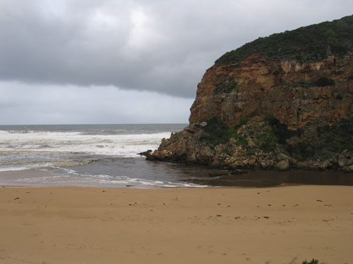
1.Strong outflow with visiable high turbidity
2.Water in all directins at mouth. Longshore drift active
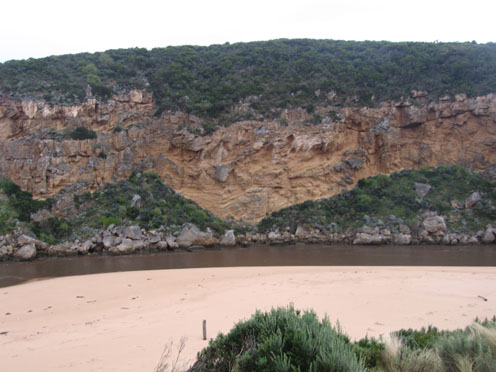
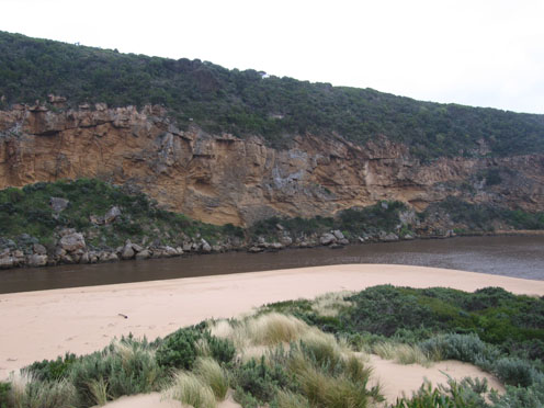
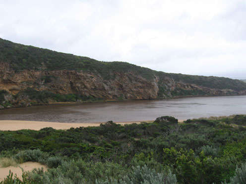
3.Beach-gradual slope with deep scouring at eastern end. Large amount of foam in breakers and on beach. 17 large logs on beach &8 more in estuary
4.Water has been up to base of sand dunes on foreshore and estuary, a large area has been washed away on south side of estuary during high tides & rough sea. Water reached ocean carpark along low track
5.Dead Gannet on beach, also 2 dead penguins, one eastside of the channel
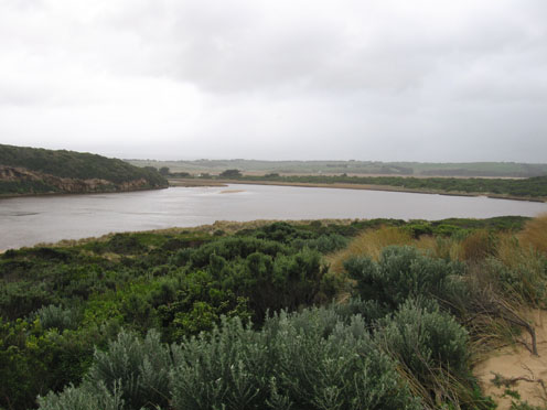
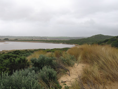
Mouth Observation
| Mouth state | Open |
|---|---|
| Previous | O O O O O O O O O O O O O O O O O O O O O O O O O O O O O O O O O O O O O O O O O O O O O O O O O O O O O O O O O O O |
| Flow Present? | Yes |
| Previous | Y Y Y Y Y Y Y Y Y Y Y Y Y Y Y Y Y Y Y Y Y Y Y Y Y Y Y Y Y Y Y Y Y Y Y Y Y Y Y Y Y Y Y Y Y Y Y Y Y Y Y Y Y Y Y Y Y Y Y |
| Flow Direction | Out |
| Previous | I O O O O O O O O O O O O O O O O O O O O O O O O O O O O O O O O O O O O O O O O O O O O O O O O I O I O I O I O O O |
| Above Sea | Above Estuary | |
|---|---|---|
| Berm Height (m) | ||
| Berm Length (m) |
Physical Condition
| Current | Mode | |
|---|---|---|
| Wind Direction | North | |
| Beaufort Scale | Strong breeze | |
| Sea State | Rough |


All content, files, data and images provided by the EstuaryWatch Data Portal and Gallery are subject to a Creative Commons Attribution License
Content is made available to be used in any way, and should always attribute EstuaryWatch and www.estuarywatch.org.au