EstuaryWatch Data Portal
GMC Gellibrand River Estuary Mouth Observation Site
16 July 2011
Observation details
Overview
| Estuary | Gellibrand River Estuary |
|---|---|
| Site | Gellibrand River Estuary Mouth Observation Site |
| Observation ID | #5845 |
| Date and Time | Saturday 16th July 2011 08:33am |
| Approved | Approved |
Notes
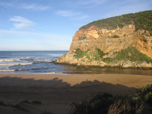
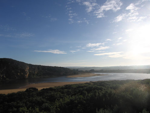
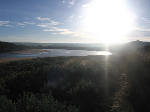
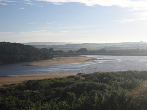
1.Strong dark outflow to east & west, waves in all directions around mouth. Occasional small wave entering estuary
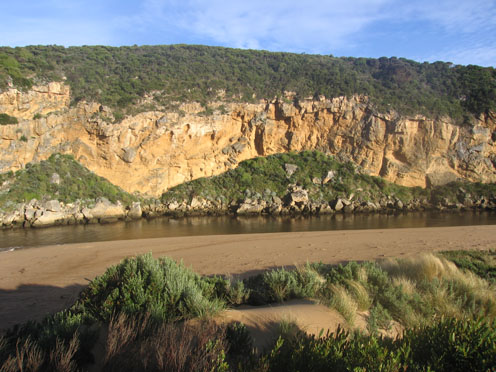
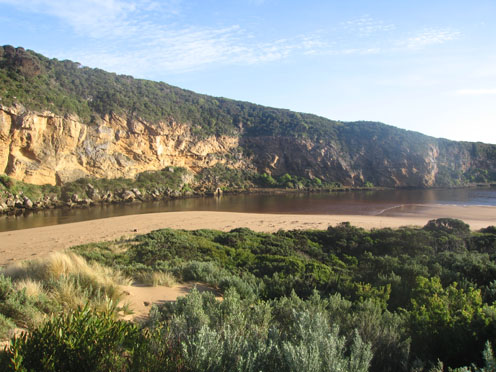
2.Beach covered with silt & reeds up to base of dunes, east end scoured out with large mass of foam on rocks
3. High edge to channel (1m above water level) on east side of estuary continuing around to rocks
4. Frost cover on estuary vegetation near car park
5.White headed Hreons 2, Rail 1.
Mouth Observation
| Mouth state | Open |
|---|---|
| Previous | O O O O O O O O O O O O O O O O O O O O O O O O O O O O O O O O O O O O O O O O O O O O O O O O O O O O O O O O O O |
| Flow Present? | Yes |
| Previous | Y Y Y Y Y Y Y Y Y Y Y Y Y Y Y Y Y Y Y Y Y Y Y Y Y Y Y Y Y Y Y Y Y Y Y Y Y Y Y Y Y Y Y Y Y Y Y Y Y Y Y Y Y Y Y Y Y Y |
| Flow Direction | Out |
| Previous | O O O O O O O O O O O O O O O O O O O O O O O O O O O O O O O O O O O O O O O O O O O O O O O O I O I O I O I O O O |
| Above Sea | Above Estuary | |
|---|---|---|
| Berm Height (m) | ||
| Berm Length (m) |
Physical Condition
| Current | Mode | |
|---|---|---|
| Wind Direction | North | |
| Beaufort Scale | Fresh breeze | |
| Sea State | Moderate |


All content, files, data and images provided by the EstuaryWatch Data Portal and Gallery are subject to a Creative Commons Attribution License
Content is made available to be used in any way, and should always attribute EstuaryWatch and www.estuarywatch.org.au