EstuaryWatch Data Portal
BmMC Barham River Observation Site
30 December 2011
Observation details
Overview
| Estuary | Barham River Estuary |
|---|---|
| Site | Barham River Observation Site |
| Observation ID | #6501 |
| Date and Time | Friday 30th December 2011 16:10pm |
| Approved | Approved |
Notes
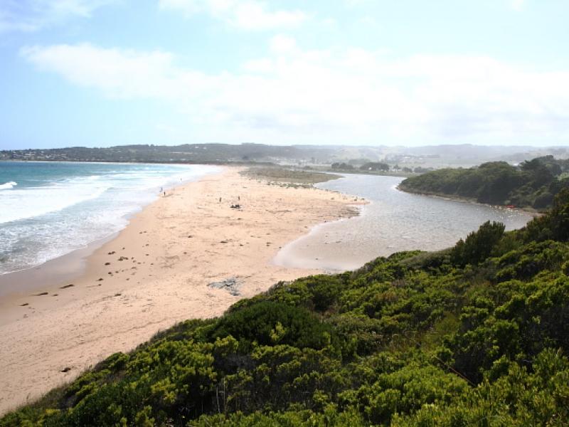
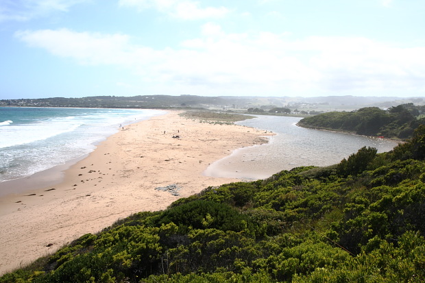
Rainfall last 48 hours : nil, Atmospheric Pressure 1020 hPa. Though the estuary mouth was closed, a very shallow berm blocked the mouth. At higher tides than 1.4m waves would break over the berm and raise the river level close to the mouth. Water staining on sandy river bank supports this supposition.
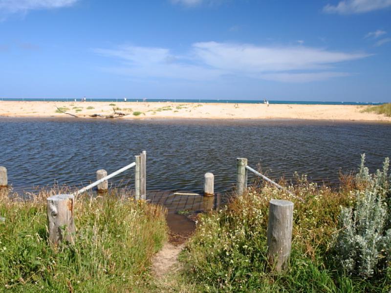
Mouth Observation
| Mouth state | Closed |
|---|---|
| Previous | O O O O O O O O O O O O |
| Flow Present? | No |
| Previous | Y Y Y Y Y Y Y Y Y Y Y Y |
| Flow Direction | N/A |
| Previous | O I O I I O I O I O O I |
| Above Sea | Above Estuary | |
|---|---|---|
| Berm Height (m) | 0.3m | 0.1m |
| Berm Length (m) |
Physical Condition
| Current | Mode | |
|---|---|---|
| Wind Direction | North-East | East |
| Beaufort Scale | Gentle breeze | Moderate breeze |
| Sea State | Moderate |


All content, files, data and images provided by the EstuaryWatch Data Portal and Gallery are subject to a Creative Commons Attribution License
Content is made available to be used in any way, and should always attribute EstuaryWatch and www.estuarywatch.org.au