EstuaryWatch Data Portal
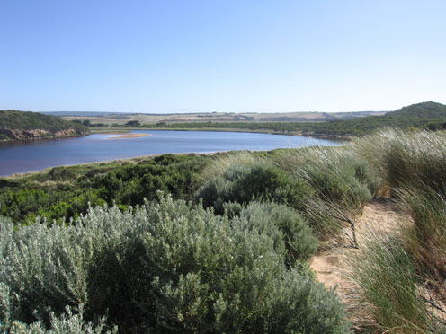
GMC Gellibrand River Estuary Mouth Observation Site
16 December 2011
Observation details
Overview
| Estuary | Gellibrand River Estuary |
|---|---|
| Site | Gellibrand River Estuary Mouth Observation Site |
| Observation ID | #6528 |
| Date and Time | Friday 16th December 2011 09:05am |
| Approved | Approved |
Notes
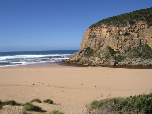
1.slight coloured discharge around mouth, east & west
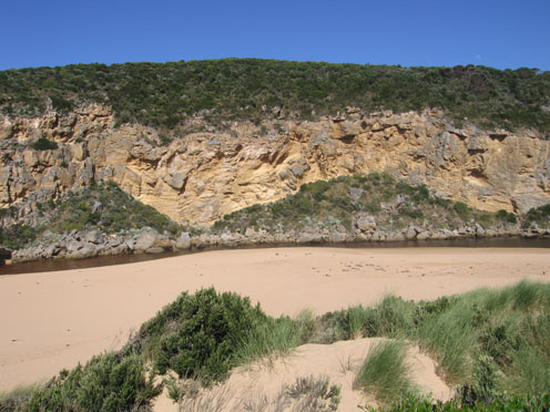
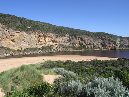
2.Channel very narrow at mouth, flow only against cliff.
3.Waves in all directions at mouth
4.East end of beach still has high sheer sand close to dunes
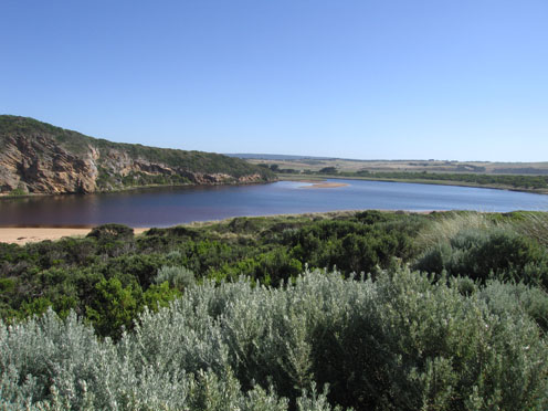
5. High tide has nearly reached dunes on ocean beach & water was about 1m higher than present level in estuary
6.Small fish 1-2cm in shallow water s/e side of estuary
7.Dead Wallaby wrapped in large amount of seaweed near channel (juvenile)
Mouth Observation
| Mouth state | Open |
|---|---|
| Previous | O O O O O O O O O O O O O O O O O O O O O O O O O O O O O O O O O O O O O O O O O O O O O O O O O O O O O O O O |
| Flow Present? | Yes |
| Previous | Y Y Y Y Y Y Y Y Y Y Y Y Y Y Y Y Y Y Y Y Y Y Y Y Y Y Y Y Y Y Y Y Y Y Y Y Y Y Y Y Y Y Y Y Y Y Y Y Y Y Y Y Y Y Y Y |
| Flow Direction | Out |
| Previous | O O O O O O O O O O O O O O O O O O O O O O O I O I O I O I O O O O O O O O O O O O O O O O O O O O O O O O |
| Above Sea | Above Estuary | |
|---|---|---|
| Berm Height (m) | ||
| Berm Length (m) |
Physical Condition
| Current | Mode | |
|---|---|---|
| Wind Direction | South | |
| Beaufort Scale | Fresh breeze | |
| Sea State | Moderate |


All content, files, data and images provided by the EstuaryWatch Data Portal and Gallery are subject to a Creative Commons Attribution License
Content is made available to be used in any way, and should always attribute EstuaryWatch and www.estuarywatch.org.au