EstuaryWatch Data Portal
Observation details
Overview
| Estuary | Barham River Estuary |
|---|---|
| Site | Barham River Observation Site |
| Observation ID | #6823 |
| Date and Time | Tuesday 6th March 2012 09:10am |
| Approved | Approved |
Notes
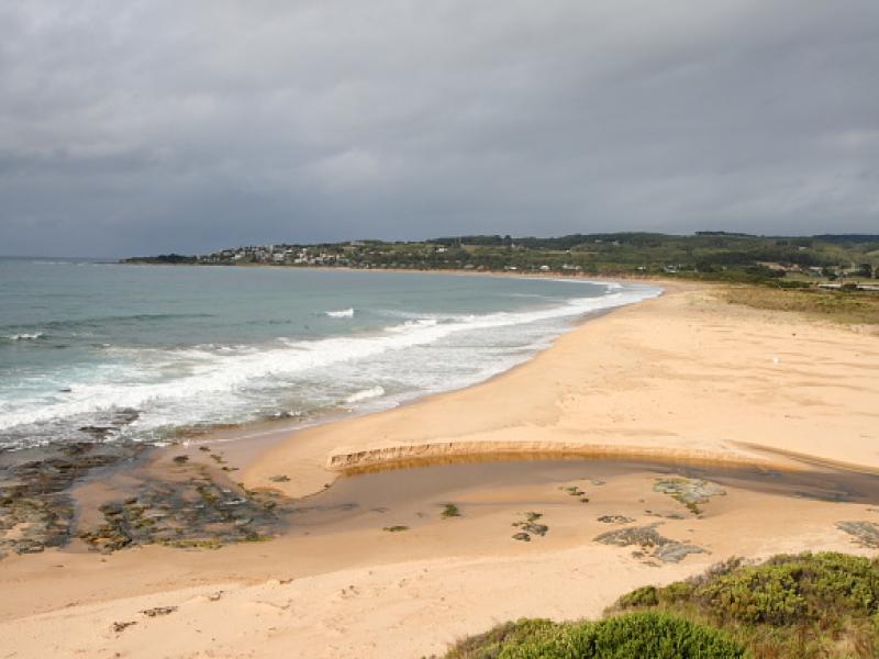
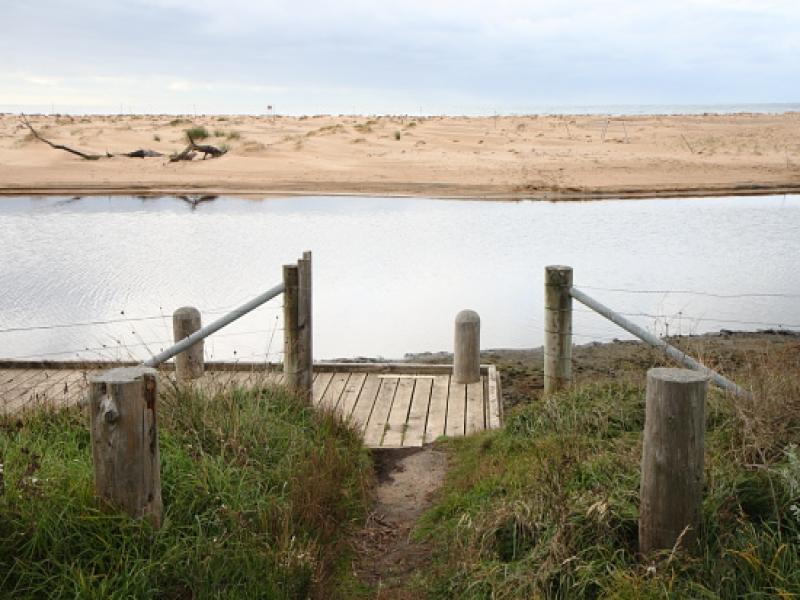
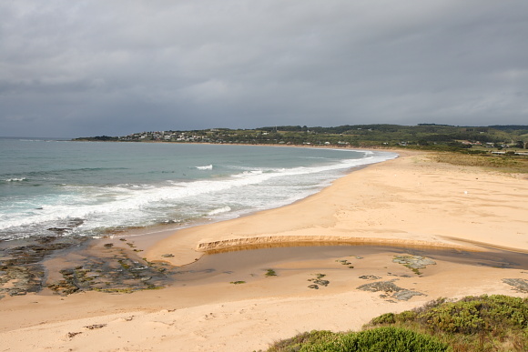
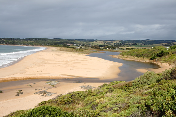
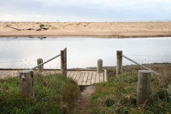
Atmospheric pressure 1024.1 hPa, Rainfall in last 48 hrs 2 mm. Note very strong winds over the previous week. The height and width of the dune between ocean and river has increased in height and width, with vegetation starting to colonize the dune opposite the fishing platform photosite. Although there was no tidal influence at the time of monitoring, the overnight high tide (1.5m) had pushed the level of the river higher, to leave wet stained sand along river bank.
Mouth Observation
| Mouth state | Open |
|---|---|
| Previous | O O O O O O O O O O C C |
| Flow Present? | Yes |
| Previous | Y Y Y Y Y Y Y Y Y Y N N |
| Flow Direction | Out |
| Previous | O I I O I O I O O I N N |
| Above Sea | Above Estuary | |
|---|---|---|
| Berm Height (m) | ||
| Berm Length (m) |
Physical Condition
| Current | Mode | |
|---|---|---|
| Wind Direction | West | East |
| Beaufort Scale | Light Air | Fresh breeze |
| Sea State | Slight |


All content, files, data and images provided by the EstuaryWatch Data Portal and Gallery are subject to a Creative Commons Attribution License
Content is made available to be used in any way, and should always attribute EstuaryWatch and www.estuarywatch.org.au