EstuaryWatch Data Portal
GMC Gellibrand River Estuary Mouth Observation Site
16 March 2012
Observation details
Overview
| Estuary | Gellibrand River Estuary |
|---|---|
| Site | Gellibrand River Estuary Mouth Observation Site |
| Observation ID | #6865 |
| Date and Time | Friday 16th March 2012 09:25am |
| Approved | Approved |
Notes
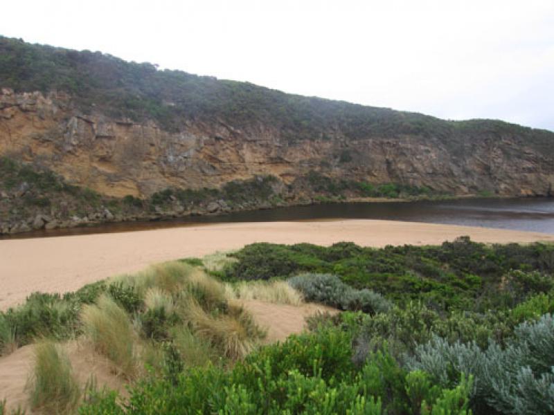
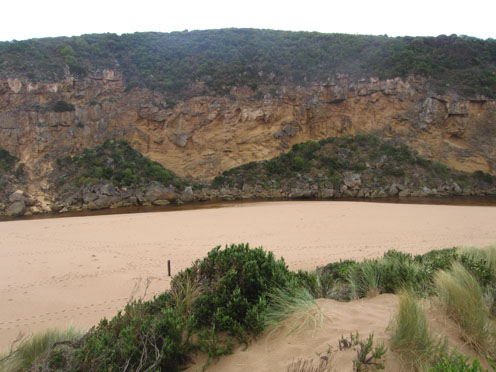
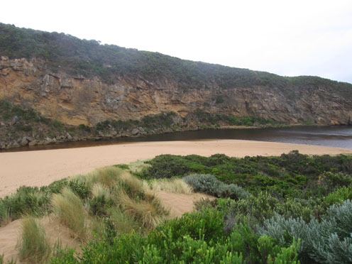
1. Strong shallow flow at mouth over sand build up
2.Steep edge to channel up & downstream of rocks (30-50cm) -flow only between rocks &cliff
3. Channel downstream of tunnel is very shallow (10-100cm)
4.Beach wide with gradual slope
5.Swans 8
6.Good sized fish being caught (only at entrance and Kangaroobie (Bream & Mullett)
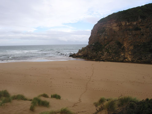
Mouth Observation
| Mouth state | Open |
|---|---|
| Previous | O O O O O O O O O O O O O O O O O O O O O O O O O O O O O O O O O O O O O O O O O O O O C O O O C O O O O |
| Flow Present? | Yes |
| Previous | Y Y Y Y Y Y Y Y Y Y Y Y Y Y Y Y Y Y Y Y Y Y Y Y Y Y Y Y Y Y Y Y Y Y Y Y Y Y Y Y Y Y Y Y N Y Y Y N Y Y Y Y |
| Flow Direction | Out |
| Previous | O O O O O O O I O I O I O I O O O O O O O O O O O O O O O O O O O O O O O O O O O O N O O O N O O O O |
| Above Sea | Above Estuary | |
|---|---|---|
| Berm Height (m) | ||
| Berm Length (m) |
Physical Condition
| Current | Mode | |
|---|---|---|
| Wind Direction | North-West | |
| Beaufort Scale | Gentle breeze | |
| Sea State | Moderate |


All content, files, data and images provided by the EstuaryWatch Data Portal and Gallery are subject to a Creative Commons Attribution License
Content is made available to be used in any way, and should always attribute EstuaryWatch and www.estuarywatch.org.au