EstuaryWatch Data Portal
GMC Gellibrand River Estuary Mouth Observation Site
23 March 2012
Observation details
Overview
| Estuary | Gellibrand River Estuary |
|---|---|
| Site | Gellibrand River Estuary Mouth Observation Site |
| Observation ID | #6942 |
| Date and Time | Friday 23rd March 2012 10:50am |
| Approved | Approved |
Notes
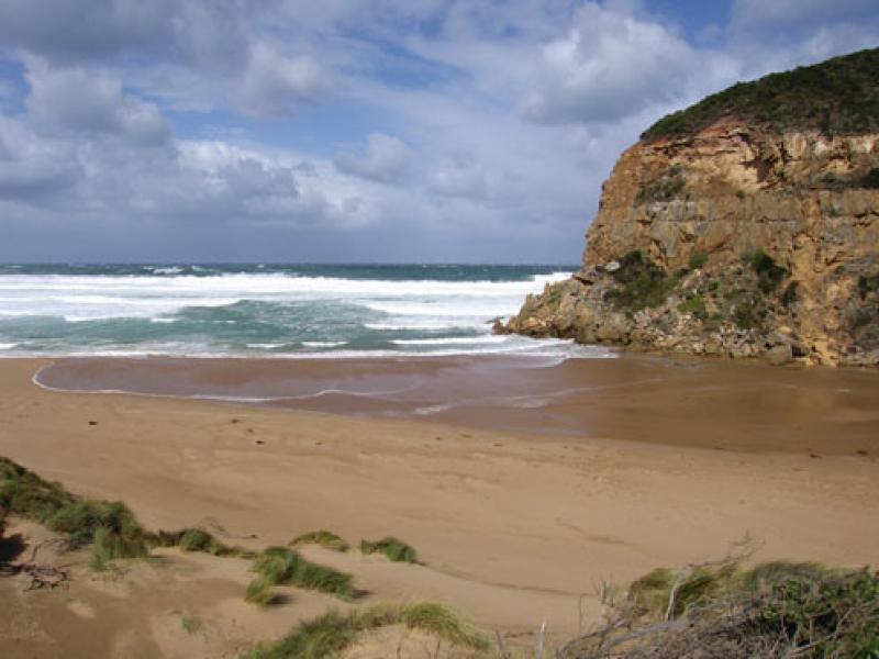
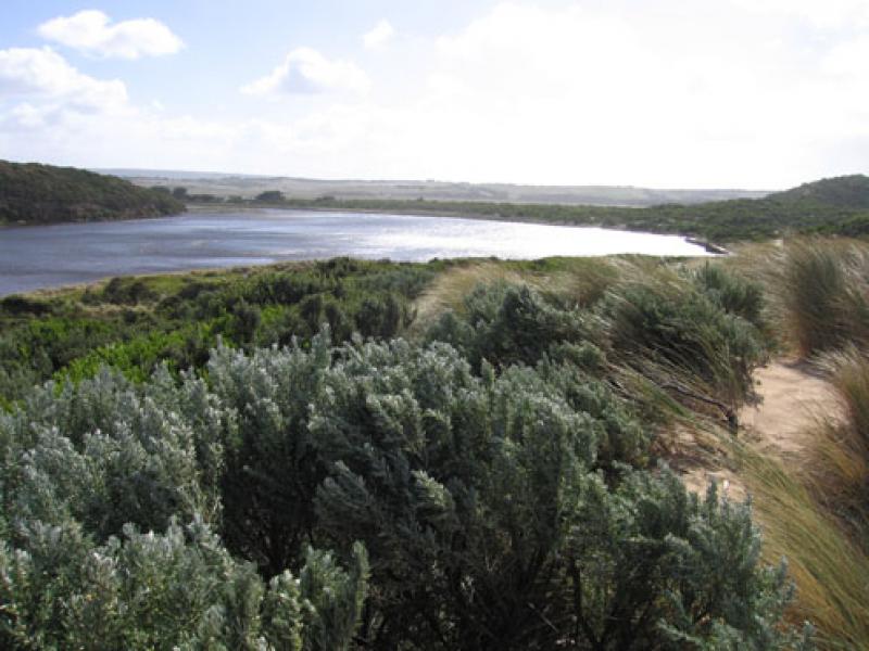
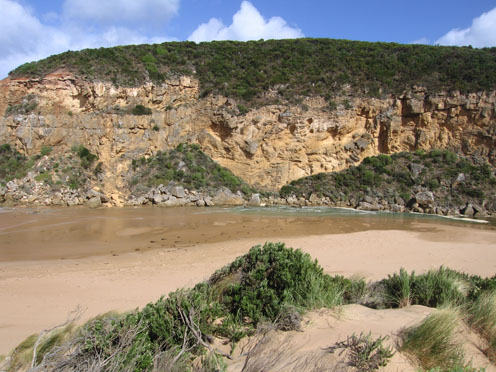
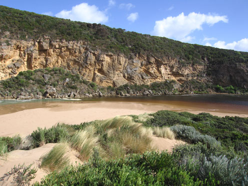
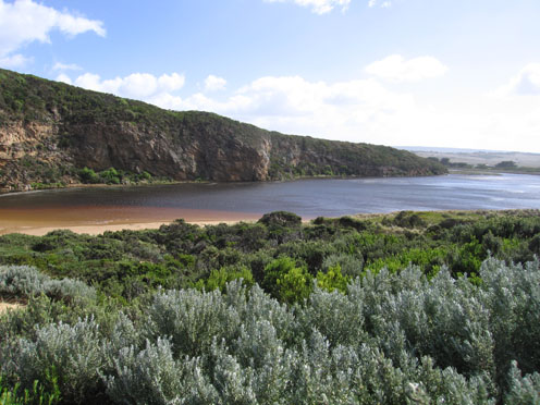
1. Salt water entering over very shallow/ exposed area. Salt water visiable 2/3rd way to tunnel
2. Gale force winds
3. Waves up to base of dunes on ocean beach
4. Waves 20-30cm in estuary -visiability reduced because of spray & wind driven sand
5. Slight increase in area of recent rock fall
6. Rainfall since 21/03/12 = 40 ml.
Mouth Observation
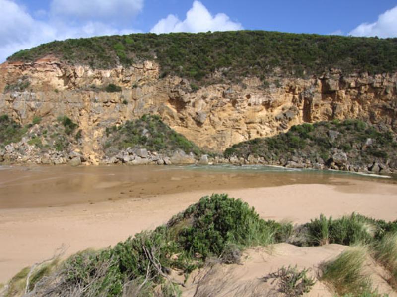
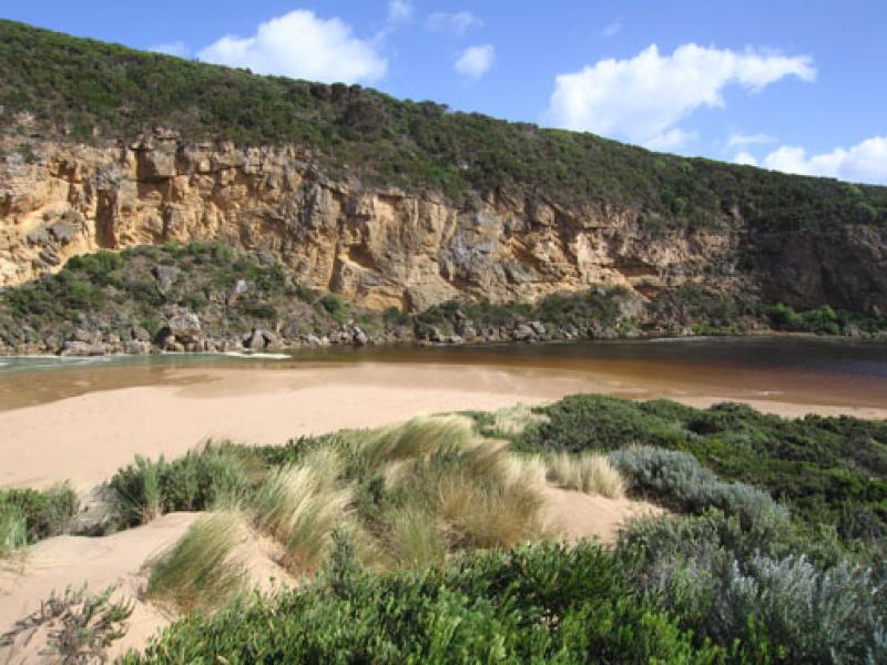
| Mouth state | Perched |
|---|---|
| Previous | O O O O O O O O O O O O O O O O O O O O O O O O O O O O O O O O O O O O O O O O O O O C O O O C O O O O O |
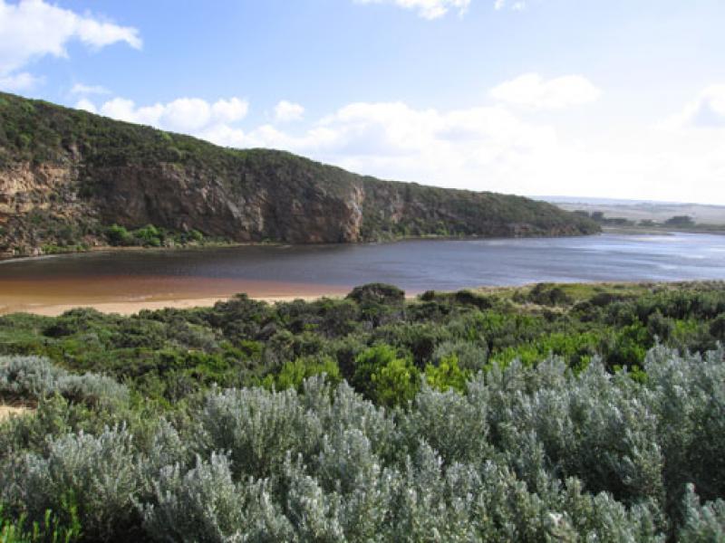
| Flow Present? | Yes |
| Previous | Y Y Y Y Y Y Y Y Y Y Y Y Y Y Y Y Y Y Y Y Y Y Y Y Y Y Y Y Y Y Y Y Y Y Y Y Y Y Y Y Y Y Y N Y Y Y N Y Y Y Y Y |
| Flow Direction | In |
| Previous | O O O O O O I O I O I O I O O O O O O O O O O O O O O O O O O O O O O O O O O O O N O O O N O O O O O |
| Above Sea | Above Estuary | |
|---|---|---|
| Berm Height (m) | ||
| Berm Length (m) |
Physical Condition
| Current | Mode | |
|---|---|---|
| Wind Direction | South | |
| Beaufort Scale | Gale, fresh gale | |
| Sea State | Very Rough |


All content, files, data and images provided by the EstuaryWatch Data Portal and Gallery are subject to a Creative Commons Attribution License
Content is made available to be used in any way, and should always attribute EstuaryWatch and www.estuarywatch.org.au