EstuaryWatch Data Portal
GMC Gellibrand River Estuary Mouth Observation Site
4 May 2012
Observation details
Overview
| Estuary | Gellibrand River Estuary |
|---|---|
| Site | Gellibrand River Estuary Mouth Observation Site |
| Observation ID | #7114 |
| Date and Time | Friday 4th May 2012 09:50am |
| Approved | Approved |
Notes
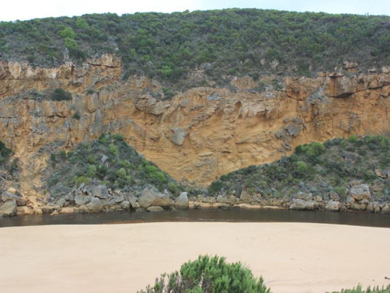
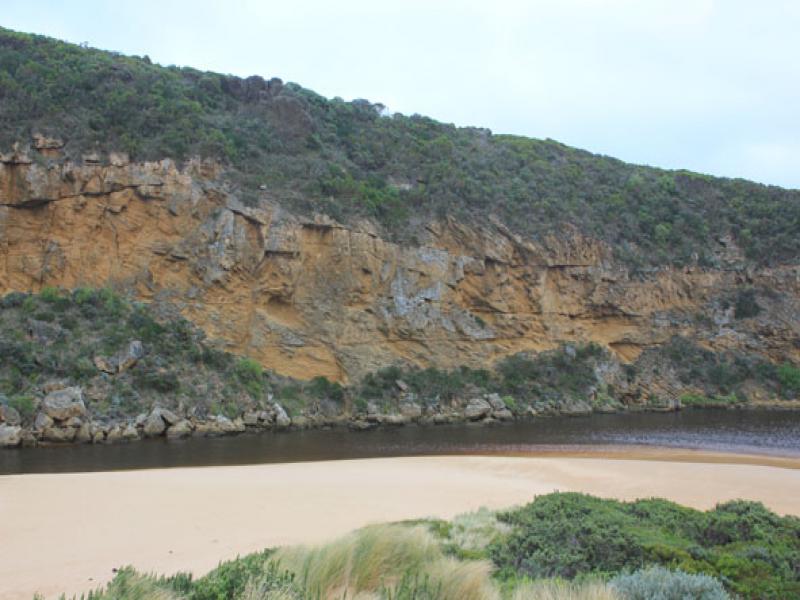
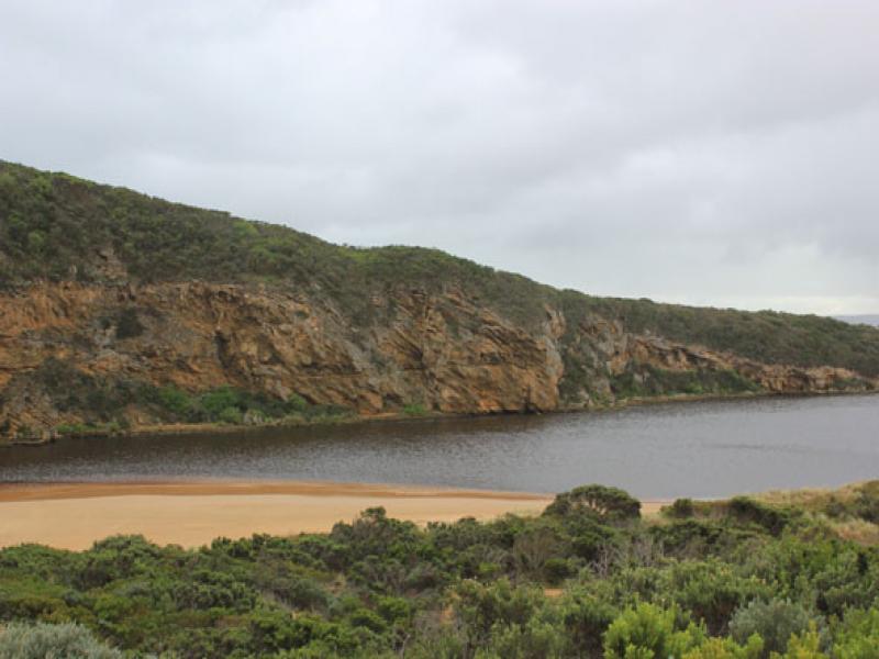
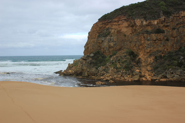
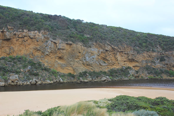
1. Mouth opened mid day 03/05/12
2.Waves entering estuary & swirling around rocks.
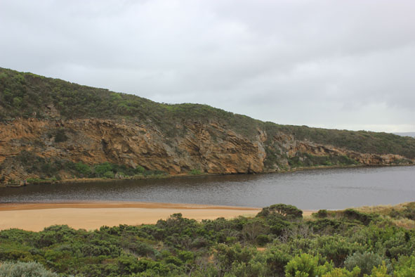
3.Mouth about 20m wide. Sheer channel banks from 2m at start to about 1m downstream rocks
4.Waves in all directions. Longshore drift colliding with incoming sw swell
5.Waves up to dunes at east end of beach but not near sand build up at mouth
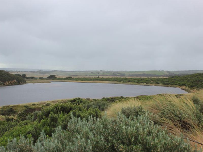
6.Water receeded in estuary -lots of dark brown rotting vegetation left along east side
Mouth Observation
| Mouth state | Open |
|---|---|
| Previous | O O O O O O O O O O O O O O O O O O O O O O O O O O O O O O O O O O O O O C O O O C O O O O O P P P C O P |
| Flow Present? | Yes |
| Previous | Y Y Y Y Y Y Y Y Y Y Y Y Y Y Y Y Y Y Y Y Y Y Y Y Y Y Y Y Y Y Y Y Y Y Y Y Y N Y Y Y N Y Y Y Y Y Y N N N Y N |
| Flow Direction | In |
| Previous | I O I O I O I O O O O O O O O O O O O O O O O O O O O O O O O O O O O N O O O N O O O O O I N N N I N |
| Above Sea | Above Estuary | |
|---|---|---|
| Berm Height (m) | ||
| Berm Length (m) |
Physical Condition
| Current | Mode | |
|---|---|---|
| Wind Direction | South | |
| Beaufort Scale | Strong breeze | |
| Sea State | Rough |


All content, files, data and images provided by the EstuaryWatch Data Portal and Gallery are subject to a Creative Commons Attribution License
Content is made available to be used in any way, and should always attribute EstuaryWatch and www.estuarywatch.org.au