EstuaryWatch Data Portal
GMC Gellibrand River Estuary Mouth Observation Site
12 May 2012
Observation details
Overview
| Estuary | Gellibrand River Estuary |
|---|---|
| Site | Gellibrand River Estuary Mouth Observation Site |
| Observation ID | #7129 |
| Date and Time | Saturday 12th May 2012 13:00pm |
| Approved | Approved |
Notes
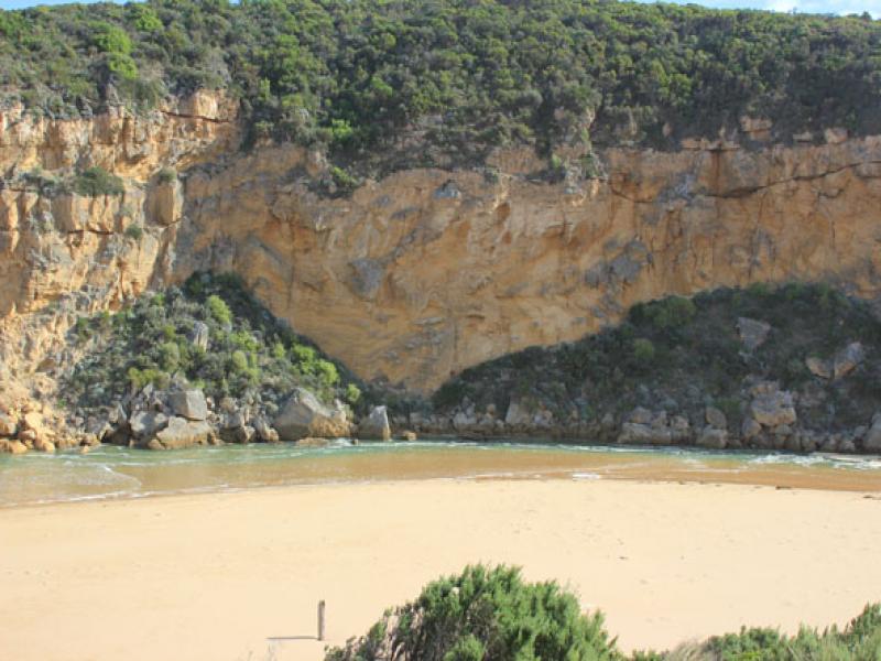
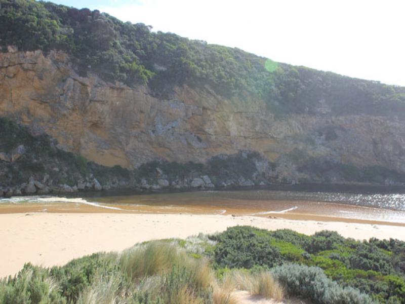
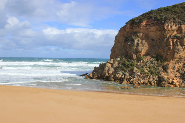
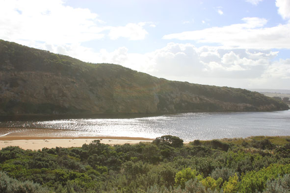
1.Rough sea with waves entering estuary. Salt water visiable moving back & forth almost to tunnel
2.Waves in all directions at mouth,entering to a width of about 30m.
3.Waves impacting on sand build up east of mouth & carrying sand into channel. Sand build up around rocks is decreasing width of channel (about 5m.)
4.Waves along shore from east to west coliding with s.w. swell
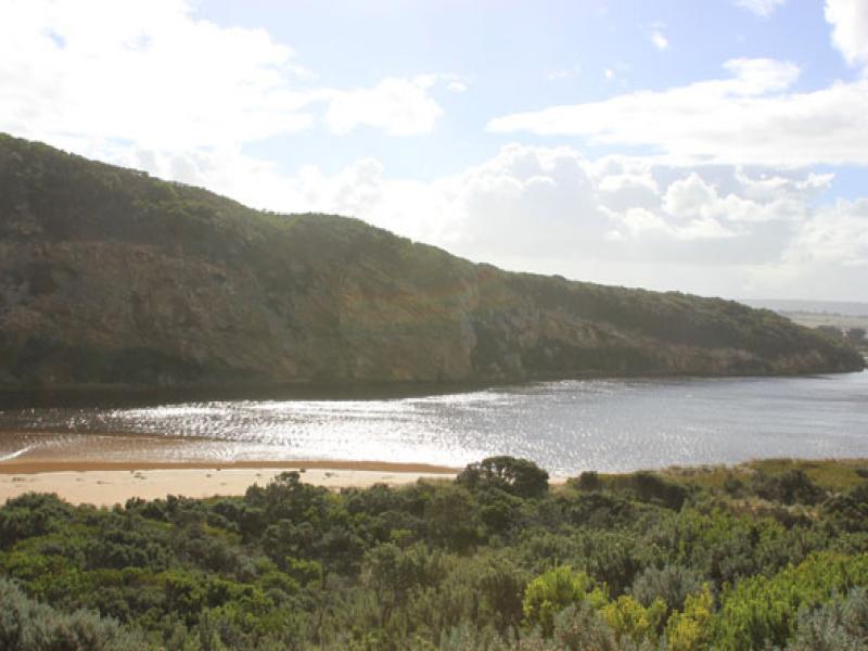
5.Water high on e.side of estuary
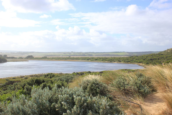
Mouth Observation
| Mouth state | Open |
|---|---|
| Previous | O O O O O O O O O O O O O O O O O O O O O O O O O O O O O O O O O O O O C O O O C O O O O O P P P C O P O |
| Flow Present? | Yes |
| Previous | Y Y Y Y Y Y Y Y Y Y Y Y Y Y Y Y Y Y Y Y Y Y Y Y Y Y Y Y Y Y Y Y Y Y Y Y N Y Y Y N Y Y Y Y Y Y N N N Y N Y |
| Flow Direction | In |
| Previous | O I O I O I O O O O O O O O O O O O O O O O O O O O O O O O O O O O N O O O N O O O O O I N N N I N I |
| Above Sea | Above Estuary | |
|---|---|---|
| Berm Height (m) | ||
| Berm Length (m) |
Physical Condition
| Current | Mode | |
|---|---|---|
| Wind Direction | South | |
| Beaufort Scale | Strong breeze | |
| Sea State | Rough |


All content, files, data and images provided by the EstuaryWatch Data Portal and Gallery are subject to a Creative Commons Attribution License
Content is made available to be used in any way, and should always attribute EstuaryWatch and www.estuarywatch.org.au