EstuaryWatch Data Portal
GMC Gellibrand River Estuary Mouth Observation Site
18 May 2012
Observation details
Overview
| Estuary | Gellibrand River Estuary |
|---|---|
| Site | Gellibrand River Estuary Mouth Observation Site |
| Observation ID | #7143 |
| Date and Time | Friday 18th May 2012 09:05am |
| Approved | Approved |
Notes
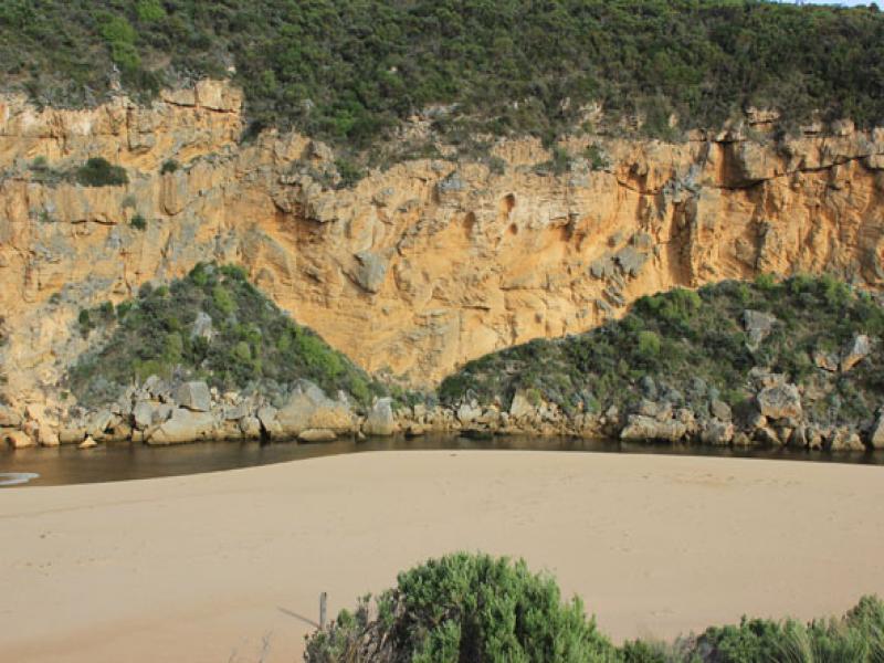
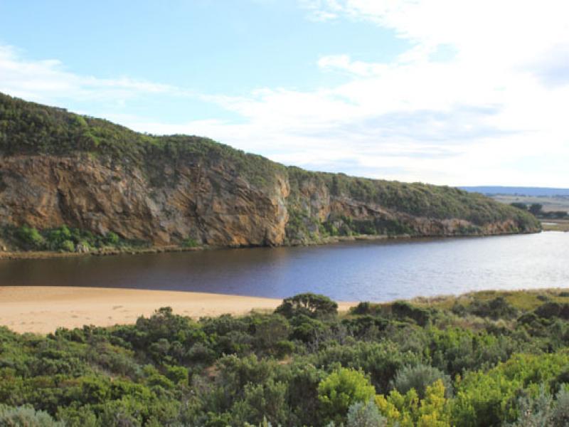
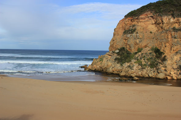
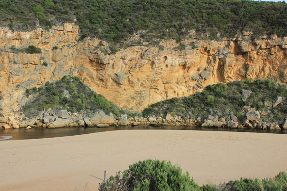
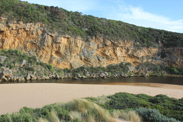
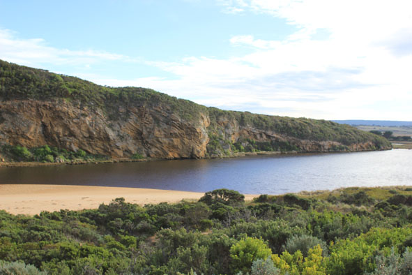
1. Some flow out but waves entering channel - darker discharge only around mouth(shoreline)
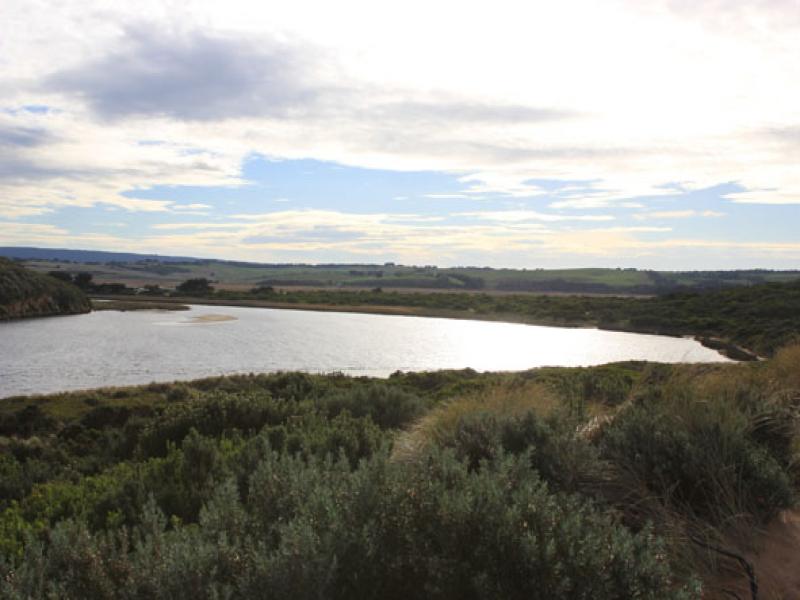
2.Only small amount of flow from upstream
3.Sand build up increased around mouth & rocks.
4. Steep bank to channel (30cm at start up to about 80cm near mouth)
5.High sand east of mouth being eroded by waves - travelling back toward mouth
6. Beach - undulating terraine -highest near mouth
7.Sandbar in estuary exposed but water covering area of low track
Mouth Observation
| Mouth state | Open |
|---|---|
| Previous | O O O O O O O O O O O O O O O O O O O O O O O O O O O O O O O O O O O C O O O C O O O O O P P P C O P O O |
| Flow Present? | Yes |
| Previous | Y Y Y Y Y Y Y Y Y Y Y Y Y Y Y Y Y Y Y Y Y Y Y Y Y Y Y Y Y Y Y Y Y Y Y N Y Y Y N Y Y Y Y Y Y N N N Y N Y Y |
| Flow Direction | Out |
| Previous | I O I O I O O O O O O O O O O O O O O O O O O O O O O O O O O O O N O O O N O O O O O I N N N I N I I |
| Above Sea | Above Estuary | |
|---|---|---|
| Berm Height (m) | ||
| Berm Length (m) |
Physical Condition
| Current | Mode | |
|---|---|---|
| Wind Direction | North | |
| Beaufort Scale | Fresh breeze | |
| Sea State | Moderate |


All content, files, data and images provided by the EstuaryWatch Data Portal and Gallery are subject to a Creative Commons Attribution License
Content is made available to be used in any way, and should always attribute EstuaryWatch and www.estuarywatch.org.au