EstuaryWatch Data Portal
GMC Gellibrand River Estuary Mouth Observation Site
1 June 2012
Observation details
Overview
| Estuary | Gellibrand River Estuary |
|---|---|
| Site | Gellibrand River Estuary Mouth Observation Site |
| Observation ID | #7201 |
| Date and Time | Friday 1st June 2012 10:00am |
| Approved | Approved |
Notes
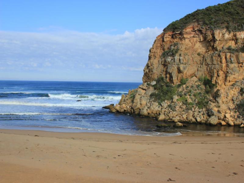
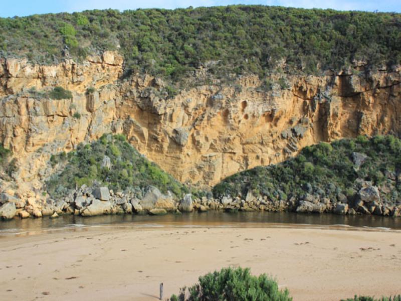
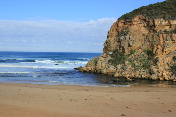
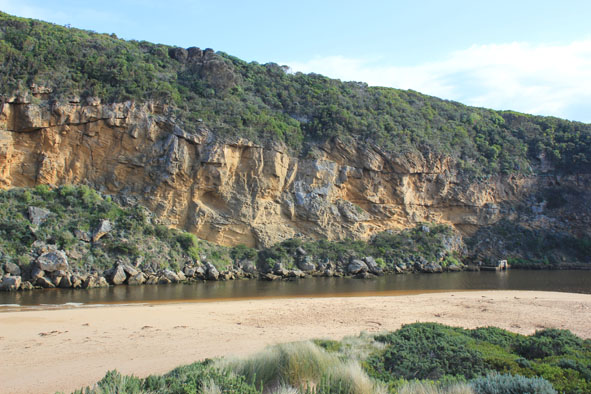
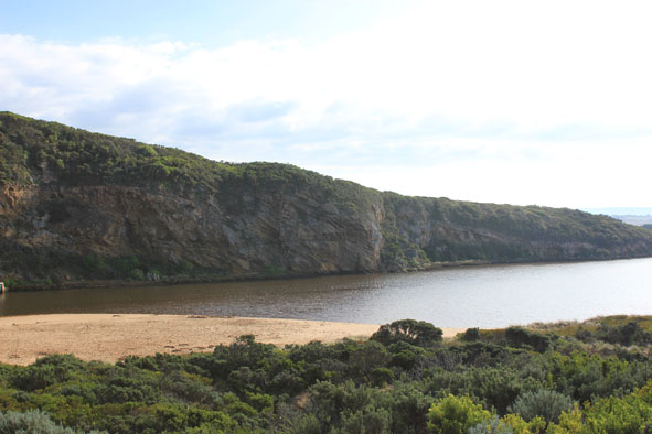
1.Strong out flow, actual channel upstream of rocks only about 5-6m. wide. Water flowing both sides of rocks
2.Dark discharge around mouth
3. Waves travelling from east along shore to mouth then entering estuary
4.Beach has been leveled out - gradual slope to sea
5.Steep front to sand in area toward mouth, highest point now1/3rd. away from mouth, sand has been reduced in height near mouth
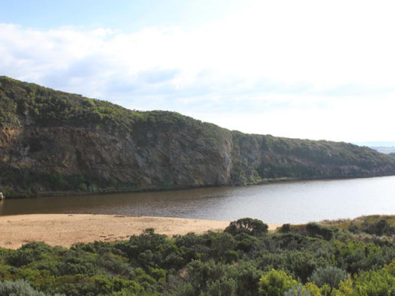
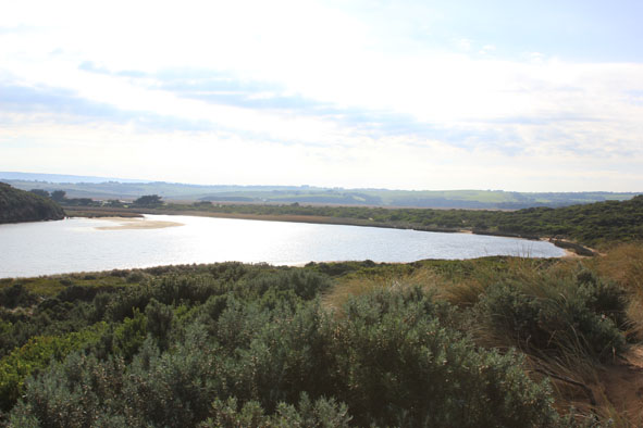
6.Sand bar exposed in estuary
Mouth Observation
| Mouth state | Open |
|---|---|
| Previous | O O O O O O O O O O O O O O O O O O O O O O O O O O O O O O O O O C O O O C O O O O O P P P C O P O O O P |
| Flow Present? | Yes |
| Previous | Y Y Y Y Y Y Y Y Y Y Y Y Y Y Y Y Y Y Y Y Y Y Y Y Y Y Y Y Y Y Y Y Y N Y Y Y N Y Y Y Y Y Y N N N Y N Y Y Y Y |
| Flow Direction | Out |
| Previous | I O I O O O O O O O O O O O O O O O O O O O O O O O O O O O O N O O O N O O O O O I N N N I N I I O I |
| Above Sea | Above Estuary | |
|---|---|---|
| Berm Height (m) | ||
| Berm Length (m) |
Physical Condition
| Current | Mode | |
|---|---|---|
| Wind Direction | North | |
| Beaufort Scale | Gentle breeze | |
| Sea State | Moderate |


All content, files, data and images provided by the EstuaryWatch Data Portal and Gallery are subject to a Creative Commons Attribution License
Content is made available to be used in any way, and should always attribute EstuaryWatch and www.estuarywatch.org.au