EstuaryWatch Data Portal
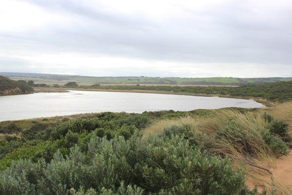
GMC Gellibrand River Estuary Mouth Observation Site
8 June 2012
Observation details
Overview
| Estuary | Gellibrand River Estuary |
|---|---|
| Site | Gellibrand River Estuary Mouth Observation Site |
| Observation ID | #7221 |
| Date and Time | Friday 8th June 2012 10:40am |
| Approved | Approved |
Notes
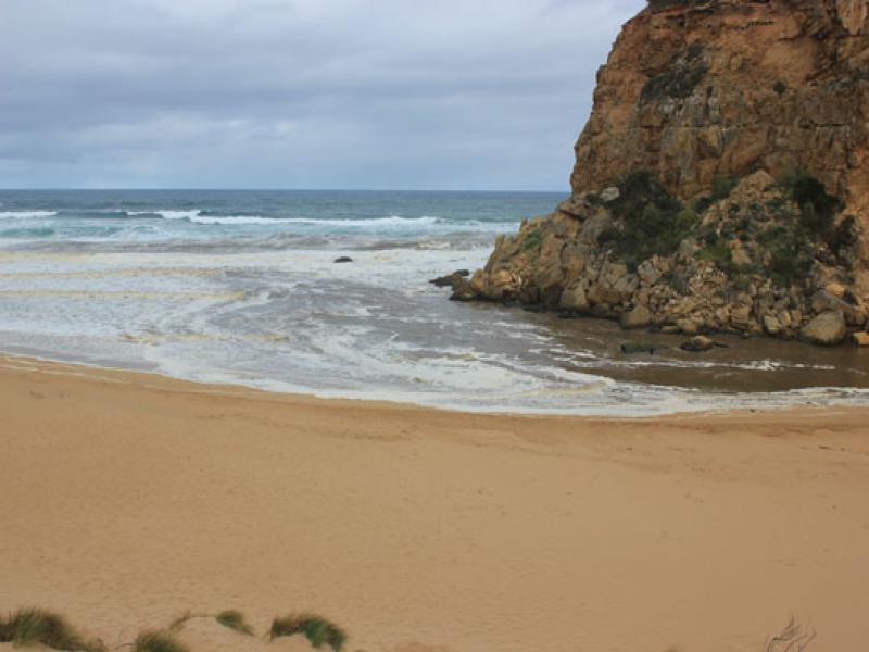
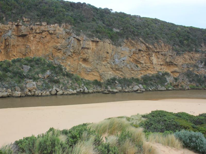
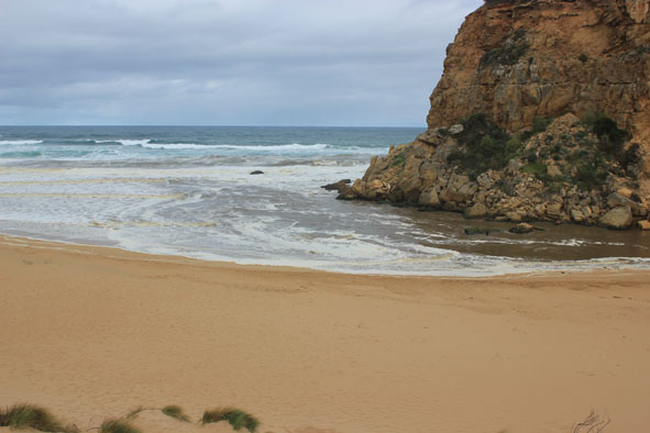
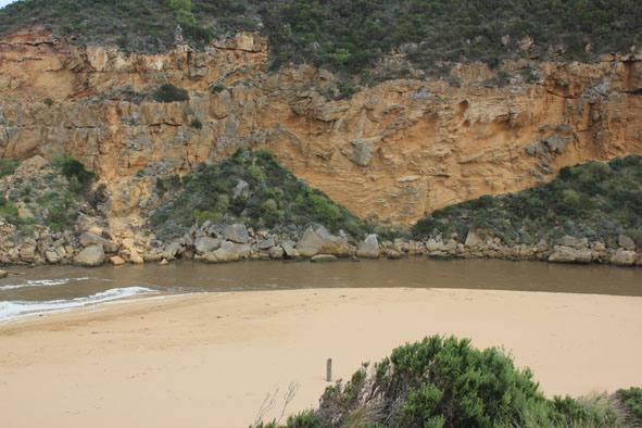
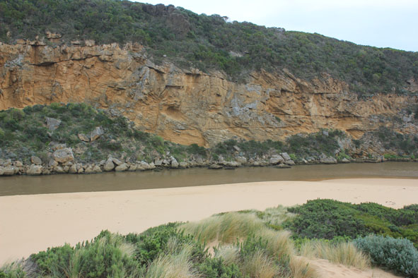
1.Strong outflow from recent rainfall, dark discharge around mouth, along shore to east & along cliffs to west
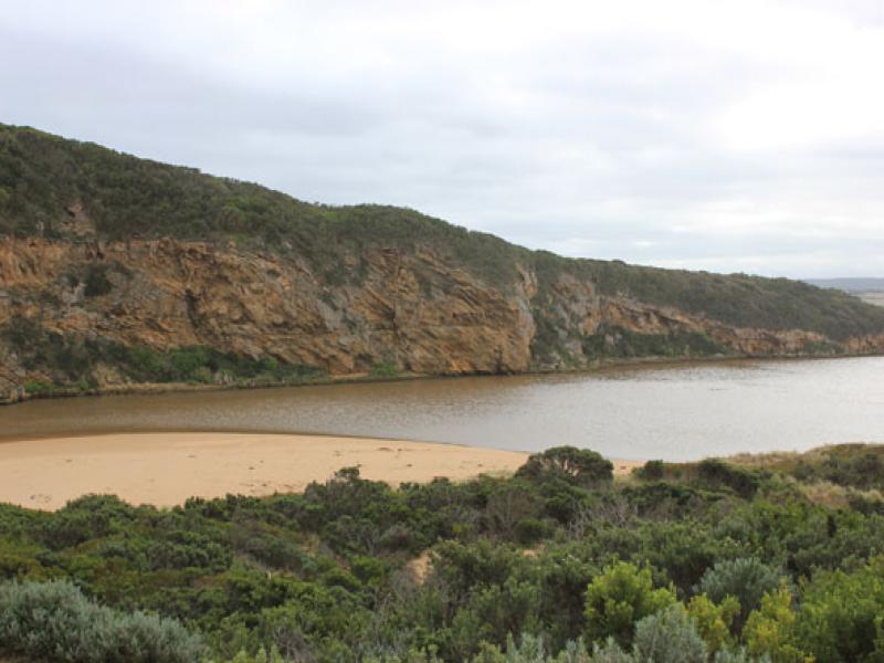
2.Recent increase of flow since 06/06/12. Steep sides to channel (1.- 1.5m) near mouth. Dark silt & brown foam all along beach
3. Water cascading aroung rocks, flow on both sides
4.Waves in all directions at mouth -longshore drift bringing back more sand to mouth
5.Strong wave surges entering channel then swinging east into estuary . Water 'pulsing' upstream past G2
Mouth Observation
| Mouth state | Open |
|---|---|
| Previous | O O O O O O O O O O O O O O O O O O O O O O O O O O O O O O O O C O O O C O O O O O P P P C O P O O O P O |
| Flow Present? | Yes |
| Previous | Y Y Y Y Y Y Y Y Y Y Y Y Y Y Y Y Y Y Y Y Y Y Y Y Y Y Y Y Y Y Y Y N Y Y Y N Y Y Y Y Y Y N N N Y N Y Y Y Y Y |
| Flow Direction | Out |
| Previous | O I O O O O O O O O O O O O O O O O O O O O O O O O O O O O N O O O N O O O O O I N N N I N I I O I O |
| Above Sea | Above Estuary | |
|---|---|---|
| Berm Height (m) | ||
| Berm Length (m) |
Physical Condition
| Current | Mode | |
|---|---|---|
| Wind Direction | South | |
| Beaufort Scale | Moderate breeze | |
| Sea State | Rough |


All content, files, data and images provided by the EstuaryWatch Data Portal and Gallery are subject to a Creative Commons Attribution License
Content is made available to be used in any way, and should always attribute EstuaryWatch and www.estuarywatch.org.au