EstuaryWatch Data Portal
Observation details
Overview
| Estuary | Barham River Estuary |
|---|---|
| Site | Barham River Observation Site |
| Observation ID | #7204 |
| Date and Time | Tuesday 5th June 2012 12:00pm |
| Approved | Approved |
Notes
Air Pressure 1018.6 hPa, rainfall last 48 hrs 47.8mm
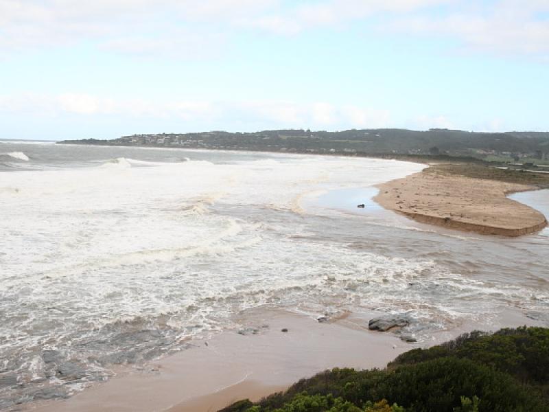
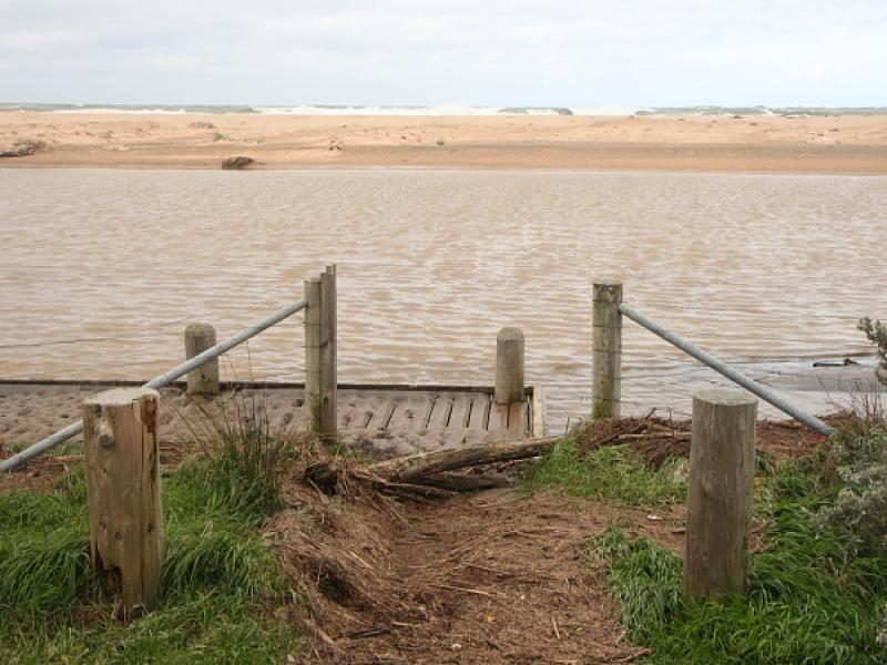
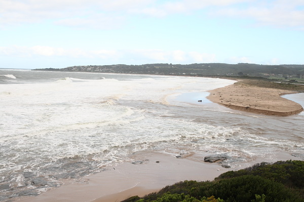
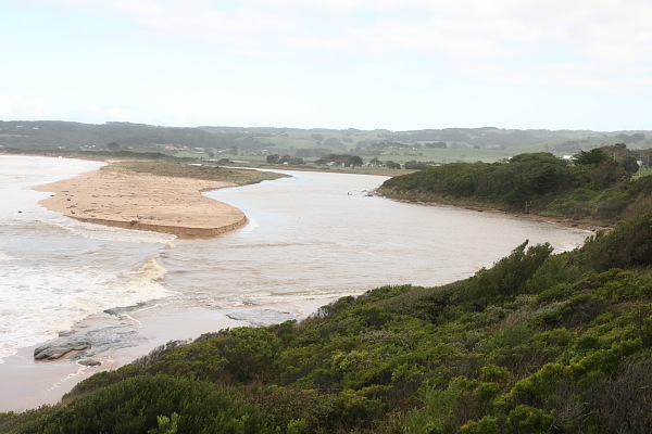
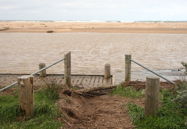
Intense storm on 04/06/12. Rack line shows river height at peak of flood greater than 1.28m. Large waves breaking over berm opposite fishing platform. Mouth is wide, storm waves battering edge of berm, greatly modifying its structure. Wave surge at HT is impeding the outward flow of flood waters.
Mouth Observation
| Mouth state | Open |
|---|---|
| Previous | O O O O O O O C C O O |
| Flow Present? | Yes |
| Previous | Y Y Y Y Y Y Y N N Y Y |
| Flow Direction | Out |
| Previous | O I O I O O I N N O O |
| Above Sea | Above Estuary | |
|---|---|---|
| Berm Height (m) | ||
| Berm Length (m) |
Physical Condition
| Current | Mode | |
|---|---|---|
| Wind Direction | South-East | North |
| Beaufort Scale | Moderate breeze | Fresh breeze |
| Sea State | High |


All content, files, data and images provided by the EstuaryWatch Data Portal and Gallery are subject to a Creative Commons Attribution License
Content is made available to be used in any way, and should always attribute EstuaryWatch and www.estuarywatch.org.au