EstuaryWatch Data Portal
GMC Gellibrand River Estuary Mouth Observation Site
20 July 2012
Observation details
Overview
| Estuary | Gellibrand River Estuary |
|---|---|
| Site | Gellibrand River Estuary Mouth Observation Site |
| Observation ID | #7463 |
| Date and Time | Friday 20th July 2012 10:20am |
| Approved | Approved |
Notes
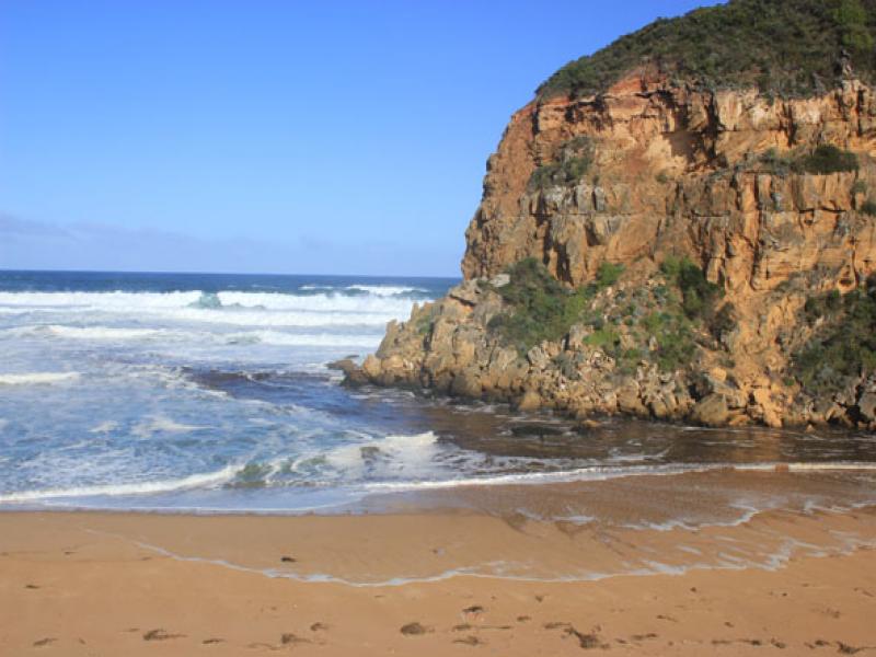
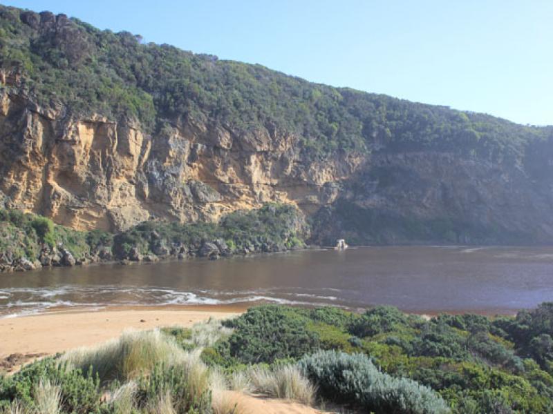
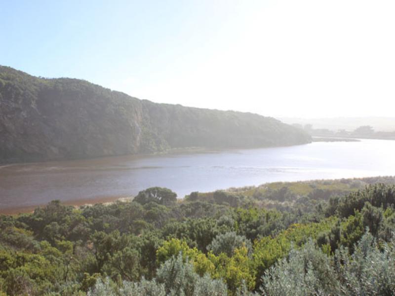
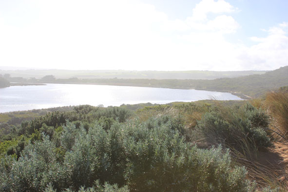
1.Dark discharge out around mouth, salt water entering estuary along east side of channel.
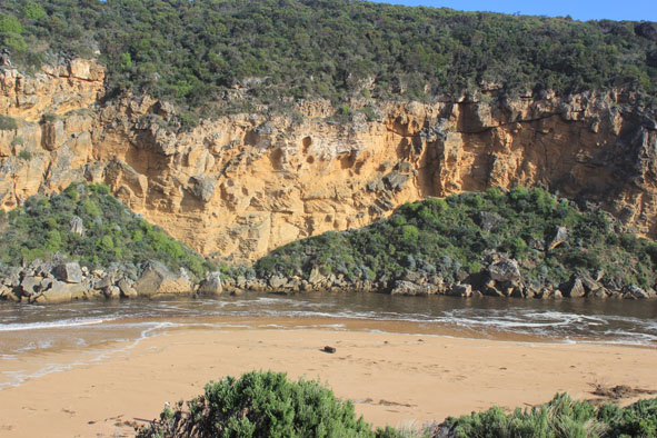
2.Waves over rocks at entrance
3.Beach wide with gradual slope -Waves close to dunes along east side of channel
4.Waves travelling from mouth to north but also swinging east and impacting on south & east sides of estuary
Mouth Observation
| Mouth state | Open |
|---|---|
| Previous | O O O O O O O O O O O O O O O O O O O O O O O O O O C O O O C O O O O O P P P C O P O O O P O O O O O O |
| Flow Present? | Yes |
| Previous | Y Y Y Y Y Y Y Y Y Y Y Y Y Y Y Y Y Y Y Y Y Y Y Y Y Y N Y Y Y N Y Y Y Y Y Y N N N Y N Y Y Y Y Y Y Y Y Y Y |
| Flow Direction | Out |
| Previous | O O O O O O O O O O O O O O O O O O O O O O O O N O O O N O O O O O I N N N I N I I O I O O O O O O |
| Above Sea | Above Estuary | |
|---|---|---|
| Berm Height (m) | ||
| Berm Length (m) |
Physical Condition
| Current | Mode | |
|---|---|---|
| Wind Direction | South | |
| Beaufort Scale | Gentle breeze | |
| Sea State | Rough |


All content, files, data and images provided by the EstuaryWatch Data Portal and Gallery are subject to a Creative Commons Attribution License
Content is made available to be used in any way, and should always attribute EstuaryWatch and www.estuarywatch.org.au