EstuaryWatch Data Portal
GMC Gellibrand River Estuary Mouth Observation Site
4 August 2012
Observation details
Overview
| Estuary | Gellibrand River Estuary |
|---|---|
| Site | Gellibrand River Estuary Mouth Observation Site |
| Observation ID | #7541 |
| Date and Time | Saturday 4th August 2012 09:50am |
| Approved | Approved |
Notes
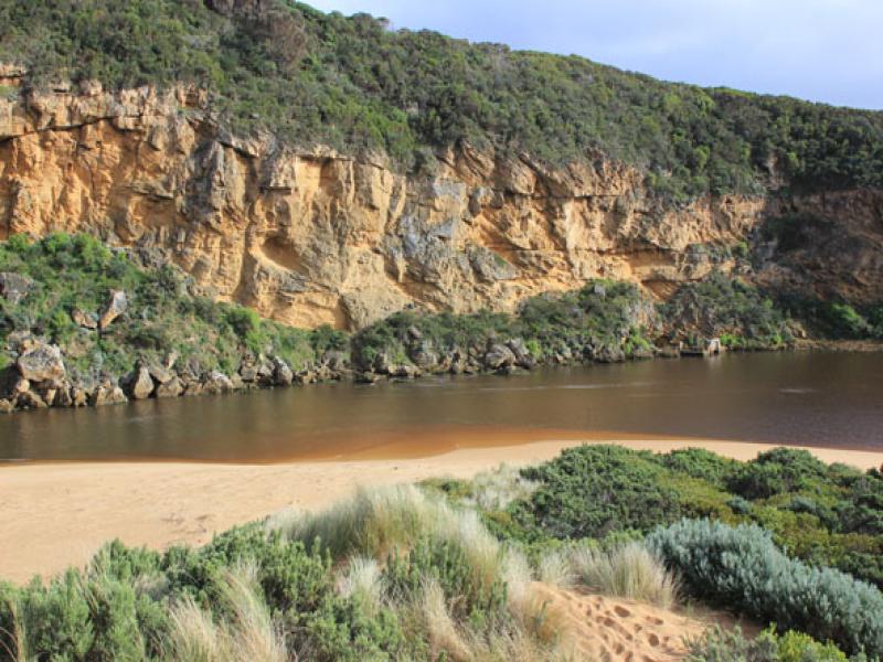
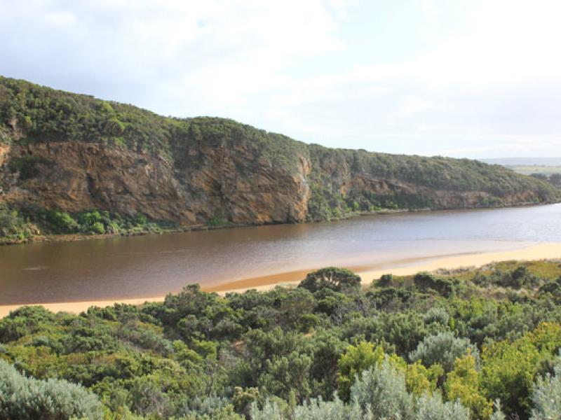
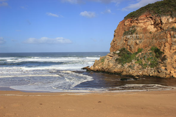
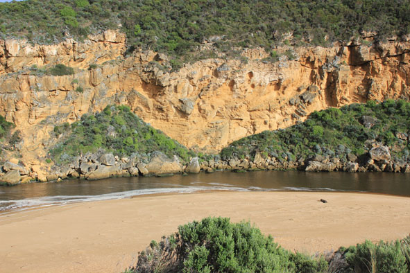
1. Dark discharge out only around mouth
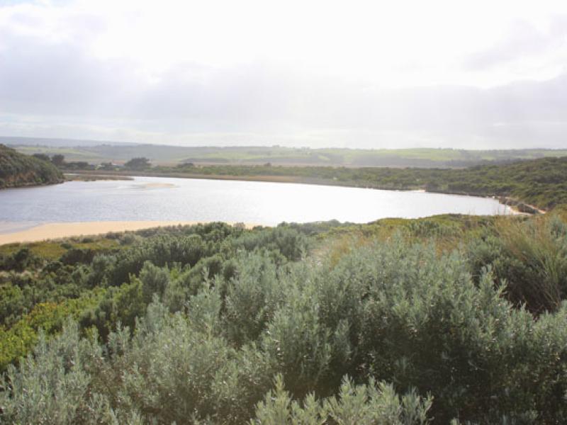
2.Entrance wide but narrows just upstream of rocks then widens into estuary
3.Waves entering estuary -sandbar exposed.
4.Beach wide & slopping curving in toward dunes at east end
5. Height of sand near entrance has been lowered. Sand has been shifted into channel near rocks. Highest part of beach is now midway.
Mouth Observation
| Mouth state | Open |
|---|---|
| Previous | O O O O O O O O O O O O O O O O O O O O O O O O C O O O C O O O O O P P P C O P O O O P O O O O O O O O |
| Flow Present? | Yes |
| Previous | Y Y Y Y Y Y Y Y Y Y Y Y Y Y Y Y Y Y Y Y Y Y Y Y N Y Y Y N Y Y Y Y Y Y N N N Y N Y Y Y Y Y Y Y Y Y Y Y Y |
| Flow Direction | Out |
| Previous | O O O O O O O O O O O O O O O O O O O O O O N O O O N O O O O O I N N N I N I I O I O O O O O O O O |
| Above Sea | Above Estuary | |
|---|---|---|
| Berm Height (m) | ||
| Berm Length (m) |
Physical Condition
| Current | Mode | |
|---|---|---|
| Wind Direction | North-West | |
| Beaufort Scale | Gentle breeze | |
| Sea State | Rough |


All content, files, data and images provided by the EstuaryWatch Data Portal and Gallery are subject to a Creative Commons Attribution License
Content is made available to be used in any way, and should always attribute EstuaryWatch and www.estuarywatch.org.au