EstuaryWatch Data Portal
GMC Gellibrand River Estuary Mouth Observation Site
10 August 2012
Observation details
Overview
| Estuary | Gellibrand River Estuary |
|---|---|
| Site | Gellibrand River Estuary Mouth Observation Site |
| Observation ID | #7564 |
| Date and Time | Friday 10th August 2012 09:45am |
| Approved | Approved |
Notes
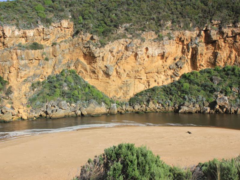
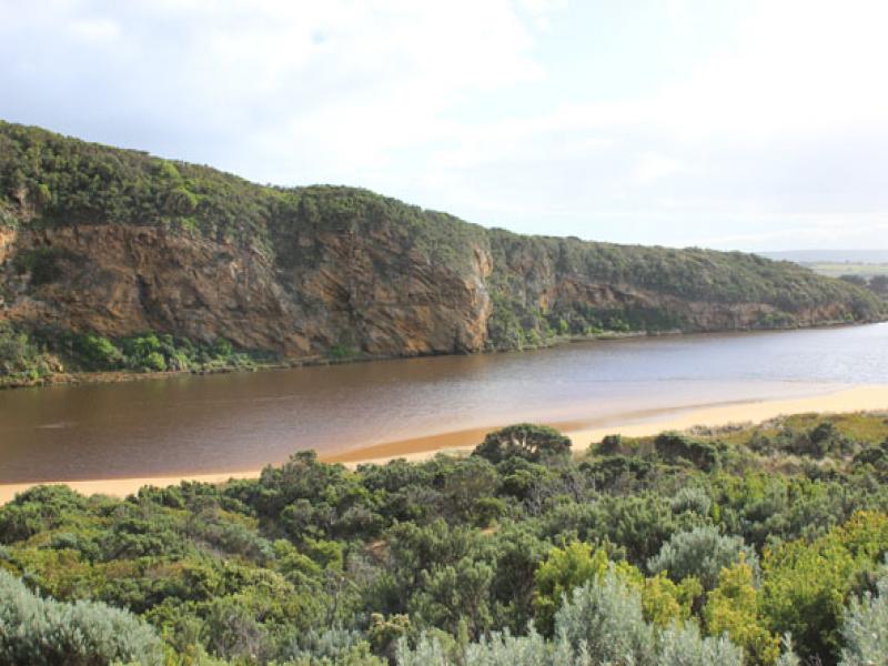
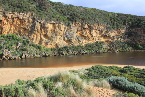
1. Very dark discharge out around mouth and only to west.
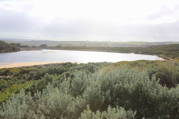
2.Waves in all directions at mouth and entering estuary. Small wave surge noted at G2.
3. South side of estuary now has wide beach area infront of reduced dunes.
4.Ocean beach wide & sloping, signs of water up to base of dunes, large saw log has moved further to west (resulting from storm 09/08/12)
Mouth Observation
| Mouth state | Open |
|---|---|
| Previous | O O O O O O O O O O O O O O O O O O O O O O O C O O O C O O O O O P P P C O P O O O P O O O O O O O O O |
| Flow Present? | Yes |
| Previous | Y Y Y Y Y Y Y Y Y Y Y Y Y Y Y Y Y Y Y Y Y Y Y N Y Y Y N Y Y Y Y Y Y N N N Y N Y Y Y Y Y Y Y Y Y Y Y Y Y |
| Flow Direction | Out |
| Previous | O O O O O O O O O O O O O O O O O O O O O O N O O O N O O O O O I N N N I N I I O I O O O O O O O O O |
| Above Sea | Above Estuary | |
|---|---|---|
| Berm Height (m) | ||
| Berm Length (m) |
Physical Condition
| Current | Mode | |
|---|---|---|
| Wind Direction | South | |
| Beaufort Scale | Moderate breeze | |
| Sea State | Rough |


All content, files, data and images provided by the EstuaryWatch Data Portal and Gallery are subject to a Creative Commons Attribution License
Content is made available to be used in any way, and should always attribute EstuaryWatch and www.estuarywatch.org.au