EstuaryWatch Data Portal
GMC Gellibrand River Estuary Mouth Observation Site
18 August 2012
Observation details
Overview
| Estuary | Gellibrand River Estuary |
|---|---|
| Site | Gellibrand River Estuary Mouth Observation Site |
| Observation ID | #7601 |
| Date and Time | Saturday 18th August 2012 10:25am |
| Approved | Approved |
Notes
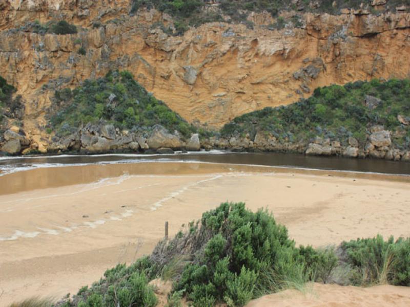
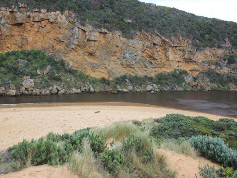
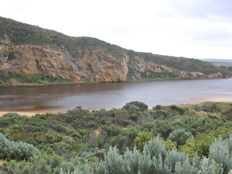
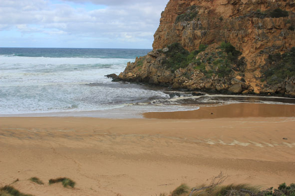
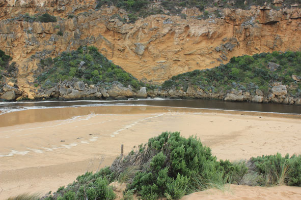
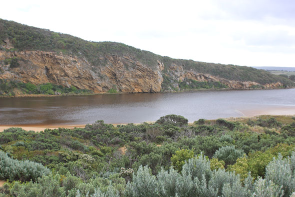
1. Flow out, but waves entering channel & continuing into estuary to north (across sand bar), also turning east & impacting on sand dunes & east side
2.Tide has been up to base of dunes on ocean beach, dark scum & debris along swash line also deep ripples in sand where longshore drift turns into channel
3.Sand higher with steep face 1.5m about 1/3 east of estuary on ocean beach
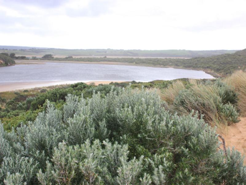
Mouth Observation
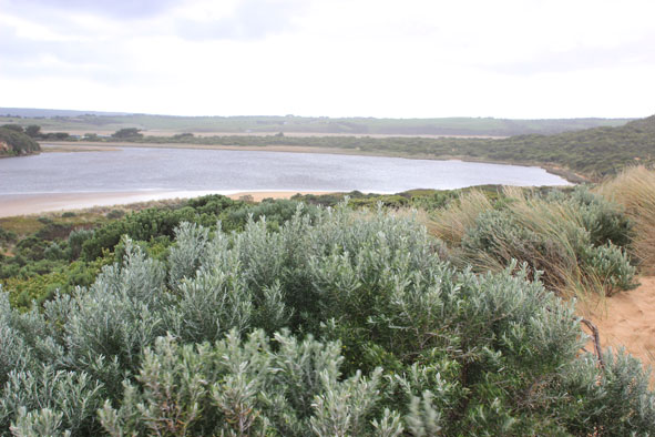
| Mouth state | Open |
|---|---|
| Previous | O O O O O O O O O O O O O O O O O O O O O O C O O O C O O O O O P P P C O P O O O P O O O O O O O O O O |
| Flow Present? | Yes |
| Previous | Y Y Y Y Y Y Y Y Y Y Y Y Y Y Y Y Y Y Y Y Y Y N Y Y Y N Y Y Y Y Y Y N N N Y N Y Y Y Y Y Y Y Y Y Y Y Y Y Y |
| Flow Direction | Out |
| Previous | O O O O O O O O O O O O O O O O O O O O O N O O O N O O O O O I N N N I N I I O I O O O O O O O O O O |
| Above Sea | Above Estuary | |
|---|---|---|
| Berm Height (m) | ||
| Berm Length (m) |
Physical Condition
| Current | Mode | |
|---|---|---|
| Wind Direction | South | |
| Beaufort Scale | Fresh breeze | |
| Sea State | Rough |


All content, files, data and images provided by the EstuaryWatch Data Portal and Gallery are subject to a Creative Commons Attribution License
Content is made available to be used in any way, and should always attribute EstuaryWatch and www.estuarywatch.org.au