EstuaryWatch Data Portal
GMC Gellibrand River Estuary Mouth Observation Site
24 August 2012
Observation details
Overview
| Estuary | Gellibrand River Estuary |
|---|---|
| Site | Gellibrand River Estuary Mouth Observation Site |
| Observation ID | #7663 |
| Date and Time | Friday 24th August 2012 11:13am |
| Approved | Approved |
Notes
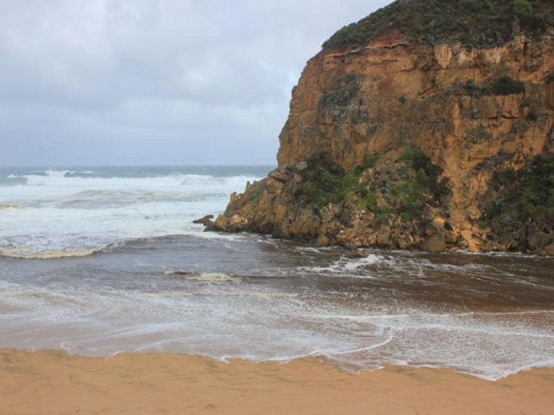
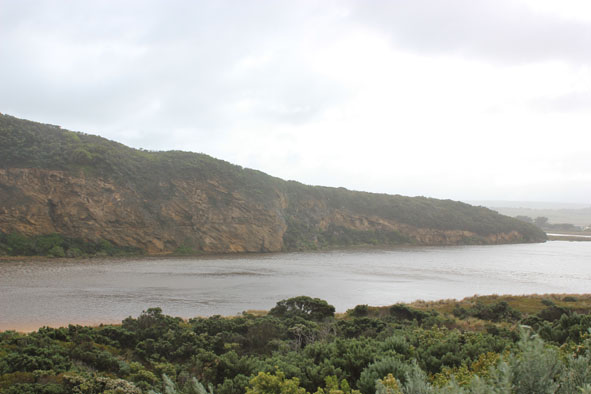
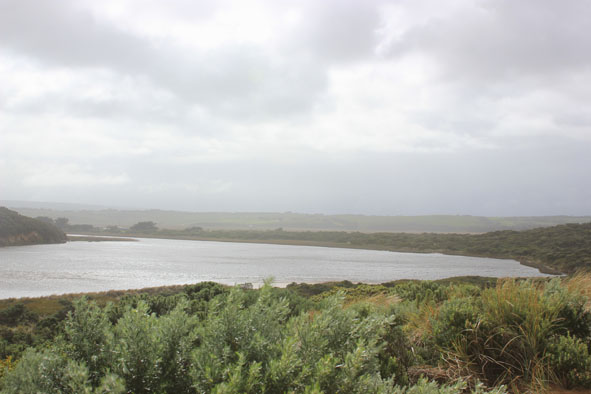
1. Dark discharge out around mouth & to east
2. Strong north wind from estuary turning waves back at mouth
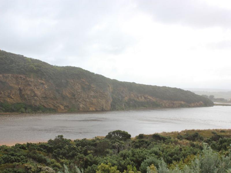
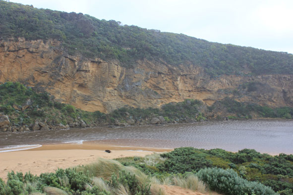
3.Wind is north along estuary channel but west at G2 & upstream where foam crested waves (50m+) are travelling along floodwaters from between G5 & G4 to Rowan's Gully
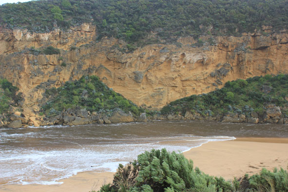
4.Waves are up on the dunes at mid & east end of ocean beach, they then travel back toward mouth turning and entering estuary, impacting on south & east sides.
5.Water high on low track
Mouth Observation
| Mouth state | Open |
|---|---|
| Previous | O O O O O O O O O O O O O O O O O O O O O C O O O C O O O O O P P P C O P O O O P O O O O O O O O O O O O |
| Flow Present? | Yes |
| Previous | Y Y Y Y Y Y Y Y Y Y Y Y Y Y Y Y Y Y Y Y Y N Y Y Y N Y Y Y Y Y Y N N N Y N Y Y Y Y Y Y Y Y Y Y Y Y Y Y Y Y |
| Flow Direction | Out |
| Previous | O O O O O O O O O O O O O O O O O O O O N O O O N O O O O O I N N N I N I I O I O O O O O O O O O O O O |
| Above Sea | Above Estuary | |
|---|---|---|
| Berm Height (m) | ||
| Berm Length (m) |
Physical Condition
| Current | Mode | |
|---|---|---|
| Wind Direction | North | |
| Beaufort Scale | High wind, moderate gale, near gale | |
| Sea State | Rough |


All content, files, data and images provided by the EstuaryWatch Data Portal and Gallery are subject to a Creative Commons Attribution License
Content is made available to be used in any way, and should always attribute EstuaryWatch and www.estuarywatch.org.au