EstuaryWatch Data Portal
GMC Gellibrand River Estuary Mouth Observation Site
22 September 2012
Observation details
Overview
| Estuary | Gellibrand River Estuary |
|---|---|
| Site | Gellibrand River Estuary Mouth Observation Site |
| Observation ID | #7773 |
| Date and Time | Saturday 22nd September 2012 10:10am |
| Approved | Approved |
Notes
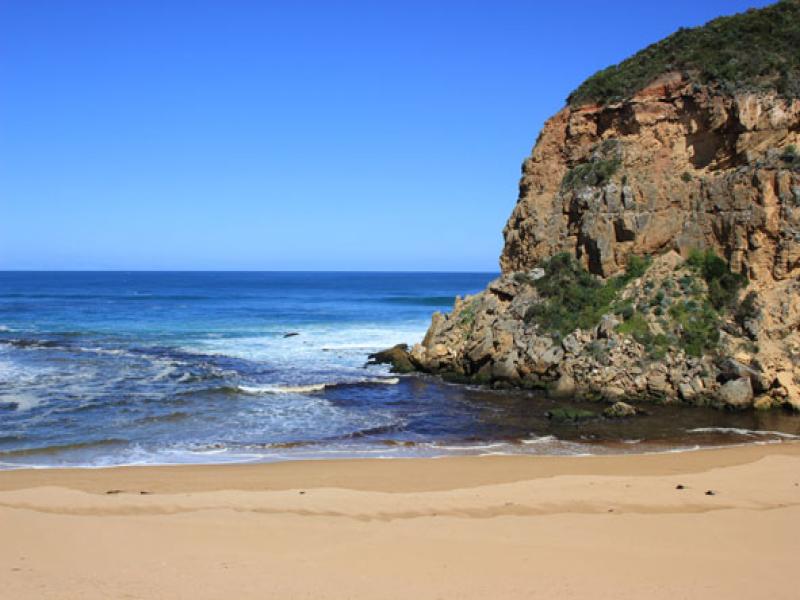
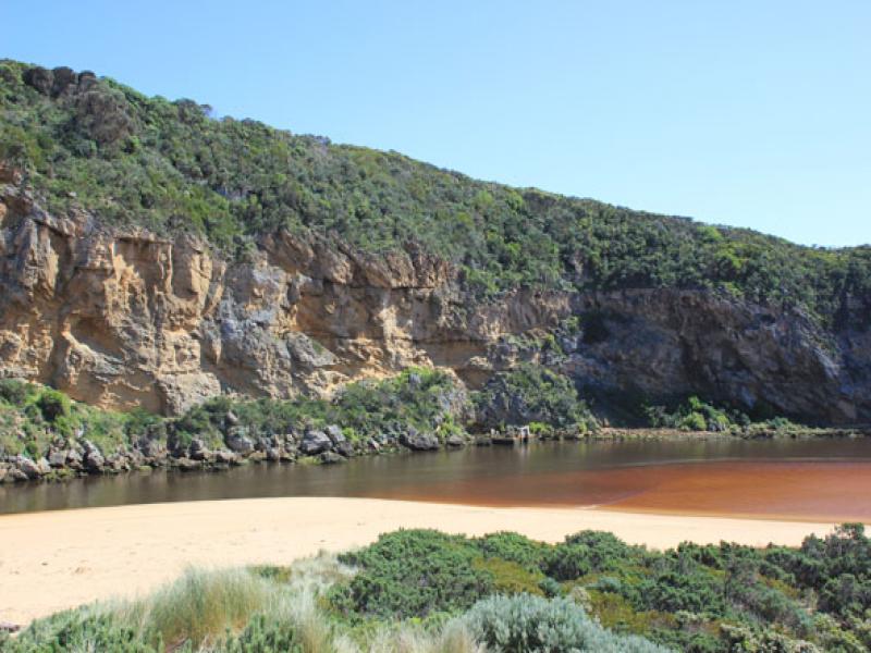
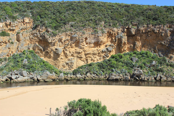
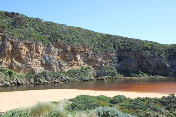
1.Dark discharge out around mouth & to east (between shore & sandbar)
2.Waves constantly entering channel & estuary
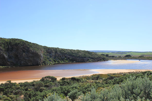
3.Sand cliffs ( to 3m. high) remain at mid ocean beach but east end leveling out. Sand has built up near mouth
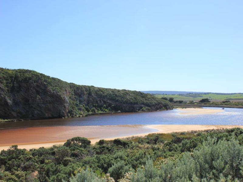
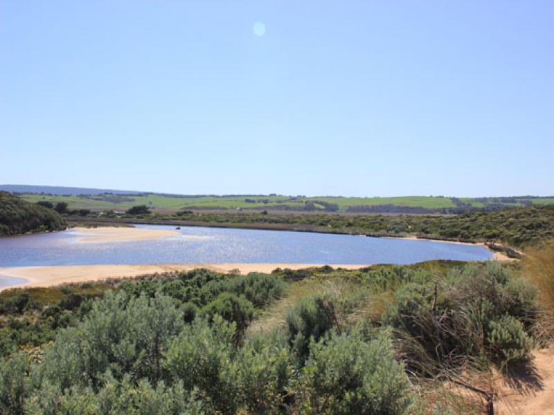
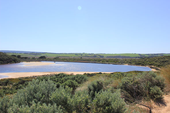
4.Sandbar exposed also large areas of sand on south & east sides of estuary
5. Sea grass is re establishing in shallow areas east side of estuary
5. Dead banded pigeon on ocean beach
Mouth Observation
| Mouth state | Open |
|---|---|
| Previous | O O O O O O O O O O O O O O O O C O O O C O O O O O P P P C O P O O O P O O O O O O O O O O O O O O O |
| Flow Present? | Yes |
| Previous | Y Y Y Y Y Y Y Y Y Y Y Y Y Y Y Y N Y Y Y N Y Y Y Y Y Y N N N Y N Y Y Y Y Y Y Y Y Y Y Y Y Y Y Y Y Y Y Y |
| Flow Direction | Out |
| Previous | O O O O O O O O O O O O O O O N O O O N O O O O O I N N N I N I I O I O O O O O O O O O O O O O O O |
| Above Sea | Above Estuary | |
|---|---|---|
| Berm Height (m) | ||
| Berm Length (m) |
Physical Condition
| Current | Mode | |
|---|---|---|
| Wind Direction | North | |
| Beaufort Scale | Moderate breeze | |
| Sea State | Moderate |


All content, files, data and images provided by the EstuaryWatch Data Portal and Gallery are subject to a Creative Commons Attribution License
Content is made available to be used in any way, and should always attribute EstuaryWatch and www.estuarywatch.org.au