EstuaryWatch Data Portal
GMC Gellibrand River Estuary Mouth Observation Site
21 December 2012
Observation details
Overview
| Estuary | Gellibrand River Estuary |
|---|---|
| Site | Gellibrand River Estuary Mouth Observation Site |
| Observation ID | #7972 |
| Date and Time | Friday 21st December 2012 08:35am |
| Approved | Approved |
Notes
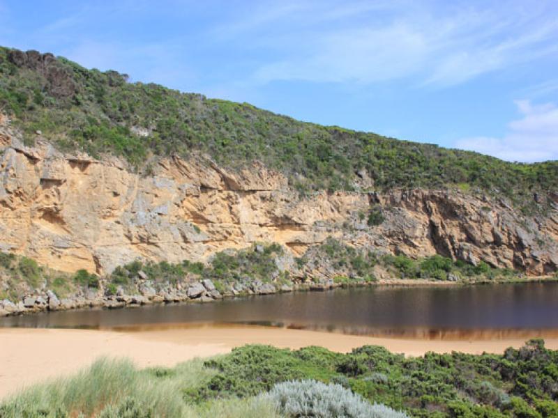
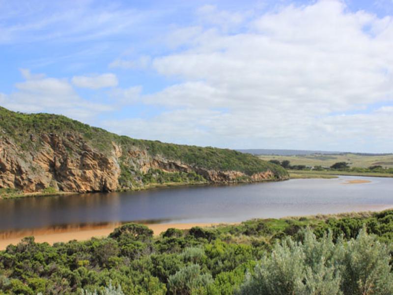
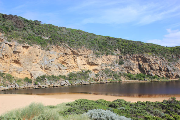
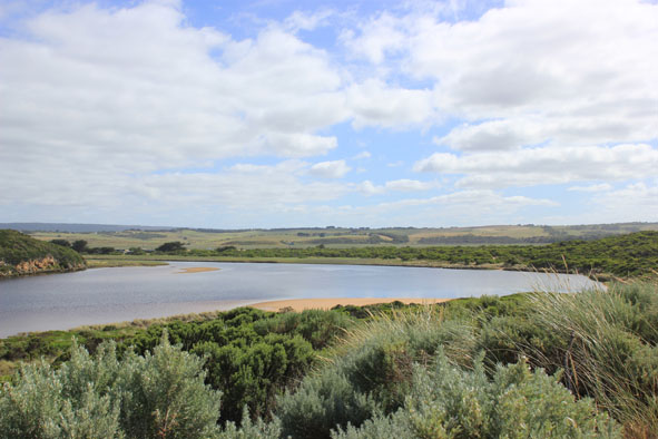
1. Narrow channel against cliff & between rocks flowing out strongly over shallow area
2.Dark discharge only around mouth
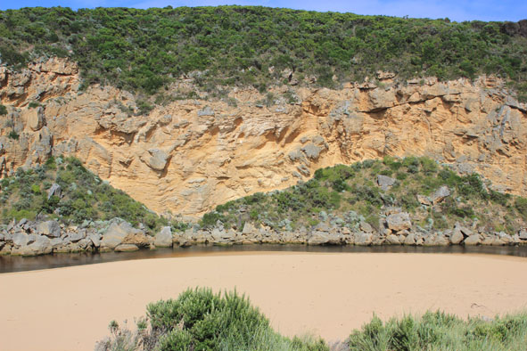
3. Strong long shore drift to mouth meeting out flow
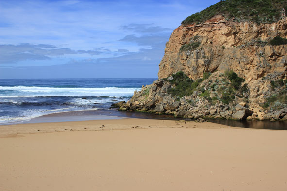
4.Ocean beach wide with gradual slope, hi tide up to base of recently created sand cliffs.
5.No sign of Hooded Plovers since beach has new formation
5.Caspian tern (1) & white egret in estuary, 6 Red Kneed Dotterels in north wetlands
Mouth Observation
| Mouth state | Open |
|---|---|
| Previous | O O O C O O O C O O O O O P P P C O P O O O P O O O O O O O O O O O O O O O O O O O O O O O O O O O |
| Flow Present? | Yes |
| Previous | Y Y Y N Y Y Y N Y Y Y Y Y Y N N N Y N Y Y Y Y Y Y Y Y Y Y Y Y Y Y Y Y Y Y Y Y Y Y Y Y Y Y Y Y Y Y Y |
| Flow Direction | Out |
| Previous | O O O N O O O N O O O O O I N N N I N I I O I O O O O O O O O O O O O O O O O O O O O O O O O O O O |
| Above Sea | Above Estuary | |
|---|---|---|
| Berm Height (m) | ||
| Berm Length (m) |
Physical Condition
| Current | Mode | |
|---|---|---|
| Wind Direction | South | |
| Beaufort Scale | Light Breeze | |
| Sea State | Moderate |


All content, files, data and images provided by the EstuaryWatch Data Portal and Gallery are subject to a Creative Commons Attribution License
Content is made available to be used in any way, and should always attribute EstuaryWatch and www.estuarywatch.org.au