EstuaryWatch Data Portal
GMC Gellibrand River Estuary Mouth Observation Site
14 December 2012
Observation details
Overview
| Estuary | Gellibrand River Estuary |
|---|---|
| Site | Gellibrand River Estuary Mouth Observation Site |
| Observation ID | #7968 |
| Date and Time | Friday 14th December 2012 10:40am |
| Approved | Approved |
Notes
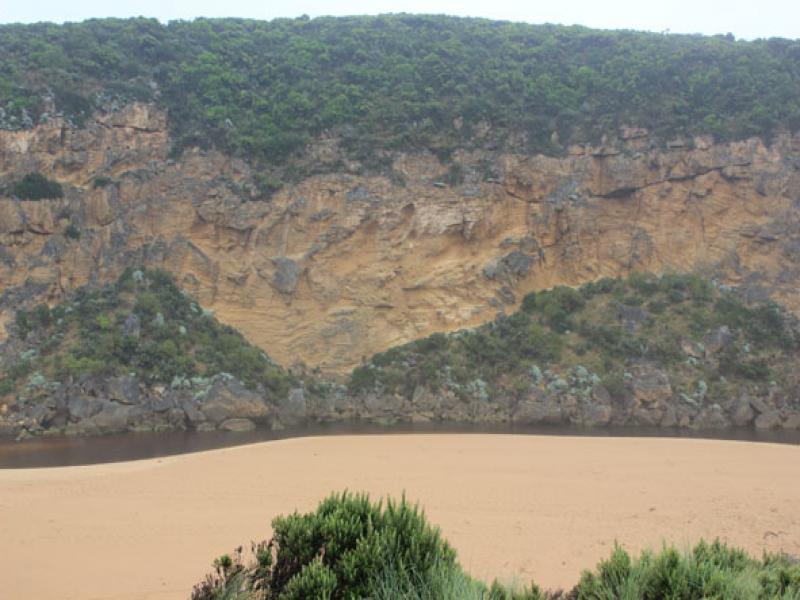
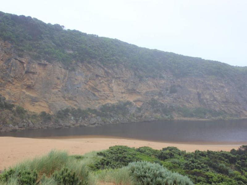
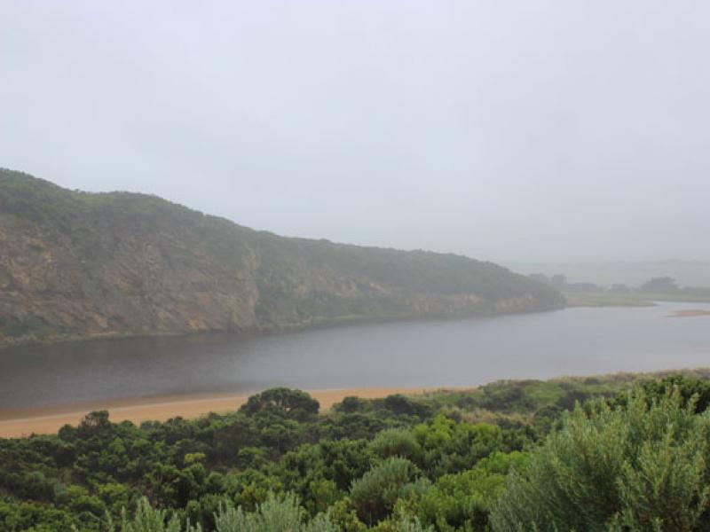
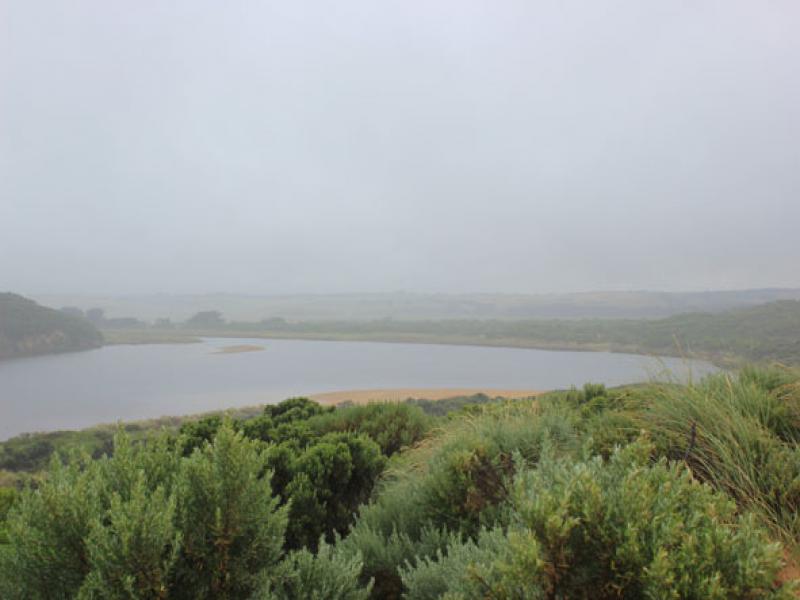
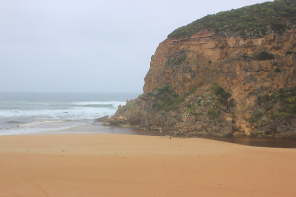
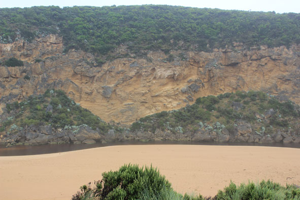
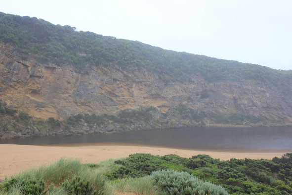
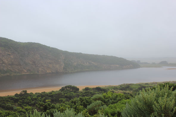
1. 1.Mouth shallow with only narrow deeper channel near cliff
2.Area directly upstream rocks has widened since 13/12/12
3.Last hi tide well up to dunes & continuing strong longshore drift still bringing sand to mouth (area increased)
4. Debris mid estuary has moved further upstream
5.Large amount of small green seaweed along swashline in estuary
6.Pelican on exposed sand bar
Mouth Observation
| Mouth state | Open |
|---|---|
| Previous | O O O O C O O O C O O O O O P P P C O P O O O P O O O O O O O O O O O O O O O O O O O O O O O O O O |
| Flow Present? | Yes |
| Previous | Y Y Y Y N Y Y Y N Y Y Y Y Y Y N N N Y N Y Y Y Y Y Y Y Y Y Y Y Y Y Y Y Y Y Y Y Y Y Y Y Y Y Y Y Y Y Y |
| Flow Direction | Out |
| Previous | O O O O N O O O N O O O O O I N N N I N I I O I O O O O O O O O O O O O O O O O O O O O O O O O O O |
| Above Sea | Above Estuary | |
|---|---|---|
| Berm Height (m) | ||
| Berm Length (m) |
Physical Condition
| Current | Mode | |
|---|---|---|
| Wind Direction | South | |
| Beaufort Scale | Gentle breeze | |
| Sea State | Moderate |


All content, files, data and images provided by the EstuaryWatch Data Portal and Gallery are subject to a Creative Commons Attribution License
Content is made available to be used in any way, and should always attribute EstuaryWatch and www.estuarywatch.org.au