EstuaryWatch Data Portal
GMC Gellibrand River Estuary Mouth Observation Site
18 January 2013
Observation details
Overview
| Estuary | Gellibrand River Estuary |
|---|---|
| Site | Gellibrand River Estuary Mouth Observation Site |
| Observation ID | #8029 |
| Date and Time | Friday 18th January 2013 15:00pm |
| Approved | Approved |
Notes
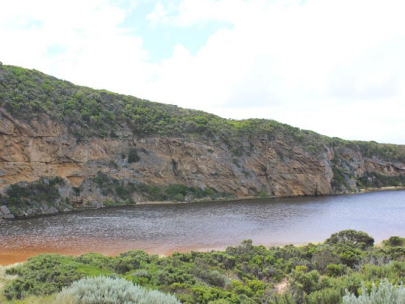
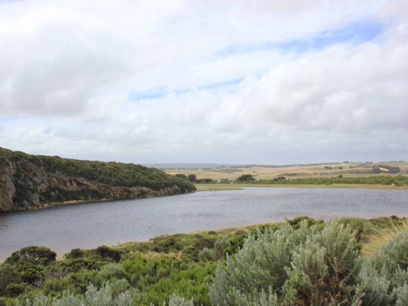
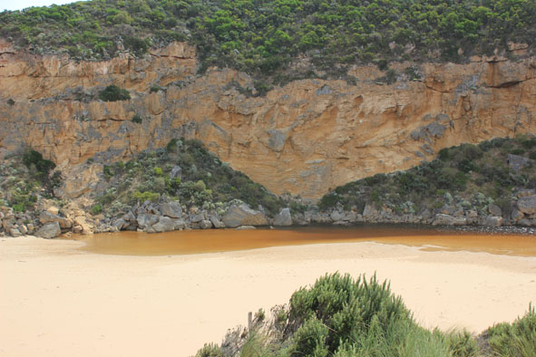
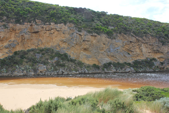
1.Mouth barred but some waves over berm at last hi tide - then travelling west to mouth & entering chanel
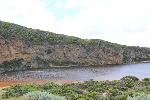
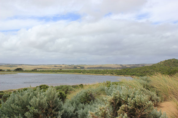
2.Water closer to carpark on low track but none on top track -no water on roads
3. Flats flooded up to G4 but only in drains & very low areas from G4 to G5
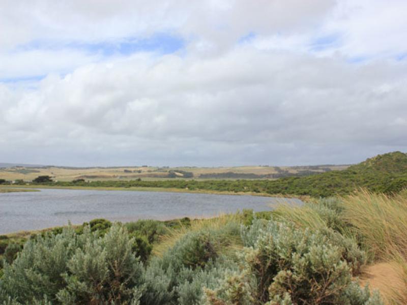
4.Dead fish on side of estuary
5.Large no. moths wings in shallow estuary water near berm
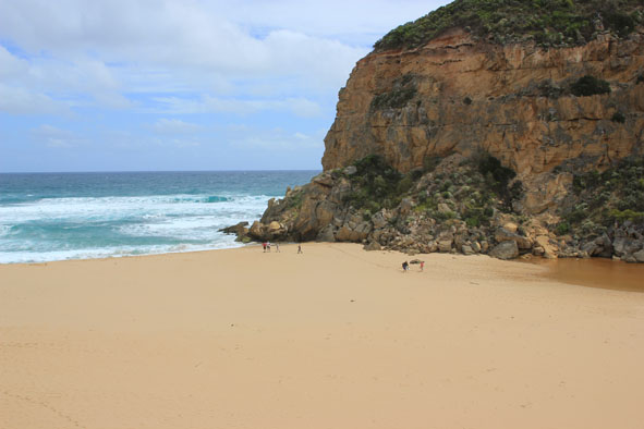
Mouth Observation
| Mouth state | Closed |
|---|---|
| Previous | O O O C O O O O O P P P C O P O O O P O O O O O O O O O O O O O O O O O O O O O O O O O O O O O O C C |
| Flow Present? | No |
| Previous | Y Y Y N Y Y Y Y Y Y N N N Y N Y Y Y Y Y Y Y Y Y Y Y Y Y Y Y Y Y Y Y Y Y Y Y Y Y Y Y Y Y Y Y Y Y Y N N |
| Flow Direction | N/A |
| Previous | O O O N O O O O O I N N N I N I I O I O O O O O O O O O O O O O O O O O O O O O O O O O O O O O O N N |
| Above Sea | Above Estuary | |
|---|---|---|
| Berm Height (m) | 1.5m | 0.6m |
| Berm Length (m) |
Physical Condition
| Current | Mode | |
|---|---|---|
| Wind Direction | South | |
| Beaufort Scale | Moderate breeze | |
| Sea State | Rough |


All content, files, data and images provided by the EstuaryWatch Data Portal and Gallery are subject to a Creative Commons Attribution License
Content is made available to be used in any way, and should always attribute EstuaryWatch and www.estuarywatch.org.au