EstuaryWatch Data Portal
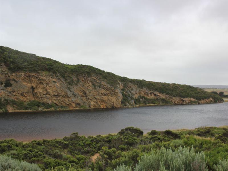
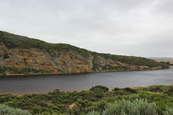
GMC Gellibrand River Estuary Mouth Observation Site
25 January 2013
Observation details
Overview
| Estuary | Gellibrand River Estuary |
|---|---|
| Site | Gellibrand River Estuary Mouth Observation Site |
| Observation ID | #8033 |
| Date and Time | Friday 25th January 2013 09:30am |
| Approved | Approved |
Notes
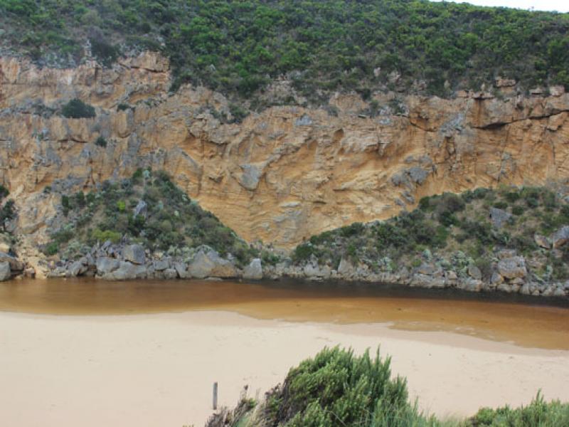
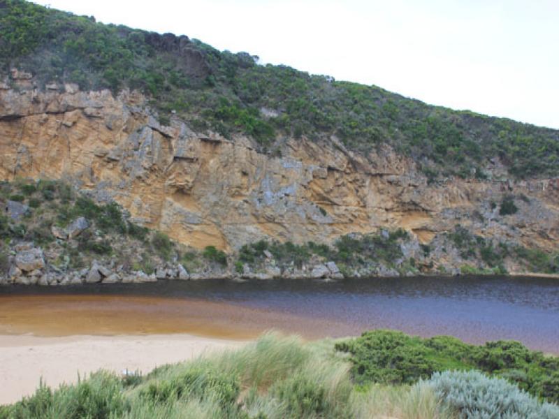
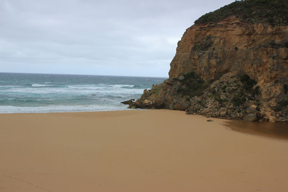
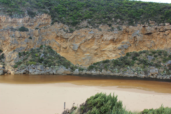
1. River barred but some waves over berm at mouth during hi tide
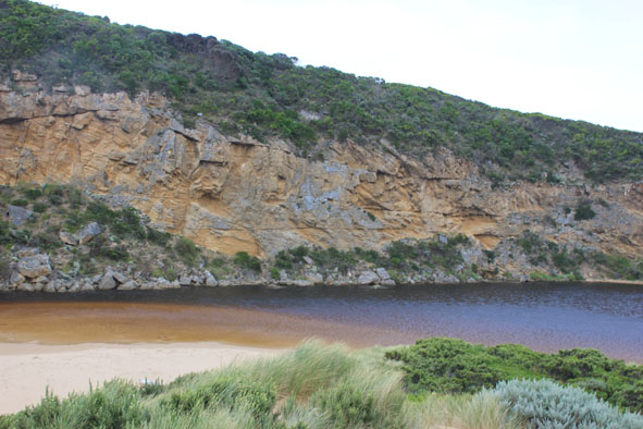
2.Estuary has moved closer to berm
3.Very strong south wind driving waves across estuary, also carrying sand into channel
4. Beach now has 1.40 high sand cliff at mid beach
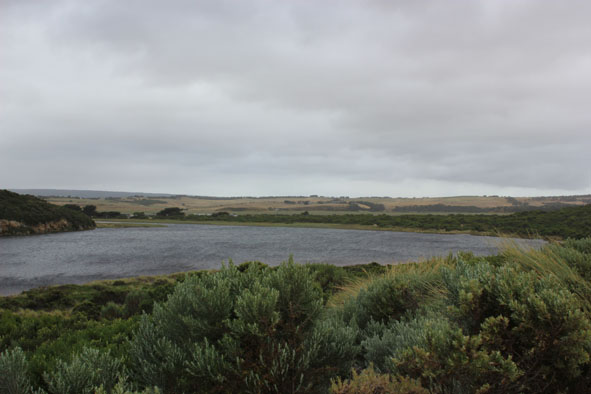
5. Water higher in estuary but no water over roads & track
6.Nankeen kestrel nesting in rocks near mouth.
Mouth Observation
| Mouth state | Closed |
|---|---|
| Previous | O O C O O O O O P P P C O P O O O P O O O O O O O O O O O O O O O O O O O O O O O O O O O O O O C C C |
| Flow Present? | No |
| Previous | Y Y N Y Y Y Y Y Y N N N Y N Y Y Y Y Y Y Y Y Y Y Y Y Y Y Y Y Y Y Y Y Y Y Y Y Y Y Y Y Y Y Y Y Y Y N N N |
| Flow Direction | N/A |
| Previous | O O N O O O O O I N N N I N I I O I O O O O O O O O O O O O O O O O O O O O O O O O O O O O O O N N N |
| Above Sea | Above Estuary | |
|---|---|---|
| Berm Height (m) | ||
| Berm Length (m) |
Physical Condition
| Current | Mode | |
|---|---|---|
| Wind Direction | South | |
| Beaufort Scale | Strong breeze | |
| Sea State | Moderate |


All content, files, data and images provided by the EstuaryWatch Data Portal and Gallery are subject to a Creative Commons Attribution License
Content is made available to be used in any way, and should always attribute EstuaryWatch and www.estuarywatch.org.au