EstuaryWatch Data Portal
GMC Gellibrand River Estuary Mouth Observation Site
13 February 2013
Observation details
Overview
| Estuary | Gellibrand River Estuary |
|---|---|
| Site | Gellibrand River Estuary Mouth Observation Site |
| Observation ID | #8080 |
| Date and Time | Wednesday 13th February 2013 10:03am |
| Approved | Approved |
Notes
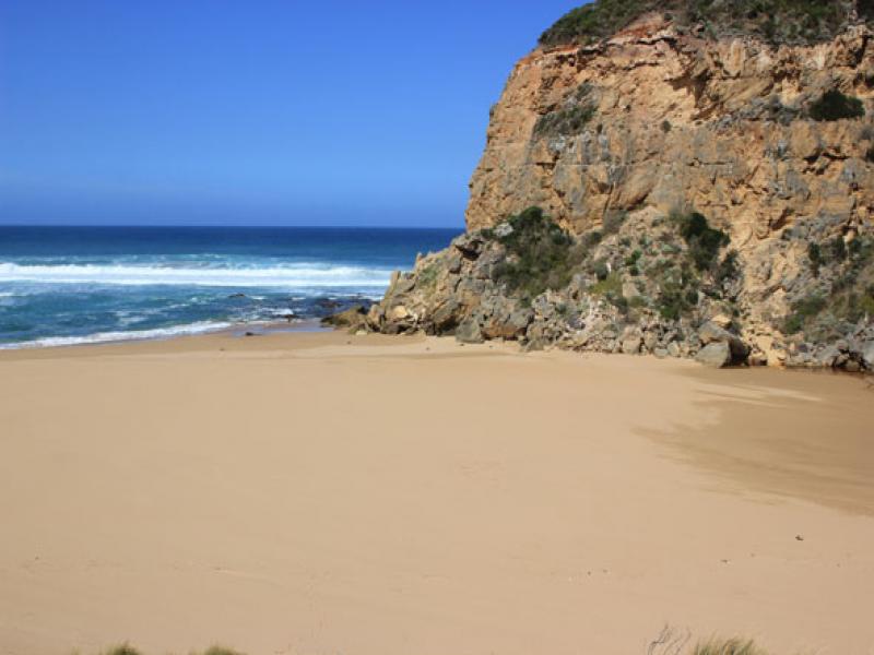
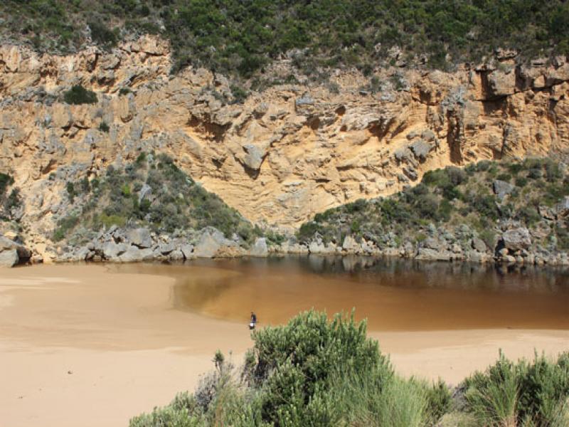
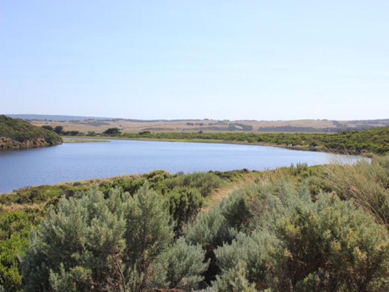
1. Mouth barred but waves over into estuary & high on beach at hi tide
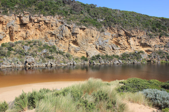
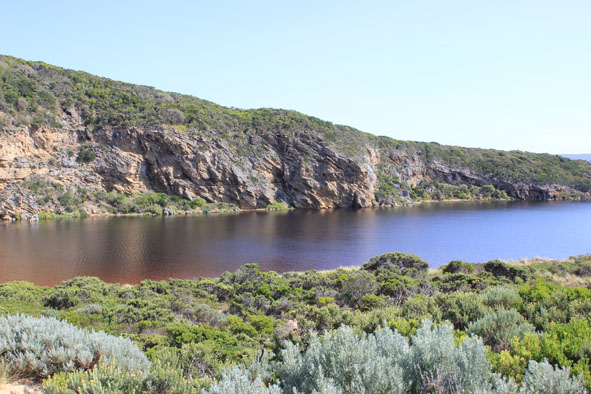
2.Sand build up in channel increased
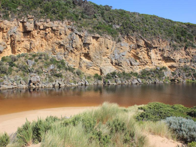
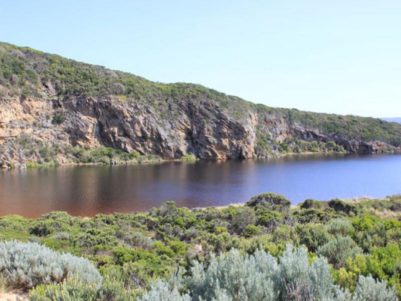
3.Berm is lower (near cliff) but width from sea to estuary has increased
4.Many small (30-80cm) fish along edge of estuary
5.Water is now over top track & just starting to appear in small a area along OCR between GOR & Camp. ground
6. Water is still only on edge of OOR
Mouth Observation
| Mouth state | Closed |
|---|---|
| Previous | O O O O O P P P C O P O O O P O O O O O O O O O O O O O O O O O O O O O O O O O O O O O O C C C C C C C |
| Flow Present? | No |
| Previous | Y Y Y Y Y Y N N N Y N Y Y Y Y Y Y Y Y Y Y Y Y Y Y Y Y Y Y Y Y Y Y Y Y Y Y Y Y Y Y Y Y Y Y N N N N N N N |
| Flow Direction | N/A |
| Previous | O O O O O I N N N I N I I O I O O O O O O O O O O O O O O O O O O O O O O O O O O O O O O N N N N N N N |
| Above Sea | Above Estuary | |
|---|---|---|
| Berm Height (m) | 0.5m | 0.1m |
| Berm Length (m) |
Physical Condition
| Current | Mode | |
|---|---|---|
| Wind Direction | South-East | |
| Beaufort Scale | Moderate breeze | |
| Sea State | Moderate |


All content, files, data and images provided by the EstuaryWatch Data Portal and Gallery are subject to a Creative Commons Attribution License
Content is made available to be used in any way, and should always attribute EstuaryWatch and www.estuarywatch.org.au