EstuaryWatch Data Portal
GMC Gellibrand River Estuary Mouth Observation Site
16 February 2013
Observation details
Overview
| Estuary | Gellibrand River Estuary |
|---|---|
| Site | Gellibrand River Estuary Mouth Observation Site |
| Observation ID | #8089 |
| Date and Time | Saturday 16th February 2013 10:15am |
| Approved | Approved |
Notes
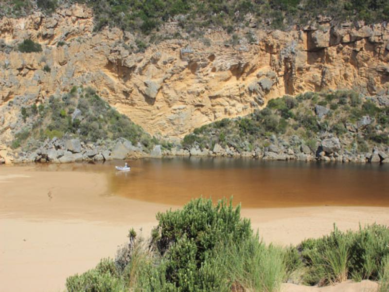
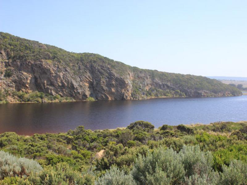
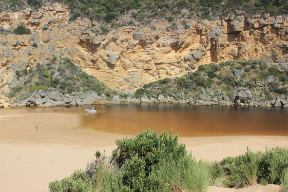
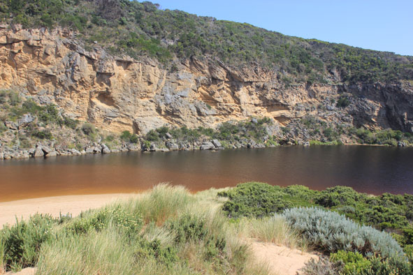
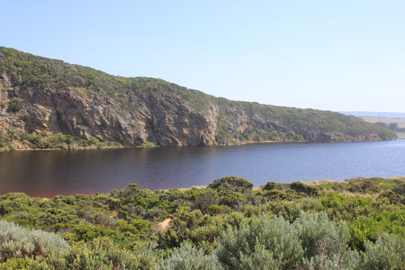
1. Mouth barred, waves over at high tide entering across a wide area.
2.Top of berm to estuary wider (88m.) distance from top of berm to sea reduced to 8m
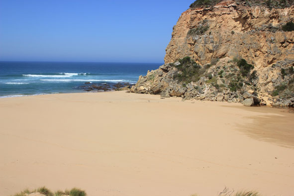
3.Ocean beach changed since 13/02/13 now undulating with lower areas from returning water
4. Berm higher near cliffs
5.Many small fish along sides of estuary & in flooded vegetation
6. Dead mullet (2) in water at start of estuary
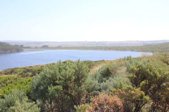
7.Not much change in flooding
8. Rainfall to date for Feb = 1.5 ml
Mouth Observation
| Mouth state | Closed |
|---|---|
| Previous | O O O O O P P P C O P O O O P O O O O O O O O O O O O O O O O O O O O O O O O O O O O O O C C C C C C C C |
| Flow Present? | Yes |
| Previous | Y Y Y Y Y Y N N N Y N Y Y Y Y Y Y Y Y Y Y Y Y Y Y Y Y Y Y Y Y Y Y Y Y Y Y Y Y Y Y Y Y Y Y N N N N N N N N |
| Flow Direction | N/A |
| Previous | O O O O O I N N N I N I I O I O O O O O O O O O O O O O O O O O O O O O O O O O O O O O O N N N N N N N N |
| Above Sea | Above Estuary | |
|---|---|---|
| Berm Height (m) | 0.7m | 0.5m |
| Berm Length (m) |
Physical Condition
| Current | Mode | |
|---|---|---|
| Wind Direction | South | |
| Beaufort Scale | Gentle breeze | |
| Sea State | Slight |


All content, files, data and images provided by the EstuaryWatch Data Portal and Gallery are subject to a Creative Commons Attribution License
Content is made available to be used in any way, and should always attribute EstuaryWatch and www.estuarywatch.org.au