EstuaryWatch Data Portal
BmMC Barham River Observation Site
28 February 2013
Observation details
Overview
| Estuary | Barham River Estuary |
|---|---|
| Site | Barham River Observation Site |
| Observation ID | #8125 |
| Date and Time | Thursday 28th February 2013 14:30pm |
| Approved | Approved |
Notes
Air Pressure 1017.3 hPa, Rainfall last 48 hrs 14.0mm
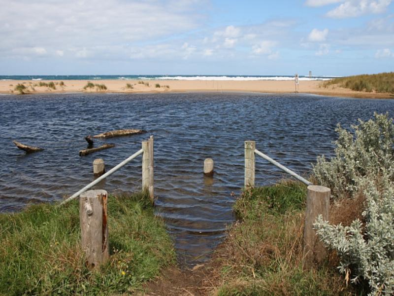
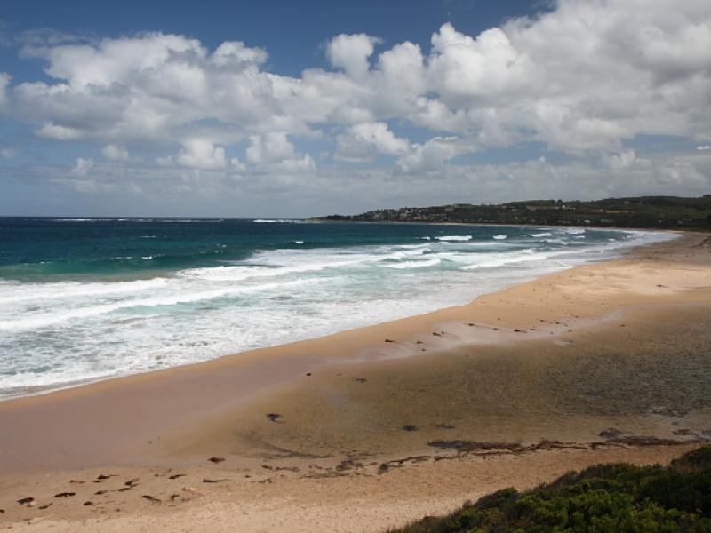
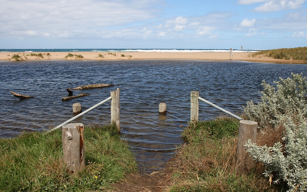
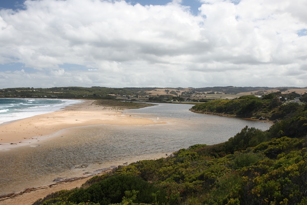
Water Level in the river high with flooded fishing platforms, and full banks. Level is due to the sand bar which is just underwater at high tide at estuary mouth. Mouth would be closed at low tide. See additional photo for BmP3 showing mouth. The location of the mouth has shifted north since last monitoring. Berm has been greatly reduced in height
Mouth Observation
| Mouth state | Open |
|---|---|
| Previous | O O O O O O O O O O O |
| Flow Present? | No |
| Previous | Y Y Y Y Y Y Y Y Y Y Y |
| Flow Direction | N/A |
| Previous | O O O I O O I I O I I |
| Above Sea | Above Estuary | |
|---|---|---|
| Berm Height (m) | ||
| Berm Length (m) |
Physical Condition
| Current | Mode | |
|---|---|---|
| Wind Direction | South | East |
| Beaufort Scale | Fresh breeze | Gentle breeze |
| Sea State | Rough |


All content, files, data and images provided by the EstuaryWatch Data Portal and Gallery are subject to a Creative Commons Attribution License
Content is made available to be used in any way, and should always attribute EstuaryWatch and www.estuarywatch.org.au