EstuaryWatch Data Portal
GMC Gellibrand River Estuary Mouth Observation Site
15 April 2013
Observation details
Overview
| Estuary | Gellibrand River Estuary |
|---|---|
| Site | Gellibrand River Estuary Mouth Observation Site |
| Observation ID | #8236 |
| Date and Time | Monday 15th April 2013 10:30am |
| Approved | Approved |
Notes
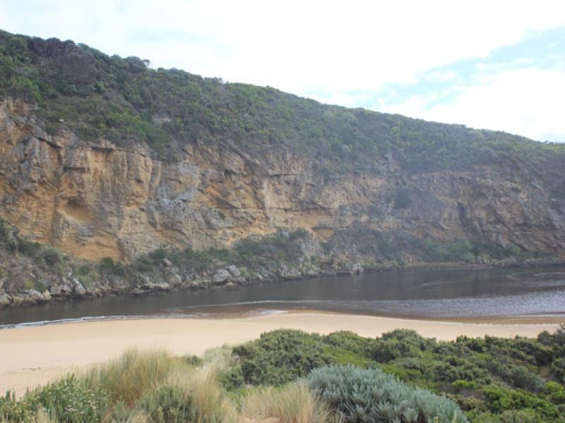
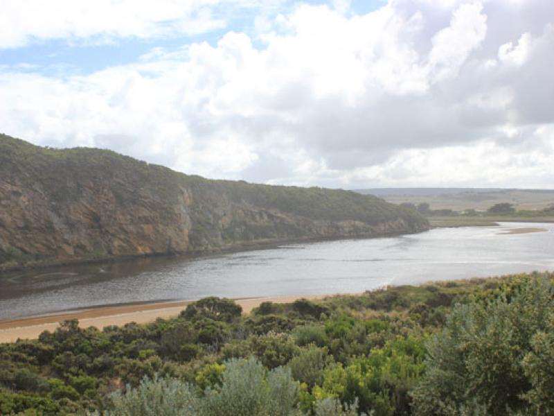
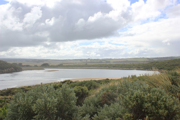
1- Illegal opening 13/04/13.
- AHD large range during monitoring
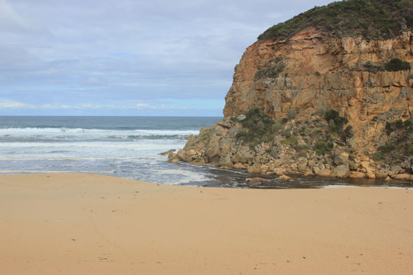
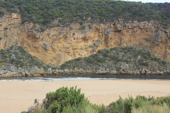
- Mouth wider than yesterday , sand cliffs at entrance 2.70m,
- waves entering channel & estuary, channel surface covered with foam
- Long shore drift bringing sand back to mouth, also colliding with waves from sw & outflow creating whirlpool
1 Flounder -about 9cm
Mouth Observation
| Mouth state | Open |
|---|---|
| Previous | O P O O O P O O O O O O O O O O O O O O O O O O O O O O O O O O O O O O C C C C C C C C C C C O O O O O O C C C C O C C C C C C C O |
| Flow Present? | Yes |
| Previous | Y N Y Y Y Y Y Y Y Y Y Y Y Y Y Y Y Y Y Y Y Y Y Y Y Y Y Y Y Y Y Y Y Y Y Y N N N N N N N N Y N N Y Y Y Y Y Y N N N N Y N N N N N N Y |
| Flow Direction | Out |
| Previous | I N I I O I O O O O O O O O O O O O O O O O O O O O O O O O O O O O O O N N N N N N N N N N O O I O O N N N N I N N N N N N O |
| Above Sea | Above Estuary | |
|---|---|---|
| Berm Height (m) | ||
| Berm Length (m) |
Physical Condition
| Current | Mode | |
|---|---|---|
| Wind Direction | South | |
| Beaufort Scale | Gentle breeze | |
| Sea State | Rough |


All content, files, data and images provided by the EstuaryWatch Data Portal and Gallery are subject to a Creative Commons Attribution License
Content is made available to be used in any way, and should always attribute EstuaryWatch and www.estuarywatch.org.au