EstuaryWatch Data Portal
GMC Gellibrand River Estuary Mouth Observation Site
19 April 2013
Observation details
Overview
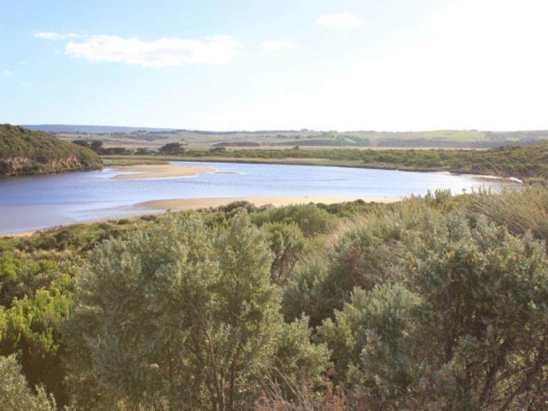
| Estuary | Gellibrand River Estuary |
|---|---|
| Site | Gellibrand River Estuary Mouth Observation Site |
| Observation ID | #8237 |
| Date and Time | Friday 19th April 2013 08:16am |
| Approved | Approved |
Notes
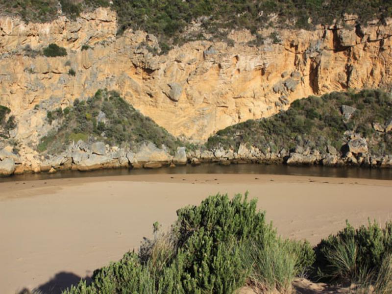
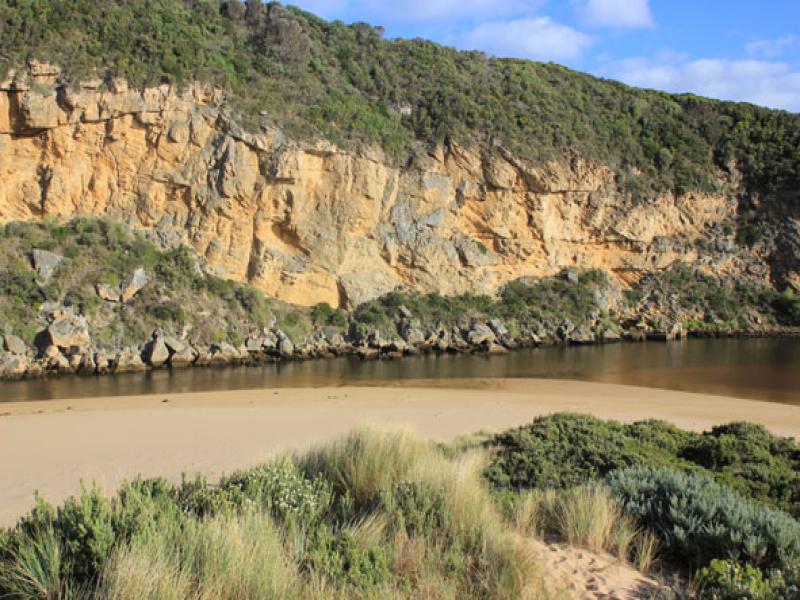
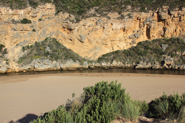
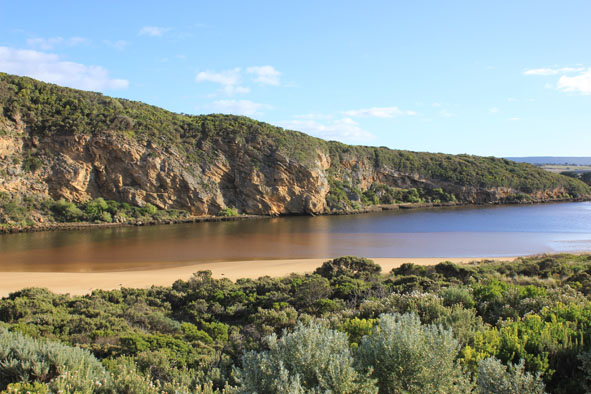
- Sand building up at mouth & around rocks
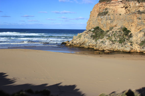
- Waves impacting on high sand east of mouth then travelling west
- longshore drift very strong along foreshore & out to sea
- Sand visiable in waves south of entrance
- Only pale discharge around mouth
- Sand bar & east side of estuary greatly exposed
- No sign of any small fish around edge of estuary
- Very cold wind
Mouth Observation
| Mouth state | Open |
|---|---|
| Previous | O P O O O P O O O O O O O O O O O O O O O O O O O O O O O O O O O O O O C C C C C C C C C C C O O O O O O C C C C O C C C C C C C O O |
| Flow Present? | Yes |
| Previous | Y N Y Y Y Y Y Y Y Y Y Y Y Y Y Y Y Y Y Y Y Y Y Y Y Y Y Y Y Y Y Y Y Y Y Y N N N N N N N N Y N N Y Y Y Y Y Y N N N N Y N N N N N N Y Y |
| Flow Direction | Out |
| Previous | I N I I O I O O O O O O O O O O O O O O O O O O O O O O O O O O O O O O N N N N N N N N N N O O I O O N N N N I N N N N N N O O |
| Above Sea | Above Estuary | |
|---|---|---|
| Berm Height (m) | ||
| Berm Length (m) |
Physical Condition
| Current | Mode | |
|---|---|---|
| Wind Direction | South-East | |
| Beaufort Scale | Gentle breeze | |
| Sea State | Rough |


All content, files, data and images provided by the EstuaryWatch Data Portal and Gallery are subject to a Creative Commons Attribution License
Content is made available to be used in any way, and should always attribute EstuaryWatch and www.estuarywatch.org.au