EstuaryWatch Data Portal
GMC Gellibrand River Estuary Mouth Observation Site
10 May 2013
Observation details
Overview
| Estuary | Gellibrand River Estuary |
|---|---|
| Site | Gellibrand River Estuary Mouth Observation Site |
| Observation ID | #8274 |
| Date and Time | Friday 10th May 2013 09:20am |
| Approved | Approved |
Notes
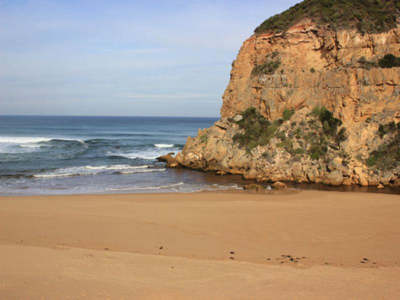
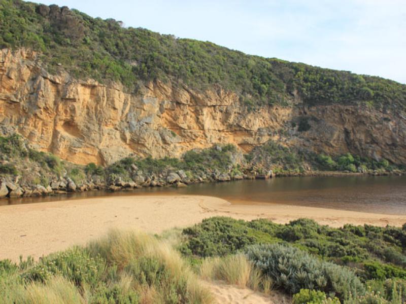
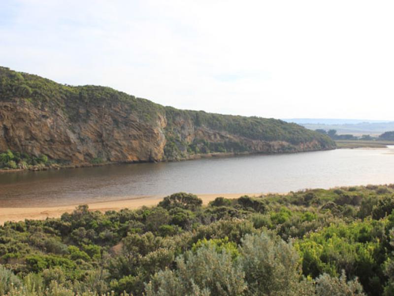
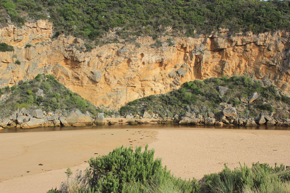
- Discharge out but mostly salt return, entrance & channel shallow.
- Very small waves entering channel & estuary
- Beach wide with slight slope down to sea around mouth but steep sand cliffs have formed at east end (over 2m.)
- Last hi tide high up on beach
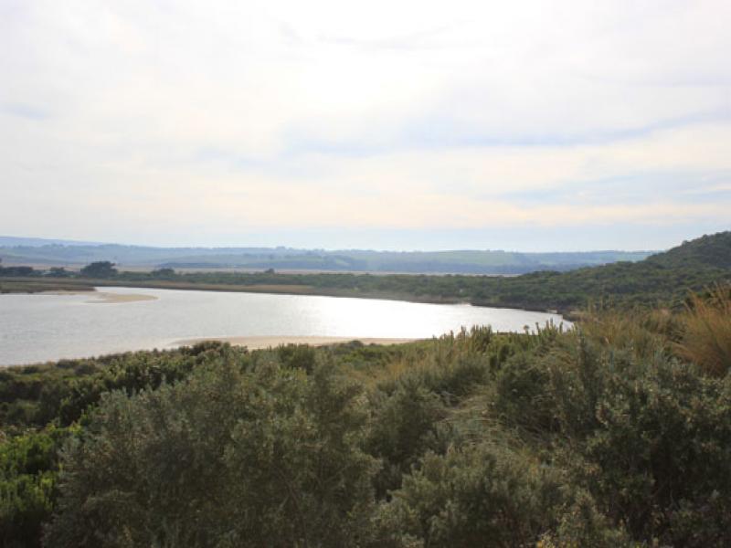
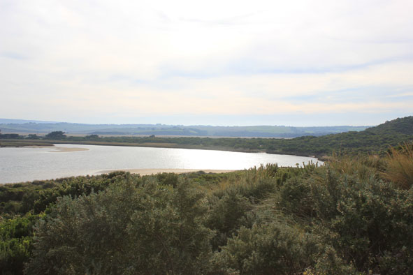
- Sandbar exposed in estuary
- Over 20 Coots in estuary also Plover with orange band on right leg (Possibly Double Banded Plover ?)
Mouth Observation
| Mouth state | Open |
|---|---|
| Previous | O O P O O O O O O O O O O O O O O O O O O O O O O O O O O O O O O C C C C C C C C C C C O O O O O O C C C C O C C C C C C C O O O O P O O |
| Flow Present? | Yes |
| Previous | Y Y Y Y Y Y Y Y Y Y Y Y Y Y Y Y Y Y Y Y Y Y Y Y Y Y Y Y Y Y Y Y Y N N N N N N N N Y N N Y Y Y Y Y Y N N N N Y N N N N N N Y Y Y Y Y Y Y |
| Flow Direction | Out |
| Previous | I O I O O O O O O O O O O O O O O O O O O O O O O O O O O O O O O N N N N N N N N N N O O I O O N N N N I N N N N N N O O O I I O O |
| Above Sea | Above Estuary | |
|---|---|---|
| Berm Height (m) | ||
| Berm Length (m) |
Physical Condition
| Current | Mode | |
|---|---|---|
| Wind Direction | North | |
| Beaufort Scale | Gentle breeze | |
| Sea State | Moderate |


All content, files, data and images provided by the EstuaryWatch Data Portal and Gallery are subject to a Creative Commons Attribution License
Content is made available to be used in any way, and should always attribute EstuaryWatch and www.estuarywatch.org.au