EstuaryWatch Data Portal
GMC Gellibrand River Estuary Mouth Observation Site
3 October 2013
Observation details
Overview
| Estuary | Gellibrand River Estuary |
|---|---|
| Site | Gellibrand River Estuary Mouth Observation Site |
| Observation ID | #8513 |
| Date and Time | Thursday 3rd October 2013 13:50pm |
| Approved | Approved |
Notes
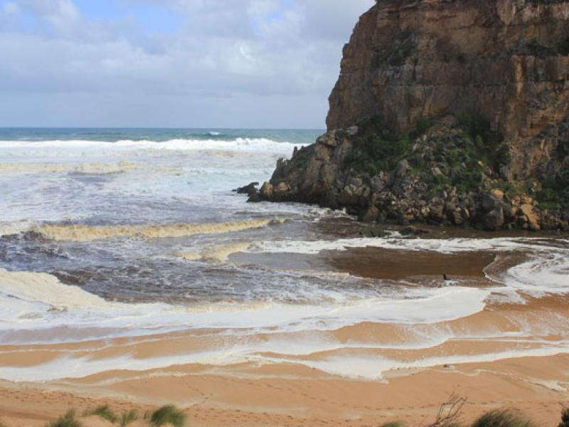
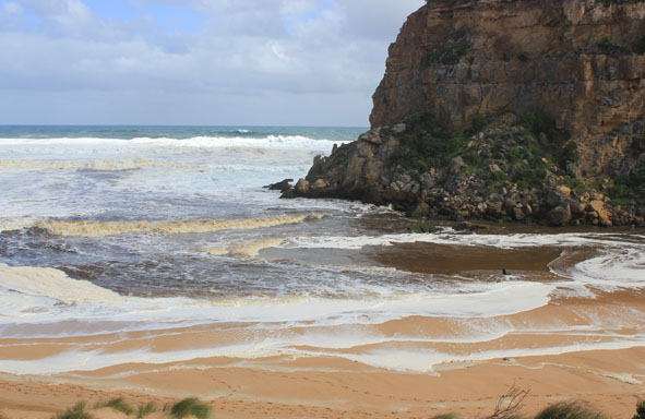
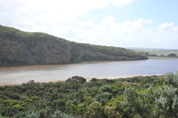
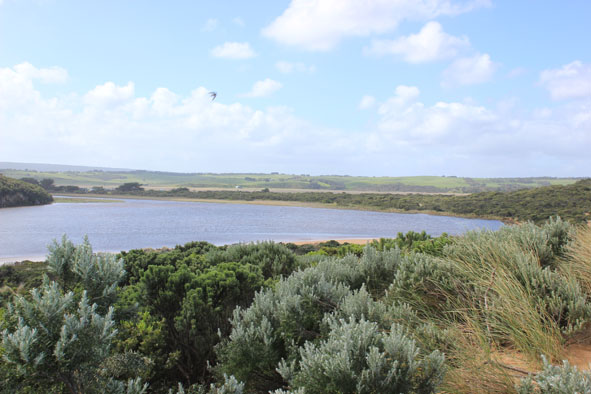
- Strong dark out flow despite rough seas
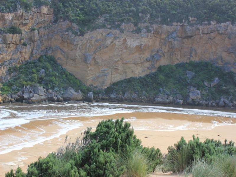
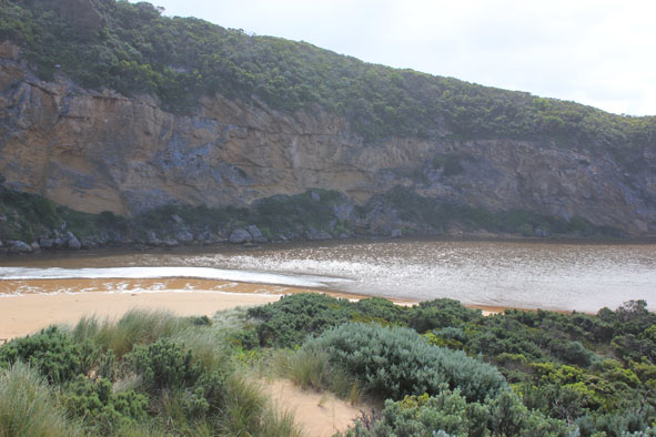
- High seas & wind gusts to 10 on 02/10/13 resulting to considerable damage to dunes both near ocean & in estuary. Low track covered with debris & seaweed
- Mouth very wide, waves up to base of dune have created a sheer face over 2m high. This continues to east where it is even higher
dark shearwater
Mouth Observation
| Mouth state | Open |
|---|---|
| Previous | O O O O O O O O O O O O O C C C C C C C C C C C O O O O O O C C C C O C C C C C C C O O O O P O O O O O O O O O O O O O O O O O O O O O O O |
| Flow Present? | Yes |
| Previous | Y Y Y Y Y Y Y Y Y Y Y Y Y N N N N N N N N Y N N Y Y Y Y Y Y N N N N Y N N N N N N Y Y Y Y Y Y Y Y Y Y Y Y Y Y Y Y Y Y Y Y Y Y Y Y Y Y Y Y |
| Flow Direction | Out |
| Previous | O O O O O O O O O O O O O N N N N N N N N N N O O I O O N N N N I N N N N N N O O O I I O O O O O O I O O I I O O O O O O O O O O O O |
| Above Sea | Above Estuary | |
|---|---|---|
| Berm Height (m) | ||
| Berm Length (m) |
Physical Condition
| Current | Mode | |
|---|---|---|
| Wind Direction | West | |
| Beaufort Scale | Fresh breeze | |
| Sea State | Very Rough |


All content, files, data and images provided by the EstuaryWatch Data Portal and Gallery are subject to a Creative Commons Attribution License
Content is made available to be used in any way, and should always attribute EstuaryWatch and www.estuarywatch.org.au