EstuaryWatch Data Portal
GMC Gellibrand River Estuary Mouth Observation Site
27 September 2013
CAUTION: This observation has not yet been reviewed by an EstuaryWatch coordinator.
Observation details
Overview
| Estuary | Gellibrand River Estuary |
|---|---|
| Site | Gellibrand River Estuary Mouth Observation Site |
| Observation ID | #8508 |
| Date and Time | Friday 27th September 2013 08:50am |
| Approved | Pending |
Notes
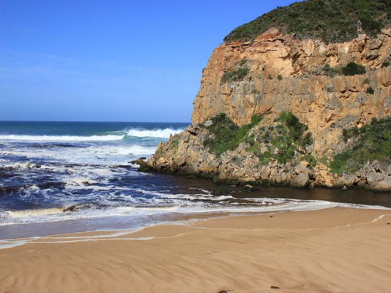
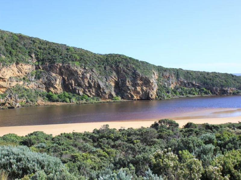
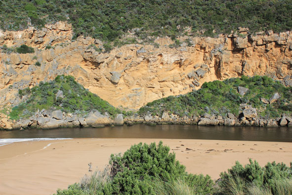
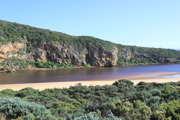
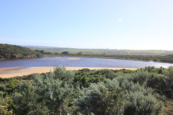
- Dark discharge out around mouth & to the east
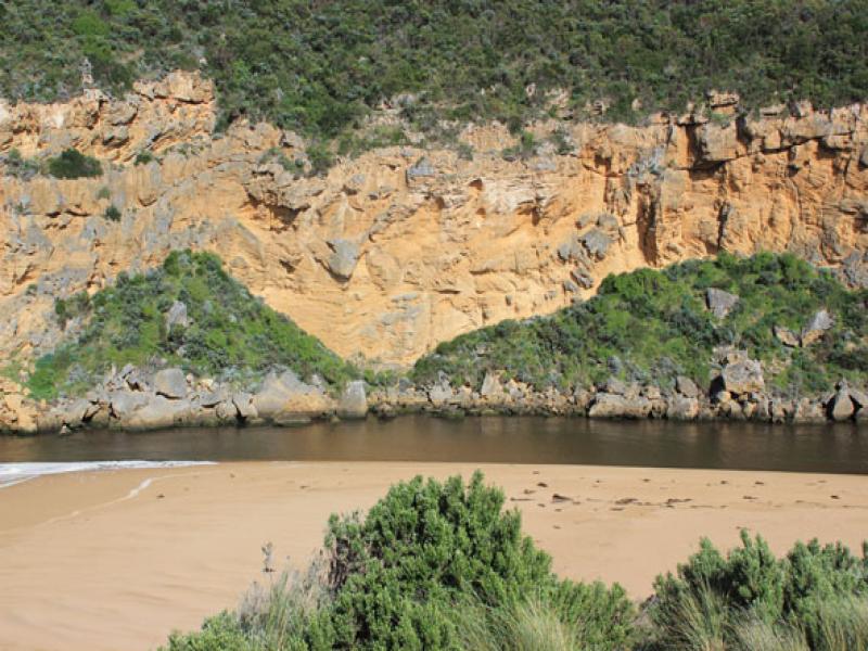
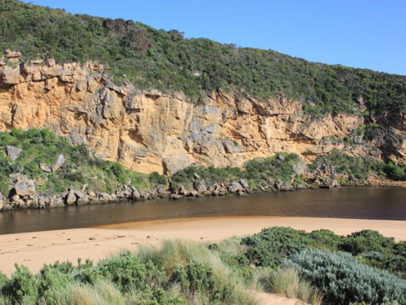
- Gale force winds & very rough seas (26/09/13) have severely impacted the sand dunes all along the ocean beach- high sheer face to dunes (from 2.5m to 4m. high)
- East end of ocean beach 'carved out' & still covered with silt & foam
- Large waves have entered the estuary causing more damage to low track (unusually very soft sand in area)
- Large area of exposed sand south side of estuary & sand dunes further reduced
- Peregrine falcon in estuary
Mouth Observation
| Mouth state | Open |
|---|---|
| Previous | O O O O O O O O O O O O O O C C C C C C C C C C C O O O O O O C C C C O C C C C C C C O O O O P O O O O O O O O O O O O O O O O O O O O O O |
| Flow Present? | Yes |
| Previous | Y Y Y Y Y Y Y Y Y Y Y Y Y Y N N N N N N N N Y N N Y Y Y Y Y Y N N N N Y N N N N N N Y Y Y Y Y Y Y Y Y Y Y Y Y Y Y Y Y Y Y Y Y Y Y Y Y Y Y |
| Flow Direction | Out |
| Previous | O O O O O O O O O O O O O O N N N N N N N N N N O O I O O N N N N I N N N N N N O O O I I O O O O O O I O O I I O O O O O O O O O O O |
| Above Sea | Above Estuary | |
|---|---|---|
| Berm Height (m) | ||
| Berm Length (m) |
Physical Condition
| Current | Mode | |
|---|---|---|
| Wind Direction | North-West | |
| Beaufort Scale | Moderate breeze | |
| Sea State | Rough |


All content, files, data and images provided by the EstuaryWatch Data Portal and Gallery are subject to a Creative Commons Attribution License
Content is made available to be used in any way, and should always attribute EstuaryWatch and www.estuarywatch.org.au