EstuaryWatch Data Portal
GMC Gellibrand River Estuary Mouth Observation Site
18 October 2013
Observation details
Overview
| Estuary | Gellibrand River Estuary |
|---|---|
| Site | Gellibrand River Estuary Mouth Observation Site |
| Observation ID | #8529 |
| Date and Time | Friday 18th October 2013 07:58am |
| Approved | Approved |
Notes
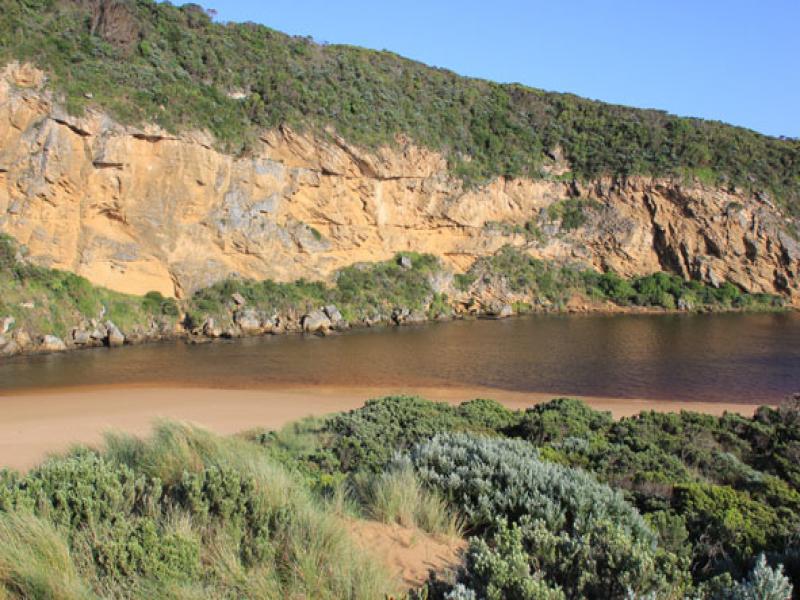
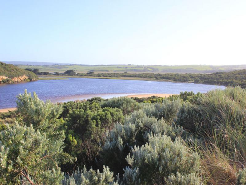
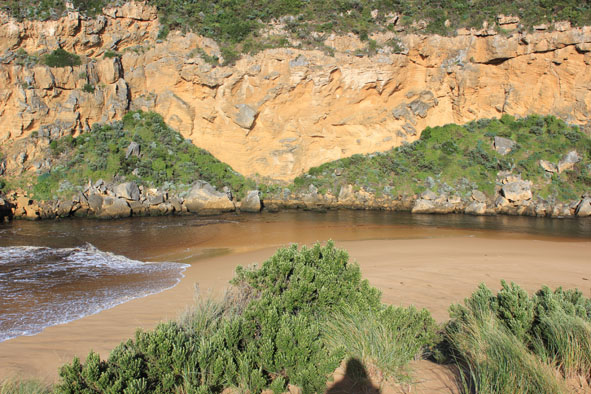
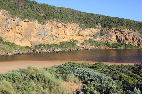
- Outflow reducing, dark discharge only around mouth
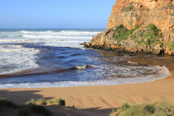
- V.rough sea, waves curving around across mouth, longshore drift active & strong rip out to sea.
- Waves travelling down channel into estuary
- Strong gale force wind & high sea on 17/10/13 have created more erosion to dunes on ocean beach & in estuary
- Sand has built up around rocks & channel only about4m. wide upstream
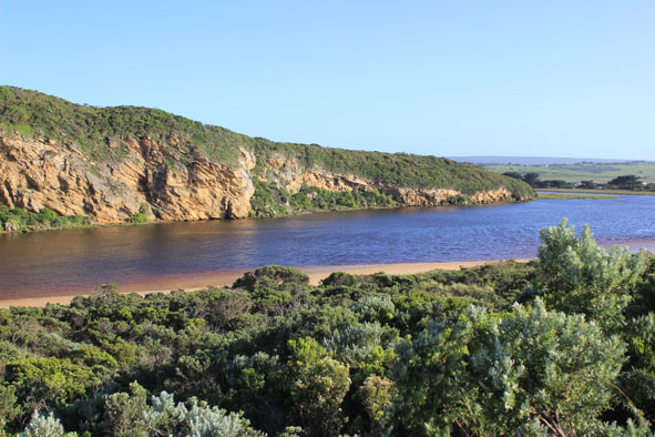
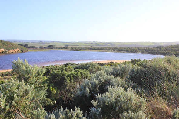
Mouth Observation
| Mouth state | Open |
|---|---|
| Previous | O O O O O O O O O O O C C C C C C C C C C C O O O O O O C C C C O C C C C C C C O O O O P O O O O O O O O O O O O O O O O O O O O O O O O O |
| Flow Present? | Yes |
| Previous | Y Y Y Y Y Y Y Y Y Y Y N N N N N N N N Y N N Y Y Y Y Y Y N N N N Y N N N N N N Y Y Y Y Y Y Y Y Y Y Y Y Y Y Y Y Y Y Y Y Y Y Y Y Y Y Y Y Y Y |
| Flow Direction | Out |
| Previous | O O O O O O O O O O O N N N N N N N N N N O O I O O N N N N I N N N N N N O O O I I O O O O O O I O O I I O O O O O O O O O O O O O O |
| Above Sea | Above Estuary | |
|---|---|---|
| Berm Height (m) | ||
| Berm Length (m) |
Physical Condition
| Current | Mode | |
|---|---|---|
| Wind Direction | North-West | |
| Beaufort Scale | Fresh breeze | |
| Sea State | Very Rough |


All content, files, data and images provided by the EstuaryWatch Data Portal and Gallery are subject to a Creative Commons Attribution License
Content is made available to be used in any way, and should always attribute EstuaryWatch and www.estuarywatch.org.au