EstuaryWatch Data Portal
GMC Gellibrand River Estuary Mouth Observation Site
31 October 2013
Observation details
Overview
| Estuary | Gellibrand River Estuary |
|---|---|
| Site | Gellibrand River Estuary Mouth Observation Site |
| Observation ID | #8543 |
| Date and Time | Thursday 31st October 2013 11:50am |
| Approved | Approved |
Notes
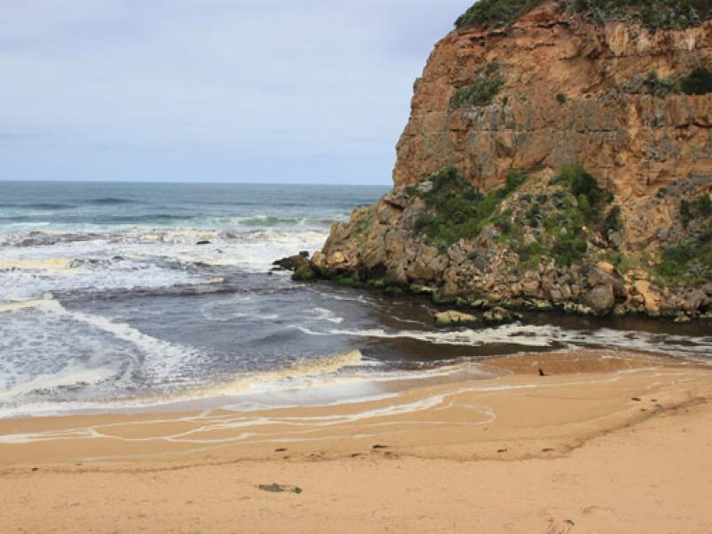
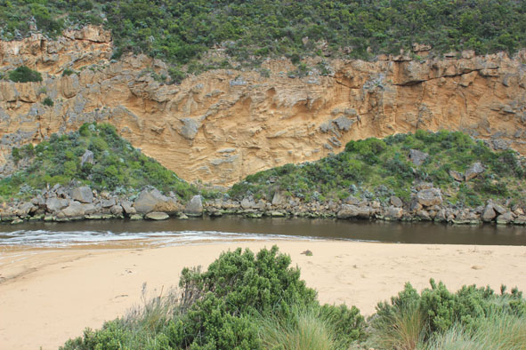
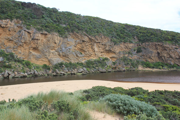
- Dark discharge around mouth, along foreshore, slightly out to sea & west
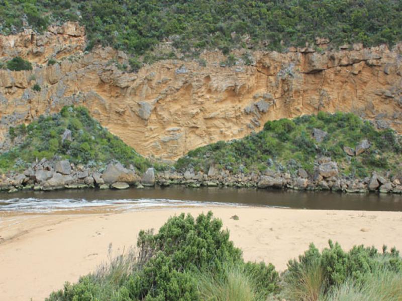
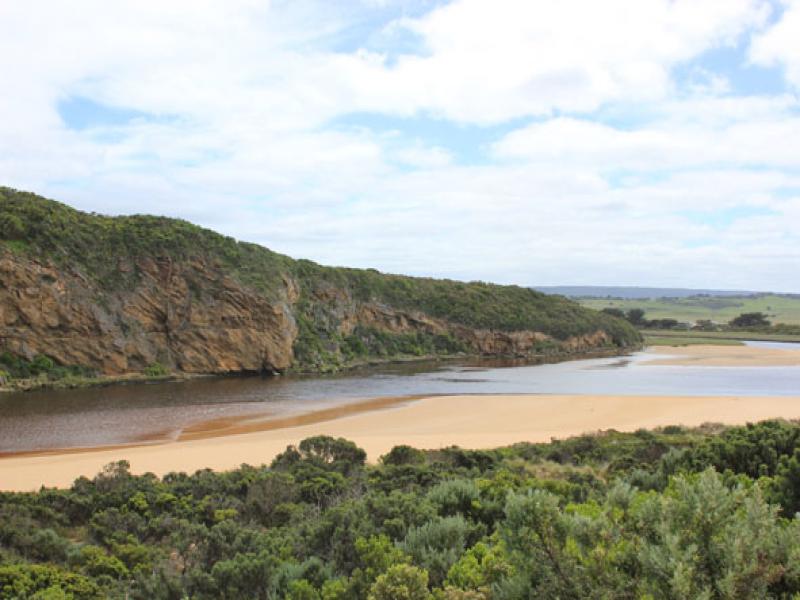
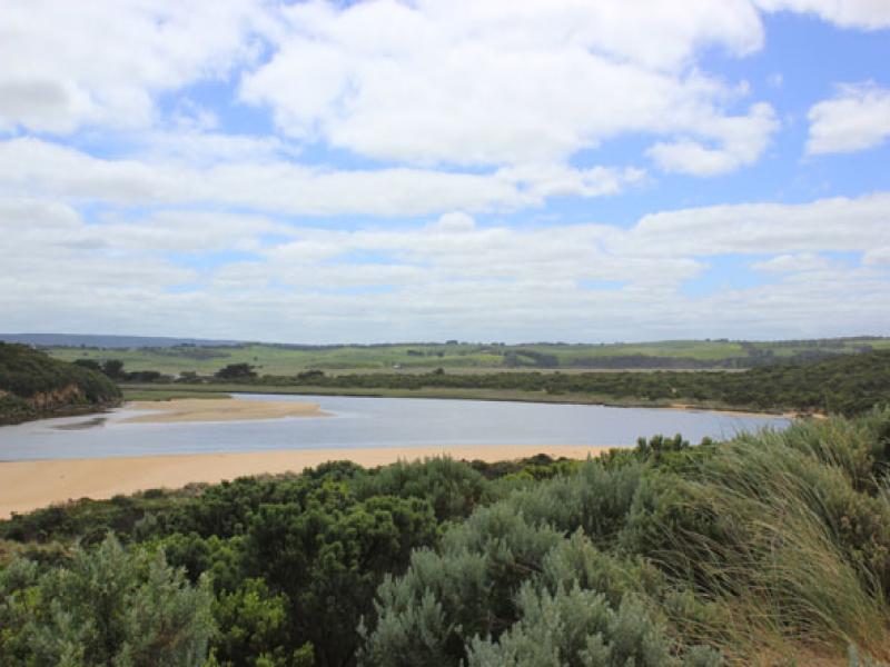
- Water levels in estuary very low, sand bar, south side & low track well exposed
- Waves entering channel
- Sand dunes on ocean beach more severely eroded, . steep face now about 3-5m. high, sand,shrubs & vegetation have been driven toward mouth and around into estuary
- 2nd (30-70 cm. high) small sand cliff forming below dune face
- 13 dead black shearwaters & many small purple shells along beach.
- Flood waters upstream are receding but all flats around G5 are still underwater
- Strong flow under bridge G4
Mouth Observation
| Mouth state | Open |
|---|---|
| Previous | O O O O O O O O O O C C C C C C C C C C C O O O O O O C C C C O C C C C C C C O O O O P O O O O O O O O O O O O O O O O O O O O O O O O O O |
| Flow Present? | Yes |
| Previous | Y Y Y Y Y Y Y Y Y Y N N N N N N N N Y N N Y Y Y Y Y Y N N N N Y N N N N N N Y Y Y Y Y Y Y Y Y Y Y Y Y Y Y Y Y Y Y Y Y Y Y Y Y Y Y Y Y Y Y |
| Flow Direction | Out |
| Previous | O O O O O O O O O O N N N N N N N N N N O O I O O N N N N I N N N N N N O O O I I O O O O O O I O O I I O O O O O O O O O O O O O O O |
| Above Sea | Above Estuary | |
|---|---|---|
| Berm Height (m) | ||
| Berm Length (m) |
Physical Condition
| Current | Mode | |
|---|---|---|
| Wind Direction | South | |
| Beaufort Scale | Gentle breeze | |
| Sea State | Rough |


All content, files, data and images provided by the EstuaryWatch Data Portal and Gallery are subject to a Creative Commons Attribution License
Content is made available to be used in any way, and should always attribute EstuaryWatch and www.estuarywatch.org.au