EstuaryWatch Data Portal
GMC Gellibrand River Estuary Mouth Observation Site
28 March 2014
Observation details
Overview
| Estuary | Gellibrand River Estuary |
|---|---|
| Site | Gellibrand River Estuary Mouth Observation Site |
| Observation ID | #8803 |
| Date and Time | Friday 28th March 2014 10:51am |
| Approved | Approved |
Notes
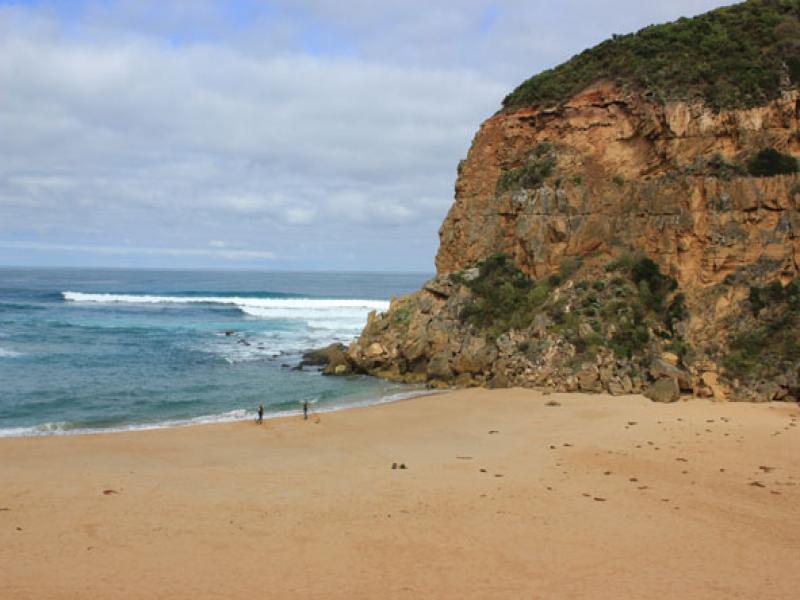
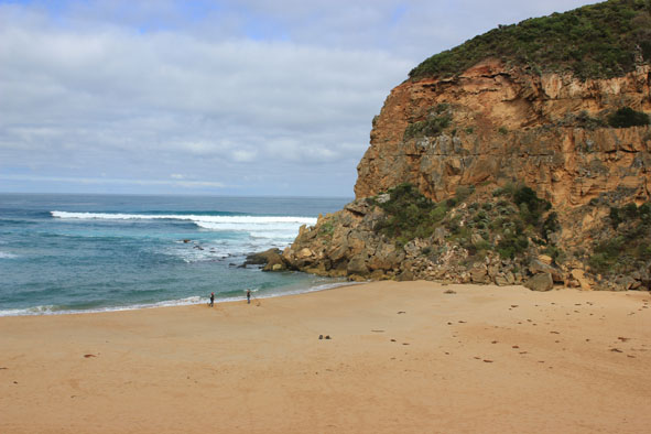
- Mouth barred but some waves over at hi tide (wave patterns in sand toward estuary)
- Waves have been up to base of sand dunes at west end of ocean beach which is still horse shoe shaped with sand highest near mouth
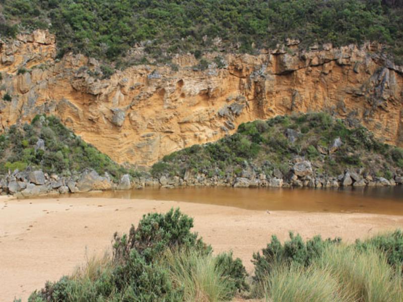
- Berm is highest close to sea but a depression has formed between top of berm & estuary
- Water over low track & into vegetation near car park
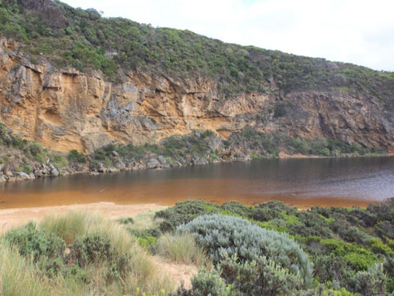
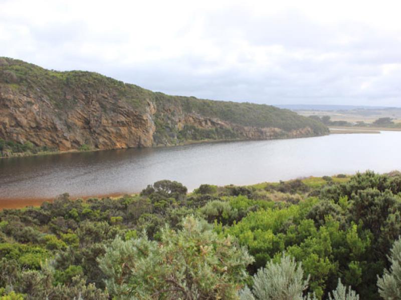
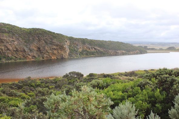
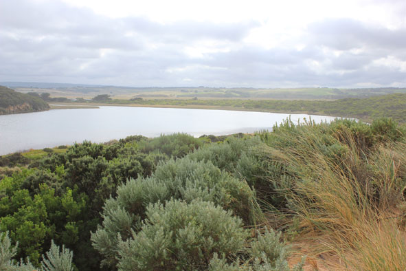
- Flooding in all wetlands around township but not upstream of G4
Mouth Observation
| Mouth state | Closed |
|---|---|
| Previous | C C C C O O O O P O O O O O O O O O O O O O O O O O O O O O O O O O O O O O O O O O O O O O O O O O O O O O O C C |
| Flow Present? | No |
| Previous | N N N Y Y Y Y Y Y Y Y Y Y Y Y Y Y Y Y Y Y Y Y Y Y Y Y Y Y Y Y Y Y Y Y Y Y Y Y Y Y Y Y Y Y Y Y Y Y Y Y Y Y Y N N |
| Flow Direction | N/A |
| Previous | N N N O O O I I O O O O O O I O O I I O O O O O O O O O O O O O O O O O O O O O O O O O O O O O O O O O O O N N |
| Above Sea | Above Estuary | |
|---|---|---|
| Berm Height (m) | ||
| Berm Length (m) |
Physical Condition
| Current | Mode | |
|---|---|---|
| Wind Direction | South-East | |
| Beaufort Scale | Gentle breeze | |
| Sea State | Moderate |


All content, files, data and images provided by the EstuaryWatch Data Portal and Gallery are subject to a Creative Commons Attribution License
Content is made available to be used in any way, and should always attribute EstuaryWatch and www.estuarywatch.org.au