EstuaryWatch Data Portal
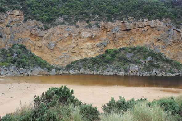
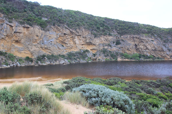
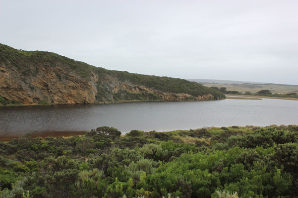
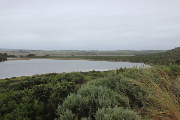
GMC Gellibrand River Estuary Mouth Observation Site
2 April 2014
Observation details
Overview
| Estuary | Gellibrand River Estuary |
|---|---|
| Site | Gellibrand River Estuary Mouth Observation Site |
| Observation ID | #8818 |
| Date and Time | Wednesday 2nd April 2014 15:25pm |
| Approved | Approved |
Notes
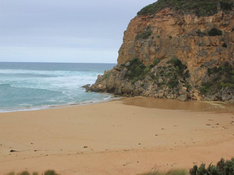
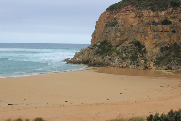
- Waves over berm entering estuary from rough sea across a wide area
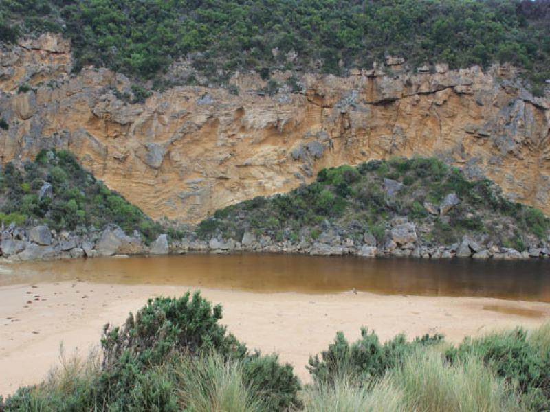
- Water level in estuary high
- Waves also up to base of dunes, longshore drift active travelling behind berm
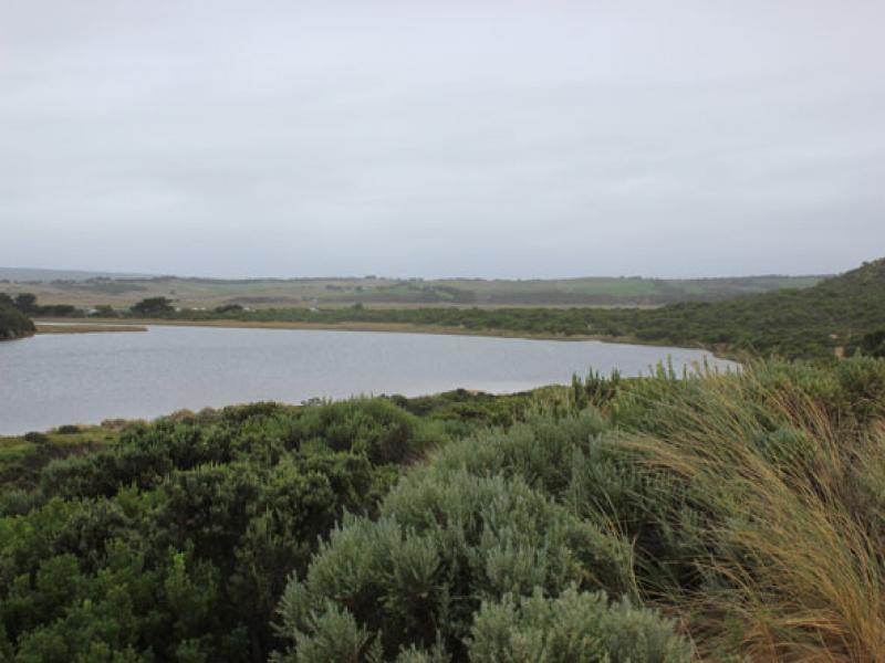
- Water over low track & visible in vegetation beside car park, also in dip on road south side of camp. ground where the track to the river is also covered. Water visible in wetland west of camp ground boundary
- Flats around Princetown up to G4 have water cover but no flooding around G5 & upstream
Mouth Observation
| Mouth state | Perched |
|---|---|
| Previous | C C C O O O O P O O O O O O O O O O O O O O O O O O O O O O O O O O O O O O O O O O O O O O O O O O O O O O C C C |
| Flow Present? | Yes |
| Previous | N N Y Y Y Y Y Y Y Y Y Y Y Y Y Y Y Y Y Y Y Y Y Y Y Y Y Y Y Y Y Y Y Y Y Y Y Y Y Y Y Y Y Y Y Y Y Y Y Y Y Y Y N N N |
| Flow Direction | In |
| Previous | N N O O O I I O O O O O O I O O I I O O O O O O O O O O O O O O O O O O O O O O O O O O O O O O O O O O O N N N |
| Above Sea | Above Estuary | |
|---|---|---|
| Berm Height (m) | ||
| Berm Length (m) |
Physical Condition
| Current | Mode | |
|---|---|---|
| Wind Direction | South | |
| Beaufort Scale | Gentle breeze | |
| Sea State | Rough |


All content, files, data and images provided by the EstuaryWatch Data Portal and Gallery are subject to a Creative Commons Attribution License
Content is made available to be used in any way, and should always attribute EstuaryWatch and www.estuarywatch.org.au