EstuaryWatch Data Portal
GMC Gellibrand River Estuary Mouth Observation Site
6 April 2014
Observation details
Overview
| Estuary | Gellibrand River Estuary |
|---|---|
| Site | Gellibrand River Estuary Mouth Observation Site |
| Observation ID | #8822 |
| Date and Time | Sunday 6th April 2014 10:04am |
| Approved | Approved |
Notes
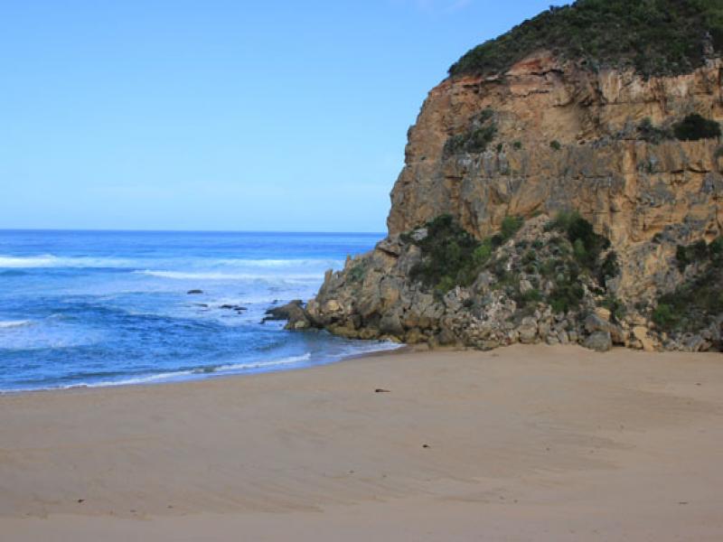
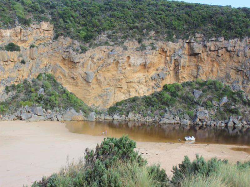
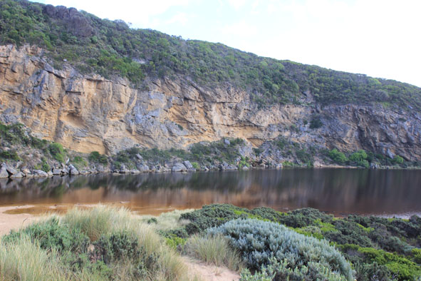
- Mouth barred but waves have been over berm at hi tide
- Berm highest along beach east of the mouth but toward cliff ( going west) it gradually slopes down
- Ocean beach horseshoe shaped - waves up to base of dunes at last hi tide
- swell from s/w with strong rip & longshore drift to west across mouth
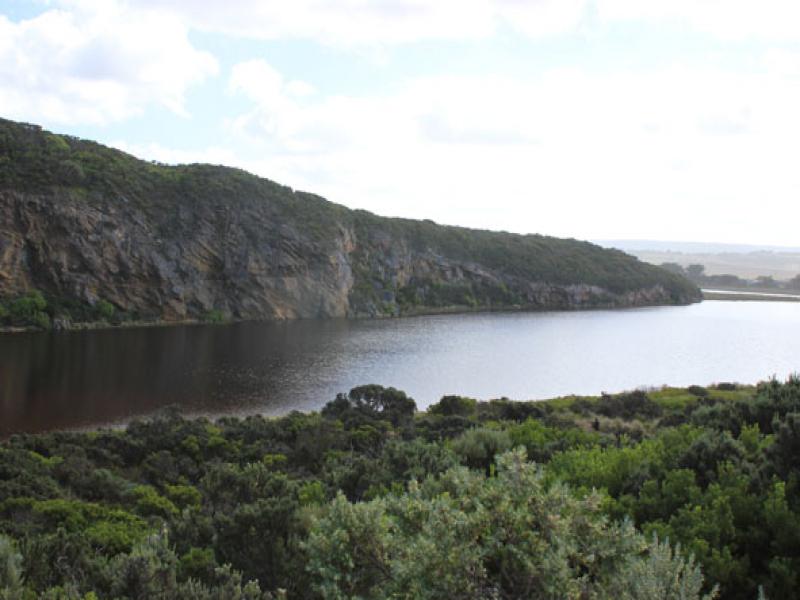
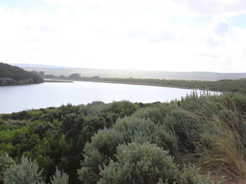
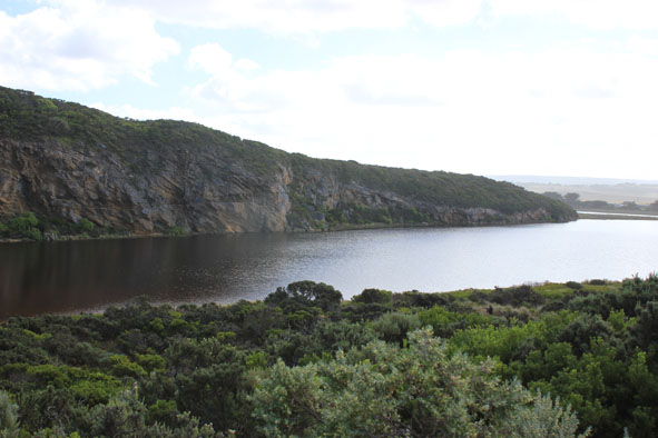
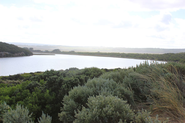
- Estuary is much wider near sea
- Water levels in estuary increased, water in dip & across track to river south of camp ground -no flooding in camp ground or across roads (water to edge of O.O.R. in low areas near flood markers)
- Water still beneath deck of fishing platform near G2
Mouth Observation
| Mouth state | Closed |
|---|---|
| Previous | C C O O O O P O O O O O O O O O O O O O O O O O O O O O O O O O O O O O O O O O O O O O O O O O O O O O O C C C P |
| Flow Present? | No |
| Previous | N N Y Y Y Y Y Y Y Y Y Y Y Y Y Y Y Y Y Y Y Y Y Y Y Y Y Y Y Y Y Y Y Y Y Y Y Y Y Y Y Y Y Y Y Y Y Y Y Y Y Y Y N N N Y |
| Flow Direction | N/A |
| Previous | N N O O O I I O O O O O O I O O I I O O O O O O O O O O O O O O O O O O O O O O O O O O O O O O O O O O O N N N I |
| Above Sea | Above Estuary | |
|---|---|---|
| Berm Height (m) | ||
| Berm Length (m) |
Physical Condition
| Current | Mode | |
|---|---|---|
| Wind Direction | South-West | |
| Beaufort Scale | Light Breeze | |
| Sea State | Moderate |


All content, files, data and images provided by the EstuaryWatch Data Portal and Gallery are subject to a Creative Commons Attribution License
Content is made available to be used in any way, and should always attribute EstuaryWatch and www.estuarywatch.org.au