EstuaryWatch Data Portal
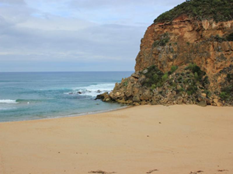
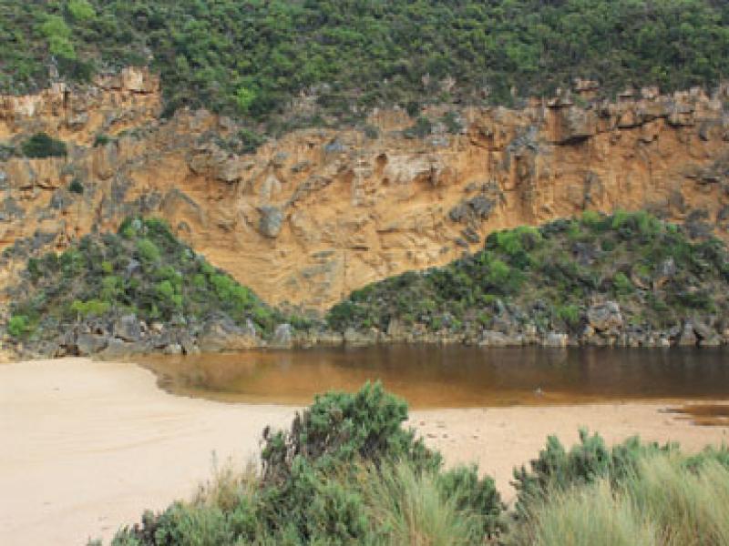
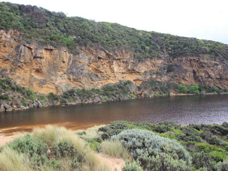
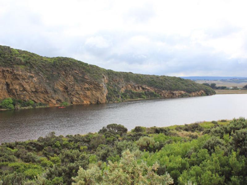
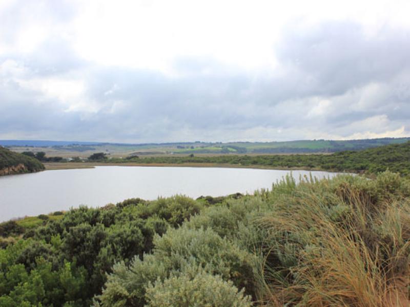
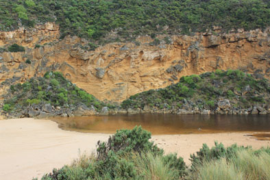
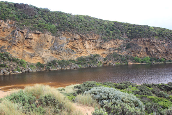
GMC Gellibrand River Estuary Mouth Observation Site
9 April 2014
Observation details
Overview
| Estuary | Gellibrand River Estuary |
|---|---|
| Site | Gellibrand River Estuary Mouth Observation Site |
| Observation ID | #8878 |
| Date and Time | Wednesday 9th April 2014 10:10am |
| Approved | Approved |
Notes
- Mouth barred
- no waves over berm at last hi tide
- water levels have risen but no water over roads except for some along the edge of O.O.R. near flood markers (above 0.2)
- very small amount of water in extremely low areas in camp. ground
- water increased in low area of top track to beach
- Floodwater starting (waterlogging) downstream, midway between G5&G4
- water in drains & very low areas around G5 & upstream to G6
Mouth Observation
| Mouth state | Closed |
|---|---|
| Previous | C O O O O P O O O O O O O O O O O O O O O O O O O O O O O O O O O O O O O O O O O O O O O O O O O O O O C C C P C |
| Flow Present? | No |
| Previous | N Y Y Y Y Y Y Y Y Y Y Y Y Y Y Y Y Y Y Y Y Y Y Y Y Y Y Y Y Y Y Y Y Y Y Y Y Y Y Y Y Y Y Y Y Y Y Y Y Y Y Y N N N Y N |
| Flow Direction | N/A |
| Previous | N O O O I I O O O O O O I O O I I O O O O O O O O O O O O O O O O O O O O O O O O O O O O O O O O O O O N N N I N |
| Above Sea | Above Estuary | |
|---|---|---|
| Berm Height (m) | 1.3m | 0.3m |
| Berm Length (m) |
Physical Condition
| Current | Mode | |
|---|---|---|
| Wind Direction | North-East | |
| Beaufort Scale | Light Breeze | |
| Sea State | Moderate |


All content, files, data and images provided by the EstuaryWatch Data Portal and Gallery are subject to a Creative Commons Attribution License
Content is made available to be used in any way, and should always attribute EstuaryWatch and www.estuarywatch.org.au