EstuaryWatch Data Portal
GMC Gellibrand River Estuary Mouth Observation Site
12 April 2014
Observation details
Overview
| Estuary | Gellibrand River Estuary |
|---|---|
| Site | Gellibrand River Estuary Mouth Observation Site |
| Observation ID | #8879 |
| Date and Time | Saturday 12th April 2014 12:00pm |
| Approved | Approved |
Notes
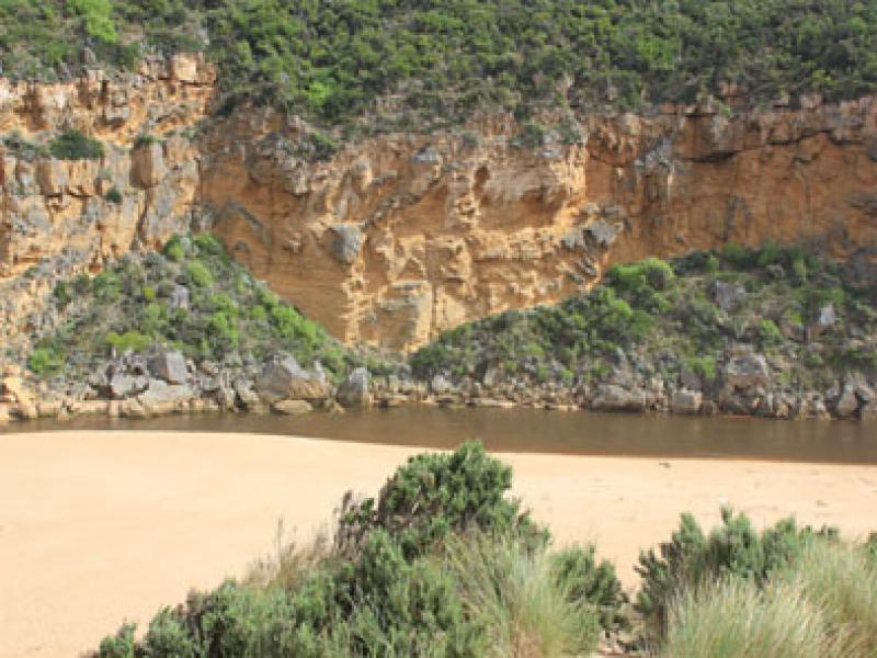
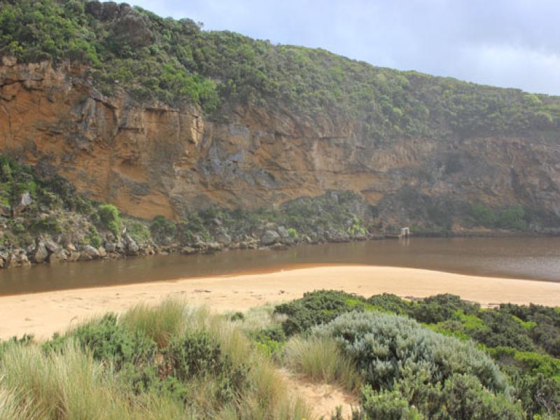
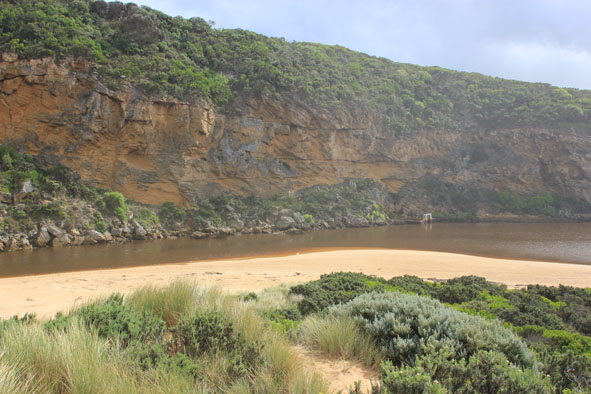
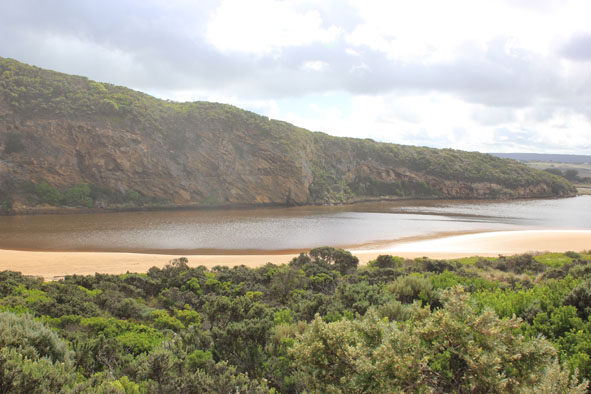
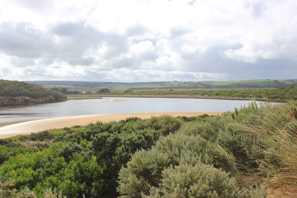
- Artificial opening 11/14/2014 ( Early AM.)
- strong dark discharge from mouth to east & west
- water level dropped about 1m. since opening
- mouth about 40m. wide but channel narrowing upstream rocks to about 15m.Flow on both sides of rocks
- steep 1.30 m/ sides to channel at mouth
- waves in all directions at mouth with strong rip & longshore drift
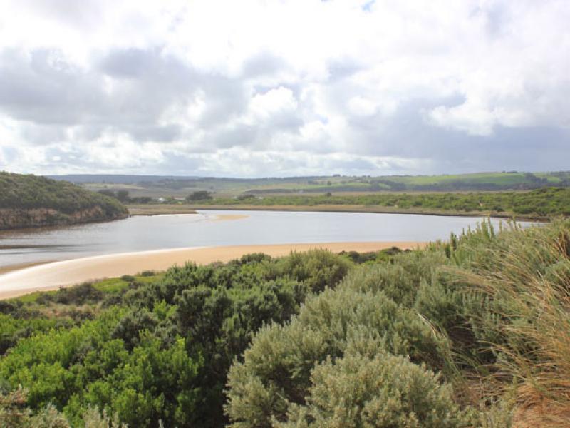
- sandbar exposed & wide expanse of sand south side of estuary
- water only in deep areas of low track
- couple of dead salt water fish but many small fish swimming near surface
Mouth Observation
| Mouth state | Open |
|---|---|
| Previous | C O O O O P O O O O O O O O O O O O O O O O O O O O O O O O O O O O O O O O O O O O O O O O O O O O O O C C C P C C |
| Flow Present? | Yes |
| Previous | N Y Y Y Y Y Y Y Y Y Y Y Y Y Y Y Y Y Y Y Y Y Y Y Y Y Y Y Y Y Y Y Y Y Y Y Y Y Y Y Y Y Y Y Y Y Y Y Y Y Y Y N N N Y N N |
| Flow Direction | Out |
| Previous | N O O O I I O O O O O O I O O I I O O O O O O O O O O O O O O O O O O O O O O O O O O O O O O O O O O O N N N I N N |
| Above Sea | Above Estuary | |
|---|---|---|
| Berm Height (m) | ||
| Berm Length (m) |
Physical Condition
| Current | Mode | |
|---|---|---|
| Wind Direction | South-East | |
| Beaufort Scale | Gentle breeze | |
| Sea State | Moderate |


All content, files, data and images provided by the EstuaryWatch Data Portal and Gallery are subject to a Creative Commons Attribution License
Content is made available to be used in any way, and should always attribute EstuaryWatch and www.estuarywatch.org.au