EstuaryWatch Data Portal
Observation details
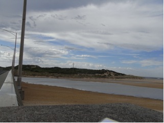
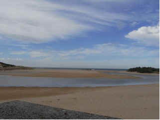
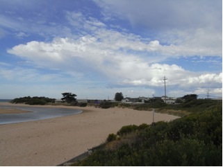
Overview
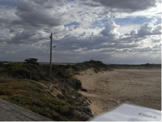
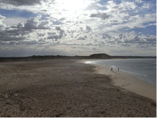
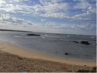
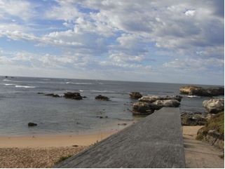
| Estuary | Curdies River Estuary |
|---|---|
| Site | Curdies Mouth Condition |
| Observation ID | #8859 |
| Date and Time | Tuesday 11th March 2014 09:15am |
| Approved | Approved |


All content, files, data and images provided by the EstuaryWatch Data Portal and Gallery are subject to a Creative Commons Attribution License
Content is made available to be used in any way, and should always attribute EstuaryWatch and www.estuarywatch.org.au