EstuaryWatch Data Portal
GMC Gellibrand River Estuary Mouth Observation Site
13 June 2014
Observation details
Overview
| Estuary | Gellibrand River Estuary |
|---|---|
| Site | Gellibrand River Estuary Mouth Observation Site |
| Observation ID | #8953 |
| Date and Time | Friday 13th June 2014 10:50am |
| Approved | Approved |
Notes
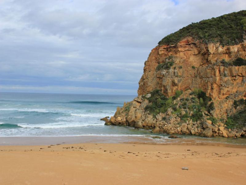
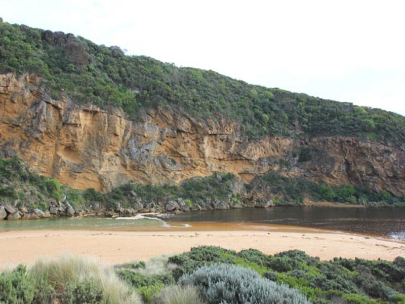
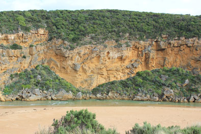
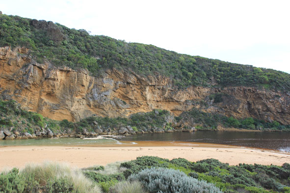
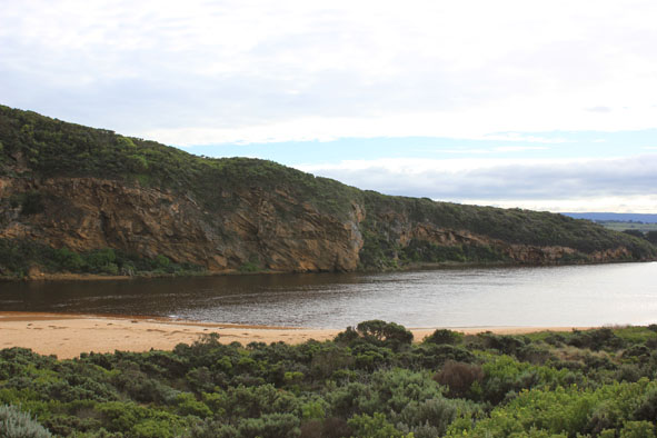
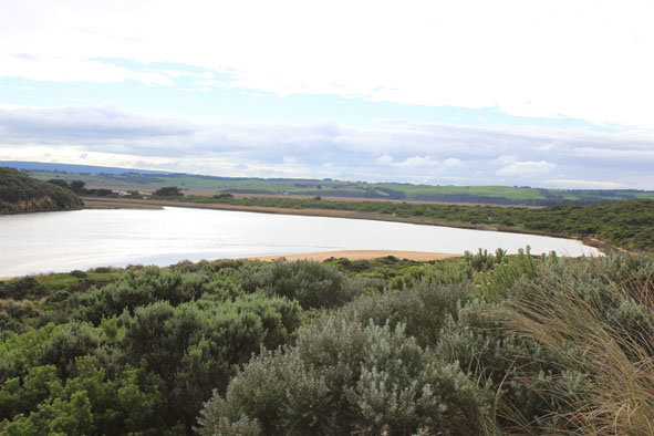
- Waves entering over wide area then travelling down channel, green water to near tunnel
- Rough sea, waves high up on beach, longshore drift across mouth
- Sand high at front of beach but drops lower further back into slight channel where water is travelling west back toward mouth
- Waves in estuary going north over covered sand bar but also swinging around to east, sand is building up in this area with increased projection into estuary
- Shell ducks 2. on south bank of estuary
Mouth Observation
| Mouth state | Open |
|---|---|
| Previous | O O O O O O O O O O O O O O O O O O O O O O O O O O O O O O O O O O O O O O O C C C P C C O O O O O |
| Flow Present? | Yes |
| Previous | Y Y Y Y Y Y Y Y Y Y Y Y Y Y Y Y Y Y Y Y Y Y Y Y Y Y Y Y Y Y Y Y Y Y Y Y Y Y Y N N N Y N N Y Y Y Y Y |
| Flow Direction | In |
| Previous | O O I I O O O O O O O O O O O O O O O O O O O O O O O O O O O O O O O O O O O N N N I N N O O I O I |
| Above Sea | Above Estuary | |
|---|---|---|
| Berm Height (m) | ||
| Berm Length (m) |
Physical Condition
| Current | Mode | |
|---|---|---|
| Wind Direction | North | |
| Beaufort Scale | Light Breeze | |
| Sea State | Rough |


All content, files, data and images provided by the EstuaryWatch Data Portal and Gallery are subject to a Creative Commons Attribution License
Content is made available to be used in any way, and should always attribute EstuaryWatch and www.estuarywatch.org.au