EstuaryWatch Data Portal
GMC Gellibrand River Estuary Mouth Observation Site
21 June 2014
Observation details
Overview
| Estuary | Gellibrand River Estuary |
|---|---|
| Site | Gellibrand River Estuary Mouth Observation Site |
| Observation ID | #8956 |
| Date and Time | Saturday 21st June 2014 11:20am |
| Approved | Approved |
Notes
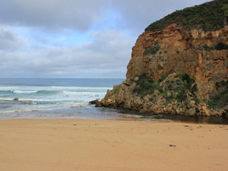
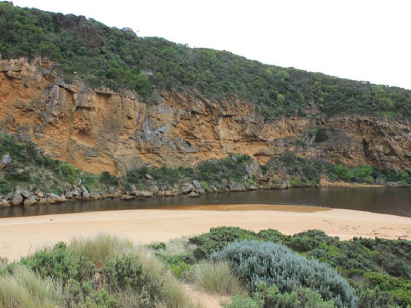
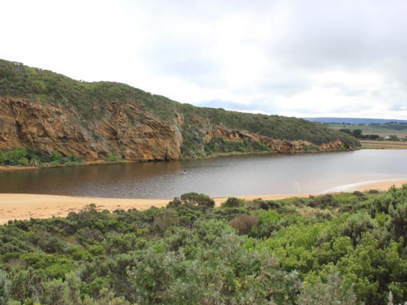
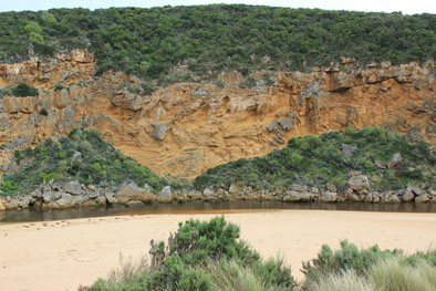
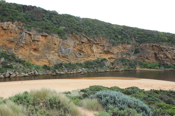
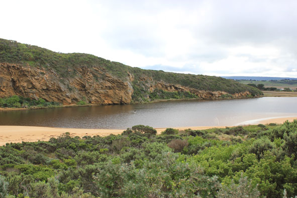
- Dark discharge out but only around mouth
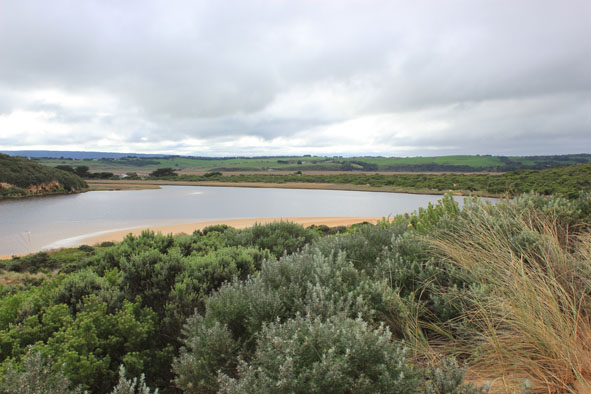
- Waves entering channel & north across nearly covered sand bar mid estuary
& sand visible in large waves out to sea- Sand highest at west end of ocean beach with high steep front to sea, further back there is a depressed lower area running down to ward mouth & channel
- Sandbar in estuary just under water, seaweed deposited along south side of estuary
- Very few signs of small fish in remaining shallow pools along low track
Mouth Observation
| Mouth state | Open |
|---|---|
| Previous | O O O O O O O O O O O O O O O O O O O O O O O O O O O O O O O O O O O O O O C C C P C C O O O O O O |
| Flow Present? | Yes |
| Previous | Y Y Y Y Y Y Y Y Y Y Y Y Y Y Y Y Y Y Y Y Y Y Y Y Y Y Y Y Y Y Y Y Y Y Y Y Y Y N N N Y N N Y Y Y Y Y Y |
| Flow Direction | Out |
| Previous | O I I O O O O O O O O O O O O O O O O O O O O O O O O O O O O O O O O O O O N N N I N N O O I O I I |
| Above Sea | Above Estuary | |
|---|---|---|
| Berm Height (m) | ||
| Berm Length (m) |
Physical Condition
| Current | Mode | |
|---|---|---|
| Wind Direction | North-West | |
| Beaufort Scale | Light Breeze | |
| Sea State | Rough |


All content, files, data and images provided by the EstuaryWatch Data Portal and Gallery are subject to a Creative Commons Attribution License
Content is made available to be used in any way, and should always attribute EstuaryWatch and www.estuarywatch.org.au