EstuaryWatch Data Portal
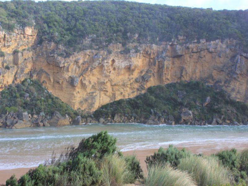
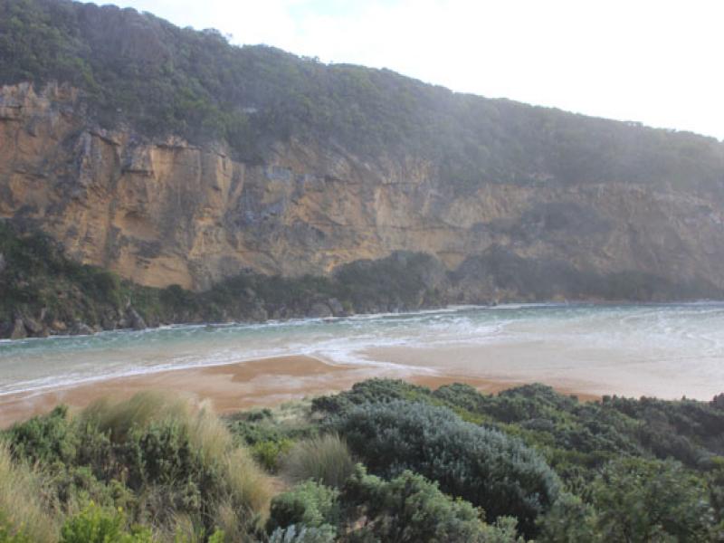
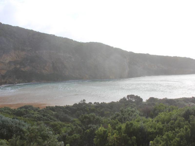
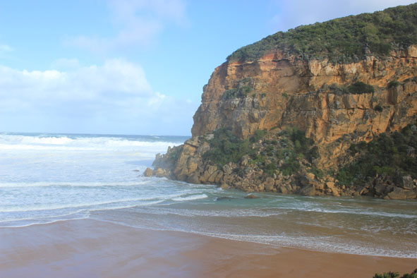
GMC Gellibrand River Estuary Mouth Observation Site
24 June 2014
Observation details
Overview
| Estuary | Gellibrand River Estuary |
|---|---|
| Site | Gellibrand River Estuary Mouth Observation Site |
| Observation ID | #8964 |
| Date and Time | Tuesday 24th June 2014 11:25am |
| Approved | Approved |
Notes
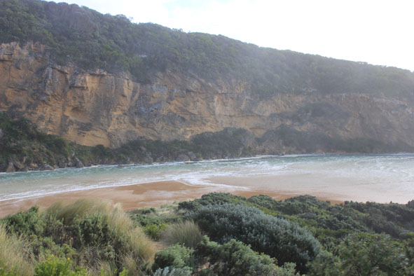
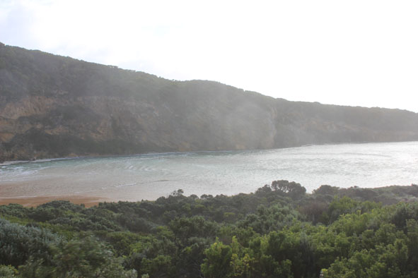
-Waves over 1-2m. high along the channel & into the estuary where they turn to east & impact east side of estuary & reach car park
- Waves in all directions in channel with huge whirlpool near tunnel entrance -some over top of structure
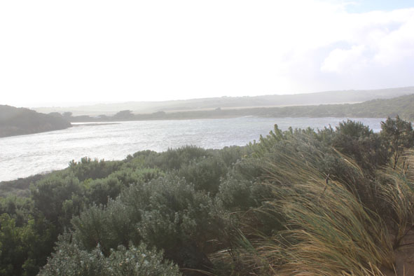
- Flooding west end of camp ground & wetlands west & north, water forming on side of OCR
- Fishing platform under water
- Green water under bridge (G2) & upstream well past township
- Extreme winds have up rooted many very large trees & closed GOR
- Flood water just starting to come across OOR
Mouth Observation
| Mouth state | Open |
|---|---|
| Previous | O O O O O O O O O O O O O O O O O O O O O O O O O O O O O O O O O O O O O C C C P C C O O O O O O O |
| Flow Present? | Yes |
| Previous | Y Y Y Y Y Y Y Y Y Y Y Y Y Y Y Y Y Y Y Y Y Y Y Y Y Y Y Y Y Y Y Y Y Y Y Y Y N N N Y N N Y Y Y Y Y Y Y |
| Flow Direction | In |
| Previous | I I O O O O O O O O O O O O O O O O O O O O O O O O O O O O O O O O O O O N N N I N N O O I O I I O |
| Above Sea | Above Estuary | |
|---|---|---|
| Berm Height (m) | ||
| Berm Length (m) |
Physical Condition
| Current | Mode | |
|---|---|---|
| Wind Direction | South-West | |
| Beaufort Scale | Strong/severe gale | |
| Sea State | High |


All content, files, data and images provided by the EstuaryWatch Data Portal and Gallery are subject to a Creative Commons Attribution License
Content is made available to be used in any way, and should always attribute EstuaryWatch and www.estuarywatch.org.au