EstuaryWatch Data Portal
GMC Gellibrand River Estuary Mouth Observation Site
7 November 2014
Observation details
Overview
| Estuary | Gellibrand River Estuary |
|---|---|
| Site | Gellibrand River Estuary Mouth Observation Site |
| Observation ID | #9209 |
| Date and Time | Friday 7th November 2014 08:10am |
| Approved | Approved |
Notes
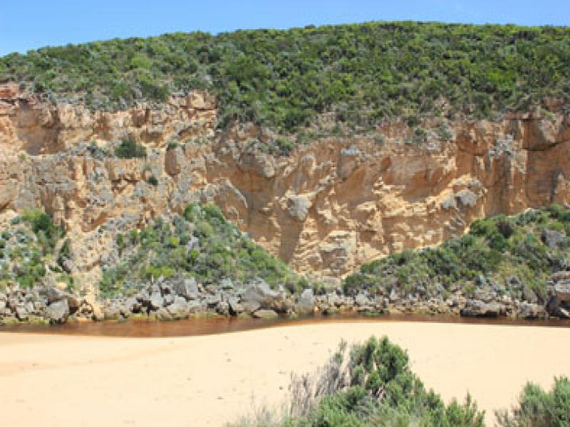
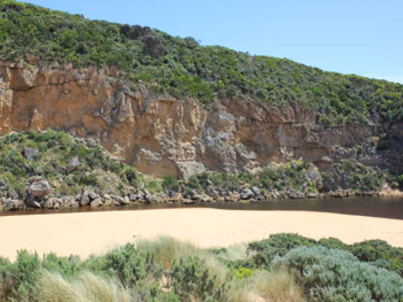
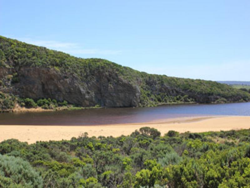
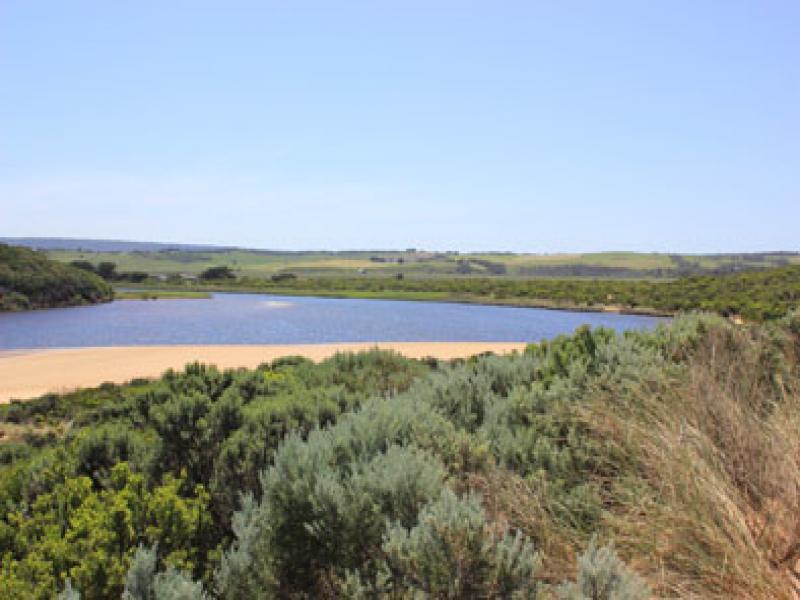
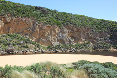
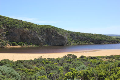
- Dark discharge around mouth but being held back by longshore drift
- Reduced flow & increased sand build up
- Area between rocks & sea very shallow, also upstream rocks
- Waves entering both sides of rocks but flow out only between rocks & cliff
- High sand with sheer face formed at mid beach (2m +)extending toward east but area near mouth is rounded off
- Hooded Plover tracks toward east end of beach
Mouth Observation
| Mouth state | Open |
|---|---|
| Previous | O O O O O O O O O O O O O O O O O O O C C C P C C O O O O O O O O O O O O O O O O O O O O O O O O O O O O |
| Flow Present? | Yes |
| Previous | Y Y Y Y Y Y Y Y Y Y Y Y Y Y Y Y Y Y Y N N N Y N N Y Y Y Y Y Y Y Y Y Y Y Y Y Y Y Y Y Y Y Y Y Y Y Y Y Y Y Y |
| Flow Direction | Out |
| Previous | O O O O O O O O O O O O O O O O O O O N N N I N N O O I O I I O I O O O O O O I O O O O O O O O O O O O |
| Above Sea | Above Estuary | |
|---|---|---|
| Berm Height (m) | ||
| Berm Length (m) |
Physical Condition
| Current | Mode | |
|---|---|---|
| Wind Direction | North | |
| Beaufort Scale | Fresh breeze | |
| Sea State | Rough |


All content, files, data and images provided by the EstuaryWatch Data Portal and Gallery are subject to a Creative Commons Attribution License
Content is made available to be used in any way, and should always attribute EstuaryWatch and www.estuarywatch.org.au